Author Archives: Bluejay

Creature Feature 2023 #5

It was a really nice late fall day today, and one that made me think about getting out on the lake one more time this season, even though there was some wind making the lake a bit choppy. No matter, on to the lake!

Any time there’s good sun on a cool day the turtles will be out.

This big white guy (duck? goose?) seemed intent on crashing the duck party:

I’m not sure how this picture happened, I saw some ducks on approach and started shooting (with the camera, of course):

Splash down! This is what I was wanting to get:

There were several large groups of Canada Geese around. One took off near me:


I’ve said it before, and I’ll say it again, just when I think I’ve seen about everything the lake has to offer, I see something new. I don’t remember ever seeing an American Coot here before:

And for the obligatory Great Blue Heron picture… I passed a Heron who was almost hidden in the brush along the shore, and figured I’d gotten by without disturbing him. Then he took off, flew past and ahead of me before I could grab the camera, but then he circled back towards me. I got a lot of camera frames from his fly-by, making it hard to pick the ones I wanted to post. Imagine flying on those big wings!


And I wished him well as he flew south towards the sun; looks like something out of “Jonathan Livingston Heron”…

The trip on Strava.

Creature Feature 2023 #4

I know, I’ve got some catchin’ up to do with the pictures. I’ve been out there with the camera, but been a bit preoccupied trying to figure out how to ride a mountain bike.

Speaking of mountain bikes, you can see some odd things along the trails, like this “appliance in the woods” I found beside the Long Cane Horse Trail:

I’d really like to know what that small freezer was doing out in the middle of the woods, and why it’s so celebrated.

Anyway, back to the lake, Great Egrets are here, I usually see them just in the late summer – early autumn.

Feast day for the spiders stringing webs around the bridge:

I don’t recall seeing ducks like these before, but they are ducks:

I’m not sure what drew in these Black Vultures, maybe they just wanted some time at the beach:

Nature’s lesson: just because a tree has died, that doesn’t mean it’s contribution to the forest is at an end:

Now this could be noteworthy, if my identification is correct:

This seems to match pictures and other information for a Limpkin. That is, matches everything except the range maps, which show Limpkins inhabiting no farther north than Florida. Climate change in action?

And, of course the obligatory Great Blue Heron pictures:

And, yes, they do fly in the fog. They must be equipped for IFR.

We’ve had some neat sunrises lately. I’ll leave you with this one:

Long Cane Scenic Area

Some who know me will know that I’ve been road biking for quite a while. Recently I came to possess a mountain bike, rather unexpectedly. I’ve always thought I’d enjoy mountain biking, because I like being in the woods, but with a dearth of trails nearby and having a lot of time constraints, I didn’t pursue it. A couple months ago I got an Email at work saying “hey, 25 years, congratulations, go to this web site and pick you out an award gift”. I started scrolling through endless lists of watches, small appliances, jewelry, coffee makers, and was about to decide not to bother with… OOO! I can get a mountain bike! And with fewer time contraints these days, as Chang said, “when the time is right for something, nothing can prevent it”.

So I got the bike (it’s not a high-end bike by any means, Walmart and Tractor Supply sell these), but for the price it’s a good learning tool. The Most Important thing I learned right off is that mountain biking and road biking are almost, but not quite completely different. Two wheels, two pedals, gears, that’s about the overlap. Even the handle bars and shifters are different. In fact, in some ways, my extensive road biking experience is a hindrance, as riding trails is apt to set off all my road-biker-instinct alarm bells. Gravel??? Emergency stop! Mud! AKKkkk! Plus there’s skill involved in this. I’ve often hiked trails used by mountain bikers and thought “Geez, they ride this trail? Intense!”

I don’t know that anything I’ve been doing so far counts as “intense” (to anyone except me), but I’ve been getting better at this. I spent this morning on the (so-called) Long Cane Horse Trail (it’s actually multi-use), completing my most ambitious ride so far. I’d say I rode most of the trail, hopping off to walk just intermittently when it got more technical than I wanted to attempt or I couldn’t silence those road-biker alarm bells.

I started at the Parsons Mountain Lake recreation area, joining the trail at point “I” if you’re looking at the map. I decided to go clock-wise, as the last segment in that direction looked a bit tamer (I was right about that). The trail was pretty easy to follow, although a few places where it crossed a road could have used some additional marking. Looking at the map you’d think the trail just crossed the road, but in reality, there was an offset left or right.

This was a nice leg along the McGill Branch:

Along the way there were some historic sites. I’m not real sure what this one was:

but this seems Important:

There was some logging going on south of Curtail Road, this swath cut across the trail (one of those crossings that could use some additional marking):

Point “B”, a bit over half-way for my planned route, was a good place to stop for some fuel transfer:

I’m still not too keen on some of these water crossings:

There was another one on a narrow metal bridge that I ended up tip-toeing the bike across because I just wasn’t ready to charge down the hill, across that little narrow bridge (even though I know I can ride a straight line) and back up the other side.

I’ll get there.
Strava link: https://www.strava.com/activities/9419102990

Creature Feature 2023 #3

Happy Independence Day to my US viewers! Here’s a few pics from my last couple of trips out on the lake.

I like to start our early, so here’s a nice sunrise picture.

And at sunrise, birds have a lot to say (light was too bad to ID this one):

The Deer like to come out to the lake too:

I was tracking the Beaver in the background when the one on the right, that I didn’t see, sounded the alarm:

Canada Geese in the early morning sun:

Ducks and geese hangin’ out together:

Gathering of the wading birds in a tree:

Door Dash at the Osprey nest?

Here’s the obligatory Great Blue Heron picture, on the hunt for breakfast:

Not close enough for a good picture, but as this is the Fourth of July, here’s a Bald Eagle:

Creature Feature 2023 #2

I know, it’s been a while…
I was going to ride my road bike this morning, but the atmosphere was threatening rain, and the radar suggested the rain might get here ahead of forecast. I don’t like to be on the road in the rain, so instead I took the kayak out on the lake. It’s not like a little rain falling from the sky will make much difference with all the water splashed around from the lake.

And I had the mountain bike on the trails at the Lake Rabon Park yesterday, so I got in some peddling. It was a chilly morning, enough so to raise some steam fog.


When mountain biking, it’s important to keep an eye out for other trail users and give them their space.

A little catch up from around the neighborhood: this tree is one that just wouldn’t give up. It got bent over 90 degrees and put up 4 more trunks on top of the bent portion.

This lead plant was starting to bloom and attracting the pollinators (bon appétit!):

I think this must be where I’ve seen the vultures going to roost every night (N.B. that’s not snow on the ground):

I have Eastern Bluebirds using the nest boxes in my front yard:

Back to the lake this morning… The Osprey are making good use of the platform by the dam. I saw a head pop up from the nest several times while I was watching, while the alert parent watched me.

This Osprey in flight was giving a good demonstration of wing design. Those splayed feathers at the tips recover energy from the wingtip vortices, just like the “winglets” on human airplanes (note: the Osprey thought of it first).

I’ve mentioned before how difficult is is to get a good picture of the (relatively) small and fast-moving Belted Kingfishers. Here’s a difficult photo:

This group of Canada Geese included some young’uns. They grow up so fast….

At the other end of the cycle, I came across this lone goose, who was obviously in difficulty, continuously turning around in one spot with his head off to one side.

I thought maybe he got caught up in some fishing line or something a sloppy human left laying around, so I approached carefully. He didn’t seem to notice me, and I got close enought to sweep my paddle under him to see if there was anything hanging. I found nothing, and as I watched he was clearly running out of energy. I tried calling the local wildlife rehab to see if I could get someone quickly, but that didn’t happen and with little option, I reluctantly left the situation to the natural processes. A little while later I came by and found only a feathery debris field in that area.

sigh.

On a more solid footing, this rock gave an idea of the historical lake levels:

And finally, we have the obligatory Great Blue Heron picture:

and this is what that long pointy beak looks like when it’s pointed right at you (yes, I’ll leave you alone):

Davidson River

I just spent some time up in North Carolina again, this time at the Davidson River campground in the Pisgah National Forest. My objective, as last time, was to continue working towards a real backpacking trip.

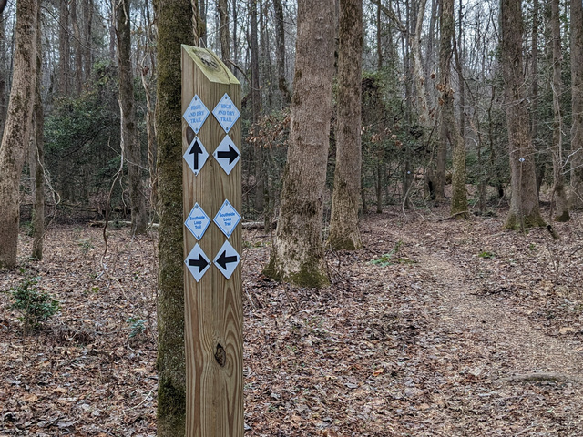
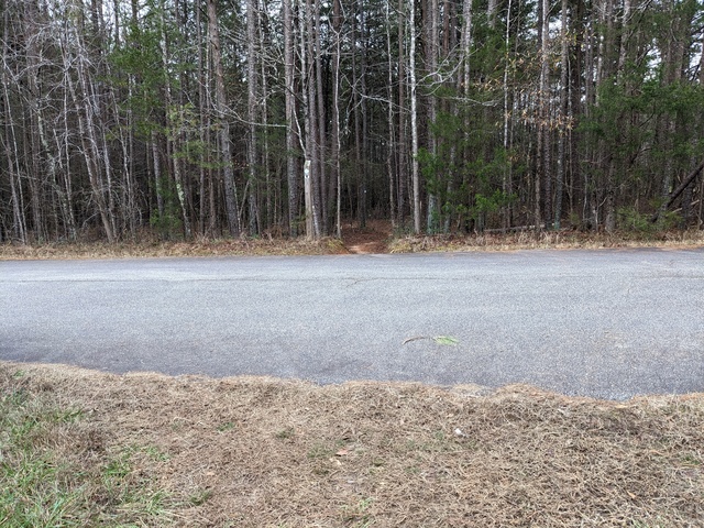
The first order of business was to hike with my backpack full of camping gear (around 18kg, I really need to revisit that “ultralight” camping thing). I set out on the North Slope trail, which I guess is because it’s on the north side of a ridge. I was actually going south while sloping up.

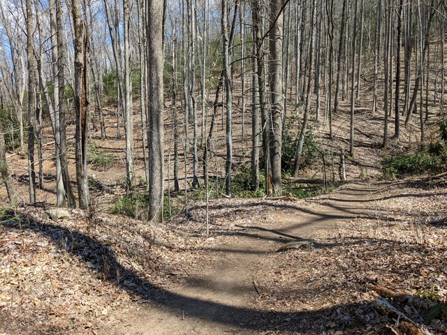
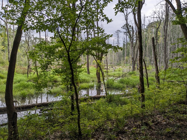
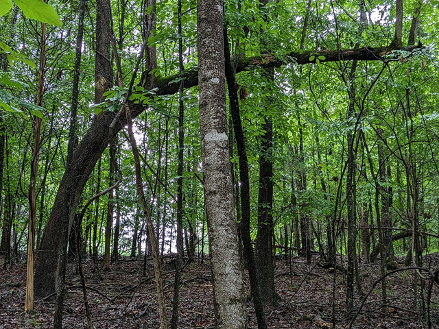
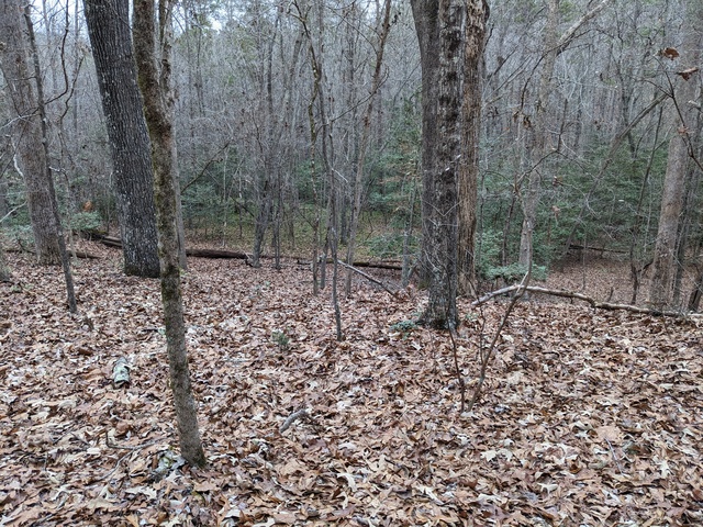
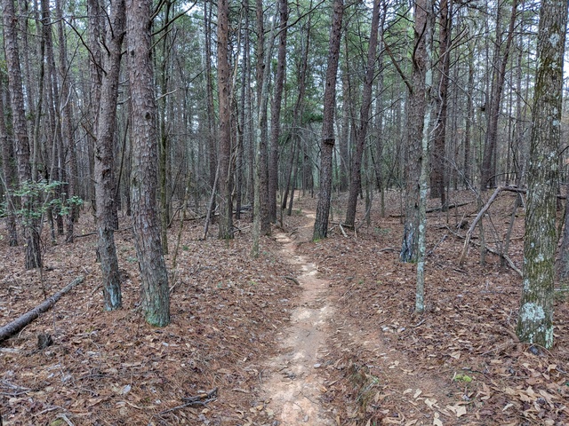
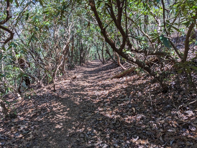
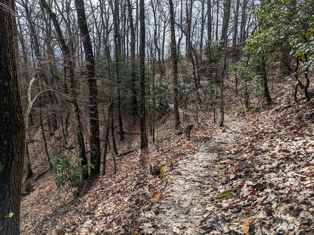
A nice walk, it was good just being in the woods.

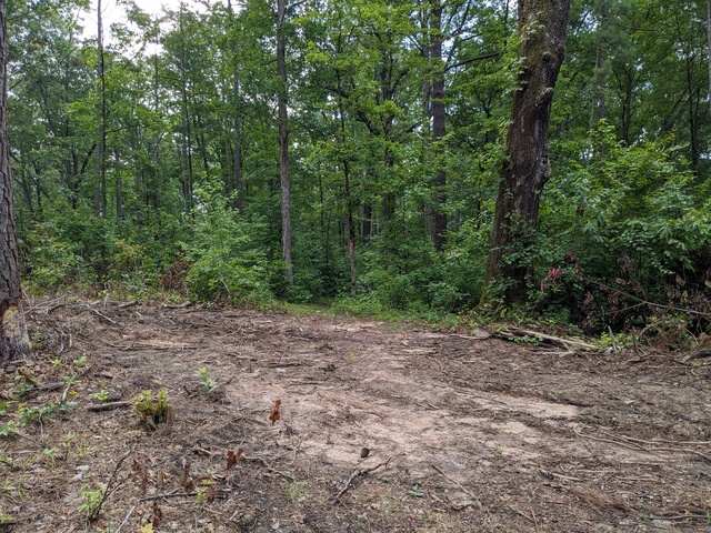
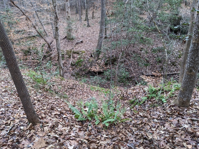
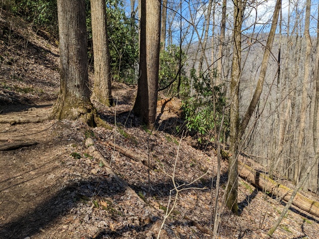
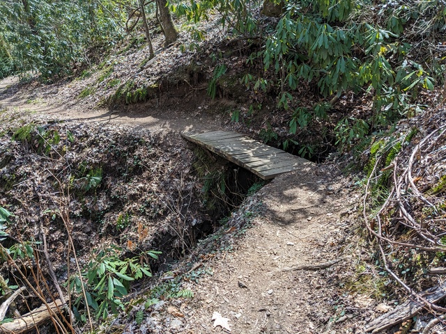
There were places to be careful, though. You could literally fall off the trail, and it might be a while before you came to a stop.

This looked just a bit precarious. I’m impressed that mountain bikers ride this trail.

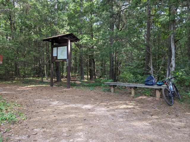
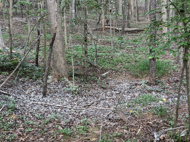
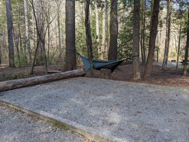
Having completed that, it was time to set up camp. I don’t know what that big flat spot was for, there was a paved area to leave the car on.

As on my last trip, I didn’t partake much of the campground facilities, just getting water and using the bathhouse (they don’t like campers digging catholes for some reason). My objective was to live on what I had in my backpack. That said, the place did seem to be well run, the facilities I used were in good order, and the campsites were not too close together. The campground does sit right alongside US276, so there’s a fair bit of traffic noise during the day and evening. That did provide a bit of a handrail while I was on the North Slope trail: I knew I was going in the right direction as long as the traffic was on my left, and I was heading back towards the campground when it moved in front of me.

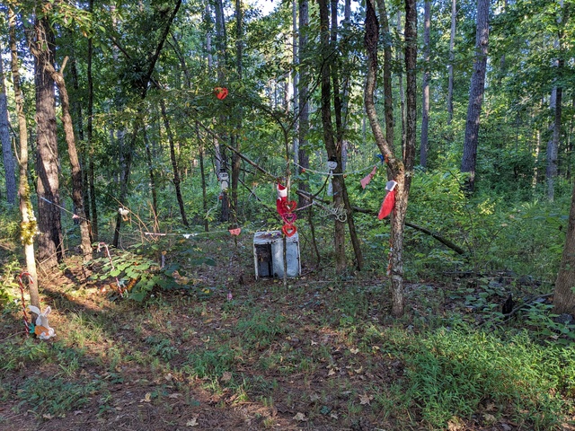
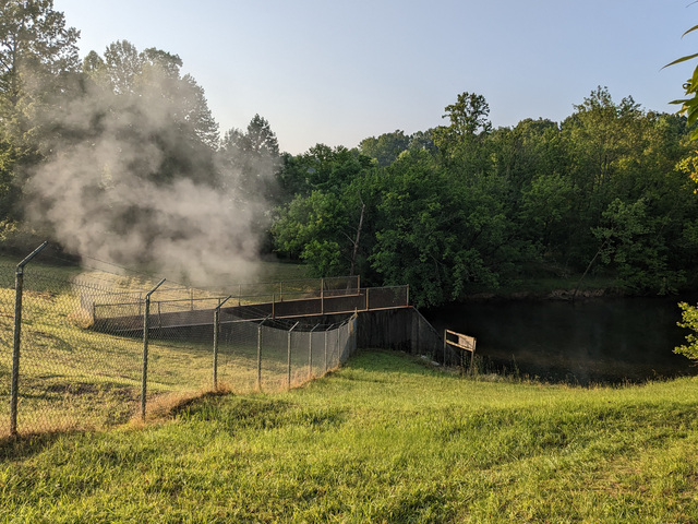
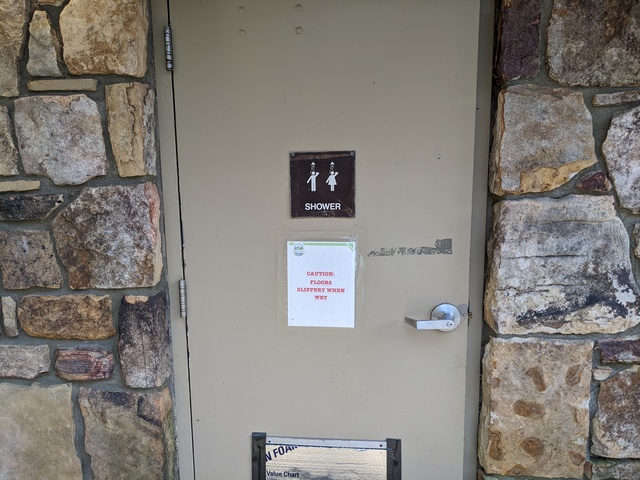
I’m glad I didn’t have to use this shower, because I didn’t bring anyone along with me.

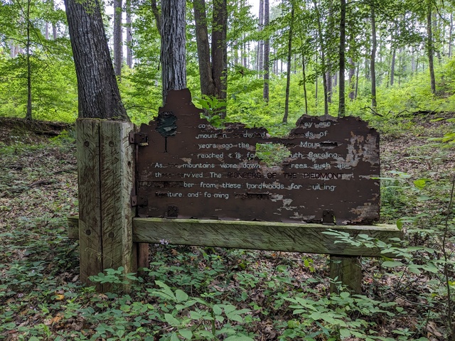
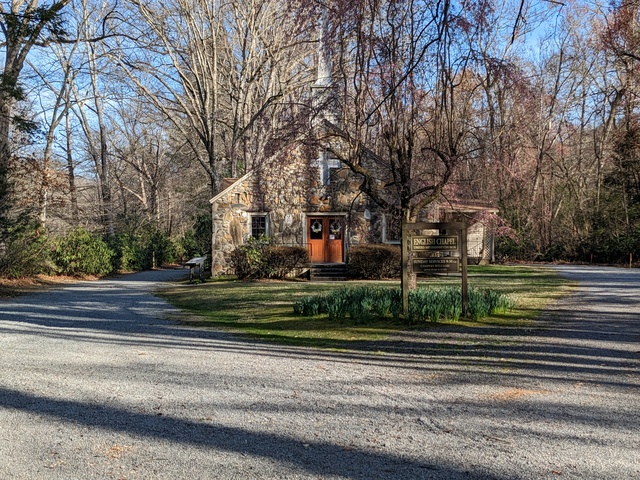
I kept noticing on the map this “English Chapel”. Turns out it has nothing really to do with England, it was built in the 1800s by a man named English.

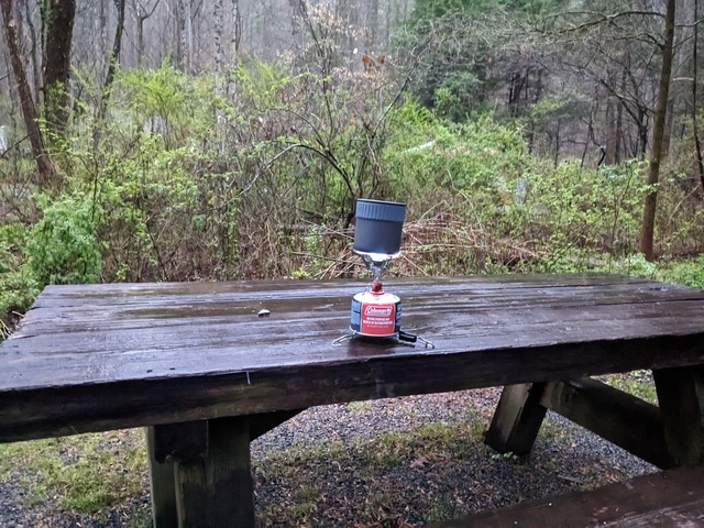
The next morning brought rain. This provided a Useful Learning Experience for my backpacking aspirations. I know now that my little camp stove works in the rain.

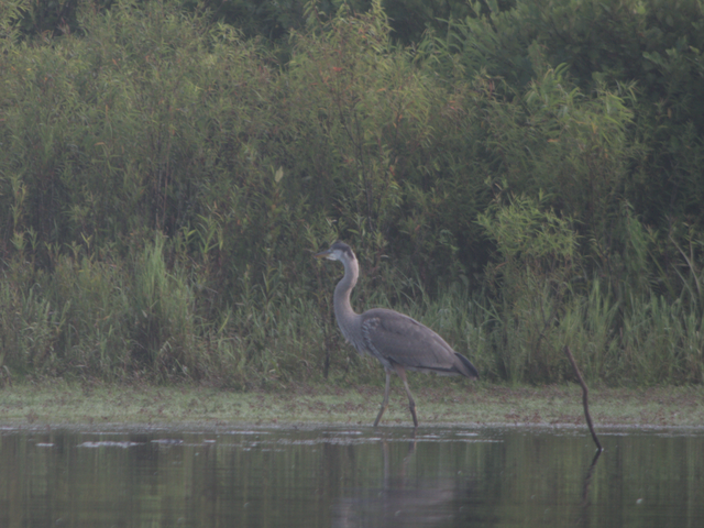
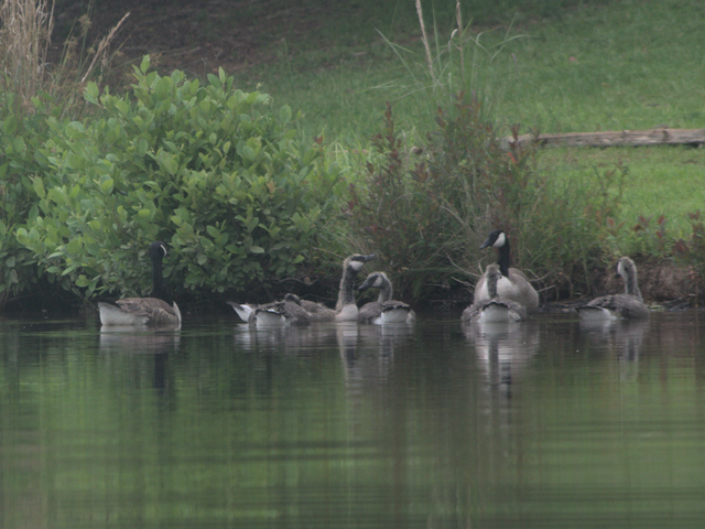
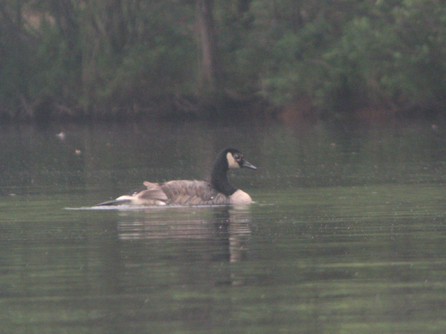
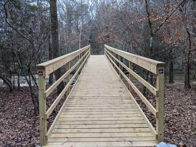
Time to hit the trail again, starting out on the North Slope trail along the Davidson River. This time with a lot less backpack, maybe 5kg.

There’s a connector between the North Slope trail and the more extensive Art Loeb trail that passes by the south side of the campground and ends nearby. Climbing that connector trail taught me to not pay much attention to the climb going up, just keep going. Then if you want to look back (down), ok. You can see some of the switchbacks below in this picture. This climb started way down there.

Oh Sure, NOW you tell me this trail is “Most Difficult”. Like what I just climbed wasn’t?

I did see a couple of people running up here, which is gotta be hard core.

Ok, so this is STILL “most difficult”.

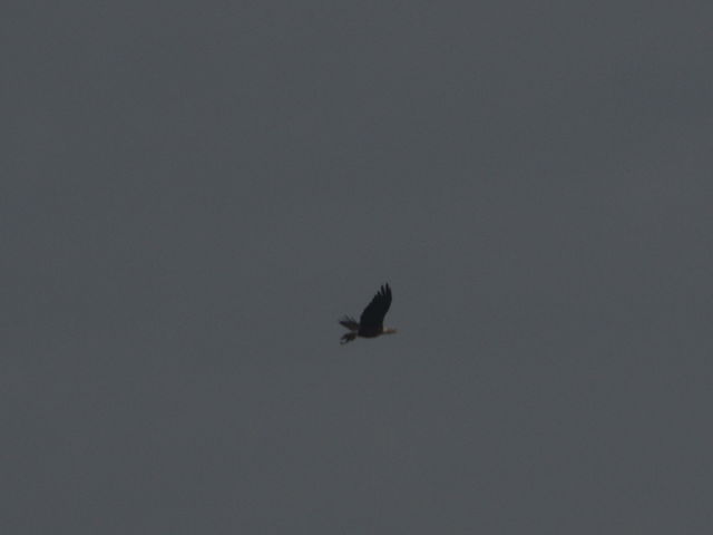
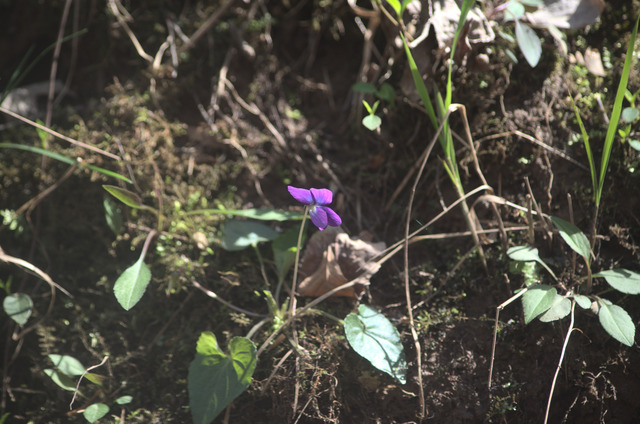
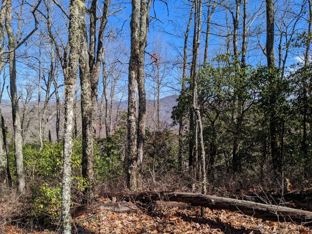
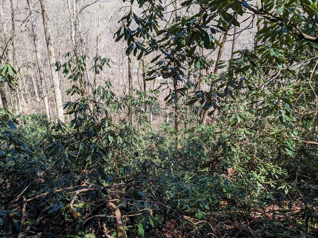
There’s not a lot of wide open vistas up here, but you can get some views.

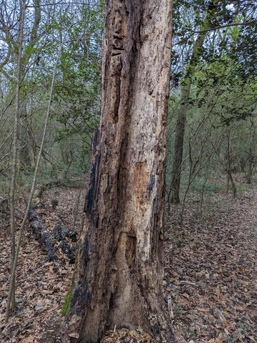
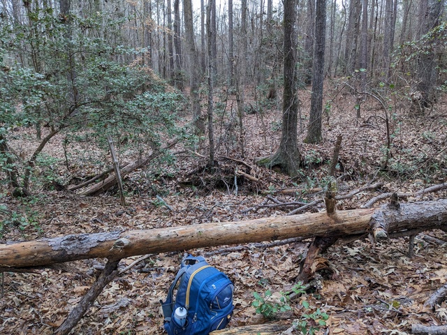
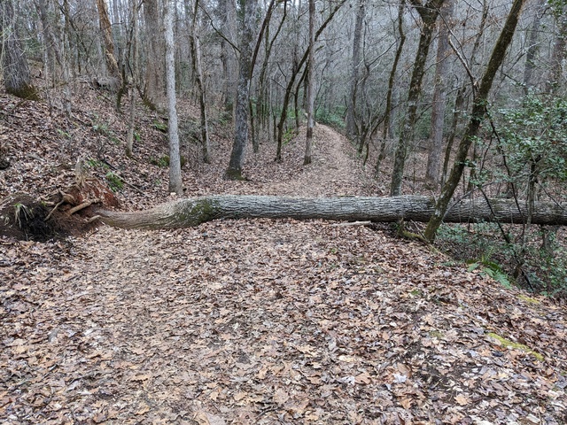
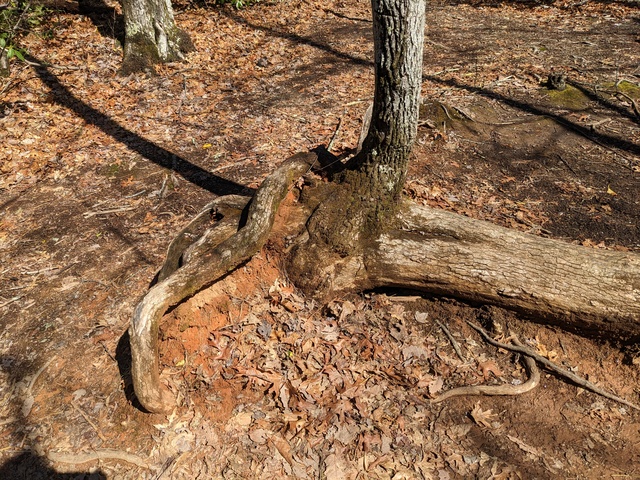
N.B.: A tree that falls over is not necessarily done for.

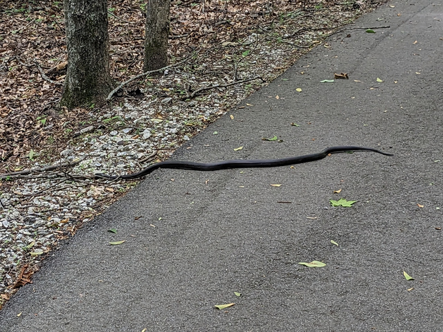
What, go off the trail? Here??

Again, there are places you could fall off the trail.

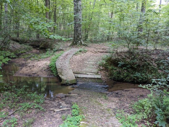
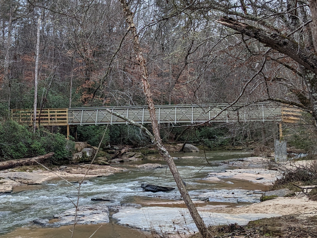
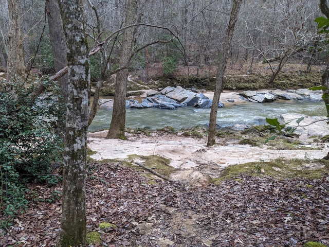
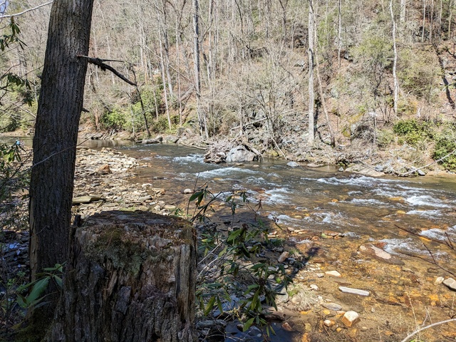
Finally, back down to the river. Whew.

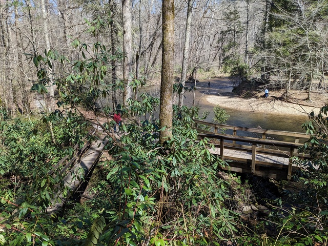
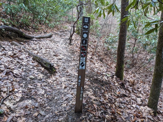
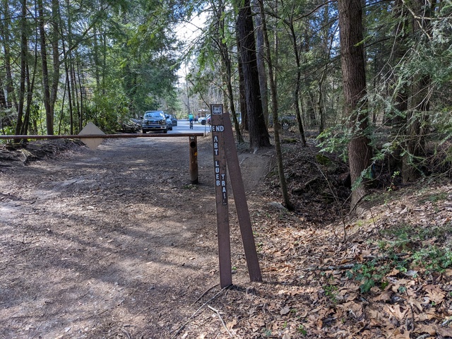
And the end of the Art Loeb Trail.

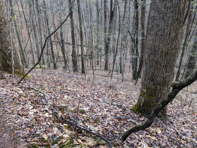
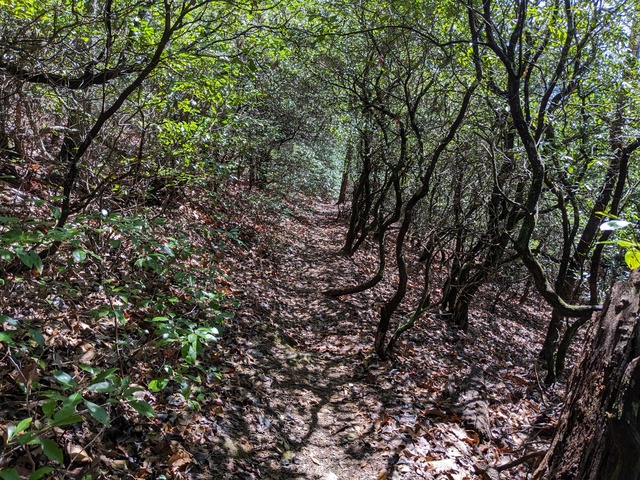
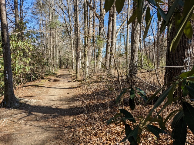
Of course, I’m still not back to the campsite. Most of the way from here is like this, no climbing to speak of, no tree roots to tiptoe over, no precipitous falls if you make a wrong step.

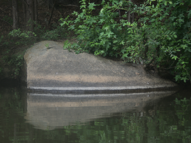
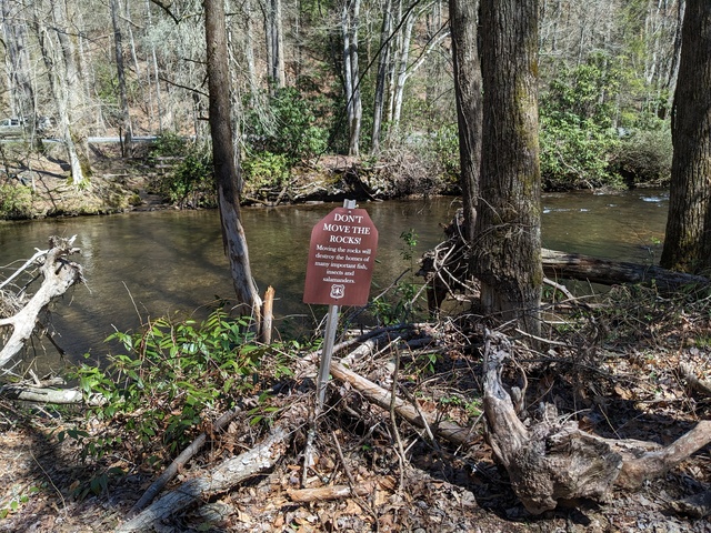
Nope, don’t move the rocks. That would be leaving a trace.

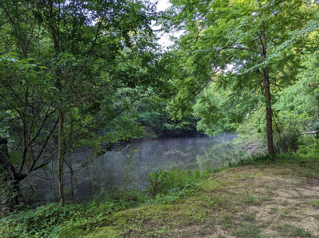
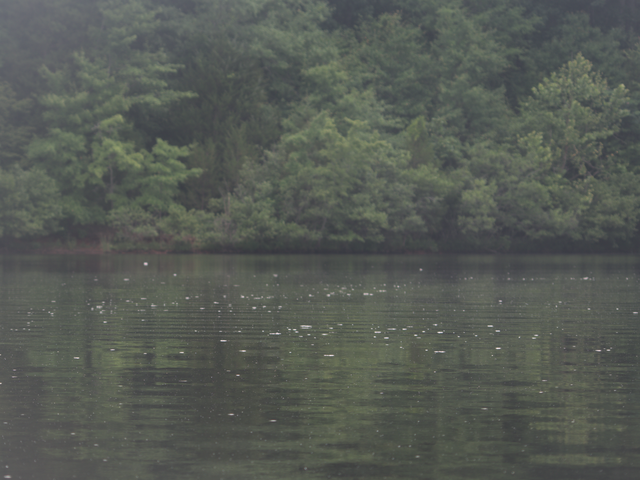
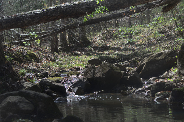
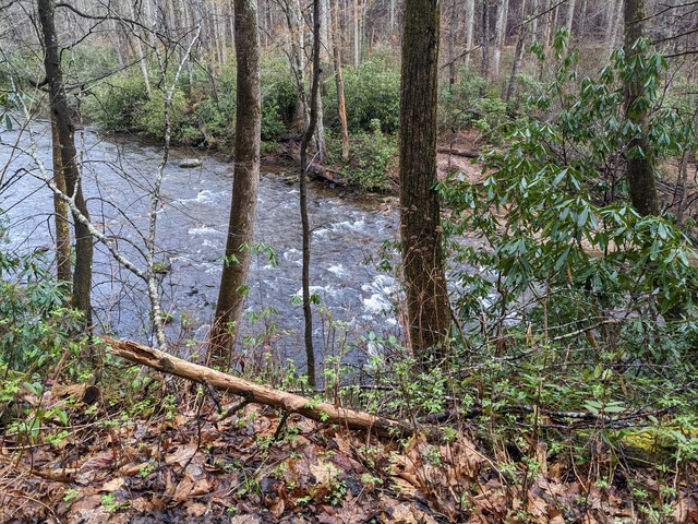
There’s a few places where the river has some little rapids.

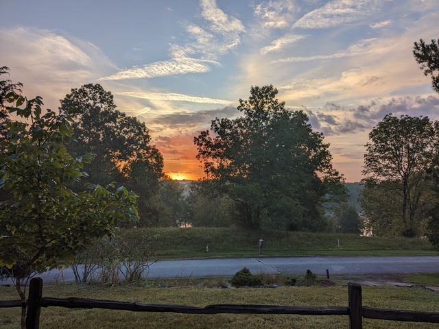
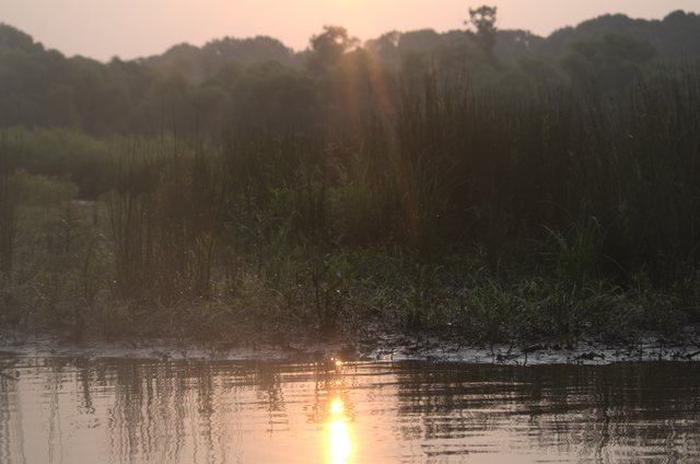
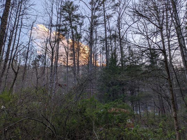
And finally, a day well done, and the sun about to close up shop behind a cloud and mountain.

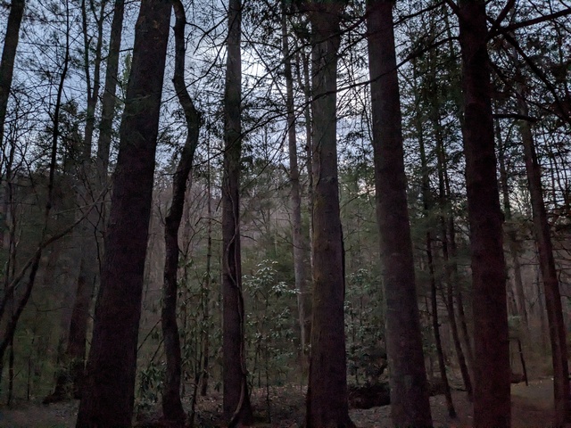
Until sunrise the next morning, and time to pack up and go back to “civilization”.

I didn’t head straight out of the mountains just yet however. REI was offering a class in “wilderness survival”, which I thought would have Useful Information to know as I approached that backpacking trip. And it did. Highly recommended if you might be in the wilderness. It won’t make you an expert, but will give you things to think about and a good idea what else you need to learn (for example, I need to work on my knot tying).

All in all, a good trip, met the objectives, a learned a good bit. I knew those trails would be a stretch for me, and they were, but at no point did I consider giving up. There were a few times, however, where I wondered “what have I gotten myself into??”

Strava links:
North Slope trail
North Slope/Art Loeb trail

Creature Feature 2023 #1

Well, everything else around here seems to be getting into spring early, so I figured I might as well join in and start using my new boat permit. (Reminder, since it’s been a while, you can click on the images here to get to a full-resolution version.)

A little catch up, a few weeks ago I was about to go out the back door and stopped to see if I’d be disturbing anyone out there. I saw this Cooper’s Hawk in a nearby tree:

Turns out he stopped by for a late dinner (there wasn’t much light left). Later I looked around and found what looked like some Chickadee feathers below the dinner table.

Lots of creatures find a meal in my yard.

Anyway, like I said, things are greening up already:

And there were a bunch of these little flowers popping up along the bank of that little feeder stream:

A few ducks were out and about:

A group of my Corvid familiars were hanging out in some trees on an island:

Motion caught my eye, and I was a bit surprised to be able to get a picture of this little Tufted Titmouse in a bush on the shore:

A Turkey Vulture was soaring up high, on patrol for a cleanup job:

Cormorants are starting to gather in numbers here, getting ahead of the shad probably.

Not too early for the Osprey to be getting down to business:

Didn’t see any Herons around, but of course the Canada Geese are here all the time (I hear ’em partying all night):

This guy let me get a bit closer than I would have thought, but she was also keeping a close eye on me:

Route on Strava

Vince Adametz, conclusion

I’m sorry the live stream didn’t work out, the videographer said they just couldn’t get the signal the needed out of where we were in the cemetery.

The recording is available for anyone who wants to see what went on. This will redirect to youtube:
https://my.anc.media/3ktdOpu

And, at this point, as they say, “mission accomplished.”

Arlington National Cemetery does something like (IIRC) 30 of these services per day, which necessitates a certain efficiency to keep things moving, however that efficiency does not impinge on the solemnity or dignity of these ceremonies in any way. At no point did anything seem rushed or like it was on a timeline. They do this Right. Everybody we encountered, from the guards checking IDs, people directing parking to the Honor Guard, Minister, and everyone else gave us complete respect and honor for our loved ones.

N.B. our videographer is not affiliated with Arlington National Cemetery. The Cemetery does not provide this service, nor do they even recommend videopgraphers.

Arlington live stream

For those who may wish to attend the ceremonies for my Parents at Arlington National Cemetery but are unable to Be There, we will have a live stream. You can test access and see a countdown at:
https://my.anc.media/3jb8GGb
This being the Washington ADIZ, sometimes the President or the Black helicopters cause communication interruptions, but we’ll do the best we can.
Ceremonies are scheduled for Tuesday, 2023-01-17, at 10:00 (am) EST.

Solstice at Croft

I thought the Winter Solstice might be a good time to pay a visit to my favorite place for a walk in the woods, Croft State Park. I know I was a day early, but, close enough!

The good news is that the bridge across the Fairforest Creek, that was washed out some years ago, is back!

(as usual, click on the pictures for a full-resolution version) You can now cross the creek between the north and south part of the park (unless you have 4 feet):

With the bridge there, I decided to take a walk around the Southside Loop Trail.

Contrary to the assertion of a friend, the Fairforest Creek is not a “babbling brook”. It was quite coherent and I understood its every word.

This old tree looks like it’s been a buffet for woodpeckers.

I came across this apparently late-blooming plant. The thin pink leaves caught my eye, and the round leaf with markings that look amazingly like “survey marker do not remove” probably gives this plant a survival advantage in areas frequented by humans.

Actually, there were a number of these in areas that looked like work had been going on. I know they’ve been trying to clear any Dangerous Things left over from when this was a World War II training base. In the meantime, stick to the trails and keep your eyes open.

As is usual for Croft, the trails on the south side are well marked. Um…. yeah, I think I should go THAT way.

I’m not sure what caused this tree to grow a gall like this, must have been pretty irritating:

Along the trail I saw arrows pointing to the side, but no other markings. That little spur lead to the power line right-of-way and I figured that’s all that was. Oh wait, maybe that was the detour!

In some areas the trail gets a bit vague, but if you look farther ahead with a wider view you can make it out:

It’s a bit jarring when the trail suddenly gets hard and gray and Reeeally Wide:

but just past that point it’s all back to a normal, comfortable forest trail:

I took a side helping of Fern Gully Trail. I found the Fern Gully:

Which was also a good place to pause and lighten my backpack. N.B. lightning the backpack doesn’t necessarily lighten the total gross weight, it just moves the center of gravity a bit.

The south side trails are frequented by mountain bikers. I imaging this would give them pause:

The other side of that log had some rocks piled up to form a bit of a ramp, so I guess the bikers usually go around clockwise, while being my usual odd-ball self I was going counter-clockwise.

All-in-all a good day. The NWS was putting out special weather statements all day about sleet being mixed with the light rain across the area, but that all stayed south of the park and I just heard some light rain falling a few times.

Route on Strava, which also took in the Fairforest Loop Trail as I wasn’t quite ready to leave the forest after completing the Southside Loop Trail.