Hi there!

Welcome to my view of the world, as seen with my own eyes, or my camera, around the lake, from the sky, in my mind’s eye, or, occasionally, in the media.

You’re welcome to share what you find here, as long as you give me an attribution or link back here.

I try to post something about once per week. Now, on with the show…

Road trip, 2025

If you’ve been watching closely, you’ll note that I’ve been a good bit out of my home range, not unlike what I did last year. I did decide to be a bit less epic this year, and omitted Arlington National Cemetery (while I love and miss my parents, big cities are anathema to me) and Massachusetts (I saw what became of it in the 40 years after I left, I’ll check back in another 40 years πŸ˜‰).

The primary purpose of this trip, like last year’s, was to visit family in Pennsylvania. But that’s just way too long of a drive for one day (for me anyway), so I located a couple of State Parks in Virginia that happened to be almost exactly half-way there. Like before, I scheduled a break from the driving to spend a day hiking in the woods at those State Parks, this time at James River on the way north, and at Douthat on the way back. See those links for details of my stays there.

I kept to what worked last time, early starts, easy schedules, vague ETAs (“I’ll be there late afternoon”), regular breaks (target: every 1.5 hours), and take my time. If someone else on the road is in a much bigger hurry than I am, I let them go ahead. Heck, it’s not like it’s going to do them any good to get there before I do, the campsite reservations are in my name, so they’ll have to wait for me anyway.

Once again, I got to visit the World’s Largest Shop-Rite Supermarket.

The store is said to be 105,000 square feet, and you could spend a day there if you weren’t careful. The store is mostly powered by a 10-acre solar farm adjacent to the store.

While there, we paid a visit to Beltzville State Park, but it was a really windy day and no one in our little group (myself excluded, of course) weren’t too interested in being out there.

Actually, it was pretty windy the whole time I was there, but I’m not claiming responsibility.

But back to the focus of the trip. It seems some of my Sister’s neighbors are following the Sally Forth school of Halloween decorations. If you follow that comic, you’ll know what I’m talking about.


And closer to “home”, my Sister is a Supertastical gardener, and everywhere you look, there are spring flowers blooming.


She’s also a great cook. To earn (or at least return the favor of) my meals, I helped with some of the spring garden prep and planting. I’m looking forward to getting my share of the blueberries 😏.

I’m already thinking about my next trip up north next spring (PTO willing). I think I’ll return to Douthat State Park, VA and hike the other side of it. There’s also Natural Bridge State Park, VA that’s also in a geographically-advantageous location I might check out.

The trip by the numbers:
Statute miles driven: 1413.0
Fuel used: 35.309 gallons
Elapsed trip time: 27 hours, 33 minutes
Most expensive gas: $3.359/gal in Hamburg, PA
Cheapest gas: $2.519/gal in Laurens, SC
States traversed: 6: SC NC VA WV MD PA
Statute miles hiked or walked: 46.4 (that I recorded)
Unread work Emails upon return: (check back Monday, I haven’t looked yet)

Douthat, VA

On the same road trip that brought me to James River State Park, VA, I was able to spend some time at Douthat State Park, VA (pronounced dow-that; I had to ask). Once again, a great place to hike and camp, which I did.

This is the road to the campground. It gave me a brief pause, I’m not used to driving over bridges with no sides.

The White Oak campsites are set up to handle RV’s, but I was able to find a place for myself.

My campsite was just above the stream, which was probably not far from being a river.

And it came with flowers.

Not as many as I had at James River, but the higher elevation (~1400′ MSL) would mean spring would be just a bit later here.

Again, hiking is what I came to do, so shortly after sunrise, bright-eyed and straight-feathered, I set off. There are lots of trails to pick from, many easily accessible from the campground. I headed west.

Most of the trails were like this, single-track and (seemingly) all uphill.

But the climbing was rewarded with some supertastical views (that’s Lake Douthat there):

Climbing means that there are going to be places where you could fall off the trail. If you did, it might be a while before you came to a stop.

They say the land tells a story. This was on a downhill section of trail right where it took a sharp right turn. I think the story here is that a mountain biker almost went down into the gully.

Getting close to the top, where the Salt Stump trail runs into the Middle Mountain trail. The trail topped out around 3100′ MSL.

Now who put these rocks all the way up here?? (as if I didn’t know, Mom Earth)

Wow-mazing views from up here, making the climb well worth it.

At the Tuscarora Overlook there’s a small cabin. I’m told this is the first structure that was built in the park and was used as a fire lookout.

With a view like this, it’d be worth it even if you didn’t need a lookout. You can almost see Lake Douthat in the middle just past that first ridge. The campground would be just a bit to the right, behind that ridge.

There were a number of opportunities to wade or hop across streams. Here were three in a row.

Near the camp store & grill is where the water runs out of Lake Douthat.

In addition to those facilities, you can practice your land canoeing.

You don’t see many of these any more:

Oh yeah, did I mention there’s a grill? I decided I didn’t need to cook (much) that evening.

While I prefer so-called “primitive” camp sites, the campground I stayed at wasn’t that dense and the humans were generally quiet, and I had no issues there. In fact, there wasn’t even any litter I could find.

The only nit I can pick is, again, navigational. At an intersection along the Heron Run trail, the marker pointed in an ambiguous direction. I knew the trail should be following the lake shore which resolved the ambiguity. It was disappointing though that I didn’t see any Herons Running the trail. In reality, this lake, with steep banks, didn’t look like good habitat for the Herons I’m familiar with, who like to wade around in shallow areas.

Another great time at a Virginia State Park. Next time I’m up that way I’ll have to hike around the eastern part of the park.

Strava activity: https://www.strava.com/activities/14245994753

James River, VA

During a recent road trip, I stopped off for a day of hiking at James River State Park, VA, very conveniently located almost exactly half-way along a too-long-for-one-day drive. I have yet to have a bad experience camping at a Virginia State Park, and this one did nothing to change that perception.

I stayed at the Branch Pond campground, where there are so-called “primitive” campsites. Goes to show how words can not mean what they sound like. In this case, “primitive” is better and “modern” would be worse, contrary to what many humans would think. But fortunately I’m not entirely human.

And my “suite” even came with flowers in the “room”.

As the campground name suggests, it was right near the Branch Pond.

…a neat little pond fed by several streams, one of which ran right by my campsite.

This tree near my campsite looked kind of grumpy, probably due to things humans have done.

But I came here to hike, and hike I did. The trails varied with wide dirt, gravel, double-track, and moss-lined single-tracks.


I guess trails can create their own habitats, that’s the only place I saw moss growing in that area.

This is said to be the most-photographed spot in the park. Well, I took a photo here anyway. This is where the Tye River runs into the James River.

Speaking of rivers, I saw a couple of these along the river trail. In case a rescue was needed?

The James River did have some flow to it.

There was a neat wetland parallel to, but separate from the river.

Now lets see, was I following the blue or the green blazes? Guess it doesn’t matter here :).

I make it a point to look at all trail signs, because sometimes they tell you things you really should know.

The worst part was the area of thunderstorms that rolled through on my last night there. I really think they should do something about thatπŸ€”. I elected to take shelter in the car while the storms passed, although there was a dry area under my hammock tent when I broke camp, so I probably would have been ok outside. Probably. Maybe.

But storms are just another part of a wild bird’s life.

I did note a couple of discrepancies between the trail maps and the trails, which bothers me a bit as I’m a rather pedantic about my navigation, and knowing where I and, where I’m going, and how to get there. Might be a “bird” thing, or from my aviation background. The Branch Pond Loop trail wasn’t really a loop, as the area on the north side of the pond was closed. And the Dixon Trail Connector, shown on the posted maps and on one trail that-a-way marker, wasn’t really there. Minor issues really, and otherwise the maps and trail markers were very good, which I’ve come to expect at Virginia State Parks.

All in all, a great time and highly recommended.

Strava activity: https://www.strava.com/activities/14177869612

The rehab experience

Imagine, if you will:

You’re walking along the road in your hometown when a vehicle goes by and knocks you to the ground. Ow! Your whatsit is hurting bad, maybe broken. You try to get up but, OW, you can’t.

A Strange Person comes to you. You’ve seen these Strange People around, they’re hard to miss, they’re so big. But everyone has told you they’re dangerous and to be avoided at all costs. You try to get away but your broken whatsit keeps you down.

The Strange Person picks you up (they’re big, remember?) and carts you off in one of their vehicles. They take you to a Strange Place where nothing is familiar. You keep asking what’s going on, and who are these Strange People? But you only get responses that sound like gibberish. No one speaks your language.

Another Strange Person looks at you, probes your whatsit (OW!), and puts you in a little room (with walls a really ugly color) where you can do little more than lay there. It’s dimly lit and quiet, and a Strange Person brings you food that’s at least familiar and water. You doze off.

Over the coming days you remain in the little room, resting. A Strange Person brings you food and water regularly, and keeps your little room clean. You keep asking questions and getting gibberish in response. Occasionally another Strange Person checks your whatsit, which is at least starting to feel better.

Eventually the Strange People move you to a larger room, big enough you can get up and walk around some, which seems to be a good idea now that your whatsit is getting better.

After a while, they put you in an even larger room where you can walk and even run a bit. By now you’re feeling like a captive and just want to get away. When they bring food you start demanding answers but no one understands you, and you get more gibberish. The Strange people watch as you run around your enclosure.

One day Strange People come into your enclosure. You try to run away but they catch you and put you in a little box with just enough room to sit. They put you in the back of one of their Strange-Person vehicles.

They take you to some town you’ve never seen before and have no idea where it is. They put your box on the sidewalk, open the door, and step away. Several other Strange People are watching you from a short distance.

Now what? Is this a trick? It looks like most any town you’ve seen, and you still have your wallet and credit cards, so you ought to be able to find food, shelter, and transportation. But is this town safe? Are these other Strange and not-Strange People ok? Or are they going to rob you or run you out of town?

Eventually, as the Strange People stand back patiently, you get out of the box, look around, and head towards a fast-food restaurant.

This is what it has to be like for a wild animal to be rescued by a wildlife rehab.

People who view wildlife releases often ask, why doesn’t the animal just bolt out of the crate and fly/run off? I’ve seen a hawk take 15 minutes before deciding to leave the crate and move off towards the trees. I think the end of that story covers this.

You may ask yourself, since it’s such a bewildering and frustrating experience for the animal, should we even be doing this? Before you answer that, go back to the beginning of this little story, where you hurt your whatsit and couldn’t even get up. Would you want to be left there? Maybe until a bear or coyote finds you, or you get run over by another vehicle? Or would you rather be given a chance to survive, pay rent, and eat cheeseburgers, even at the hands of Strange People?

We, as the Strange People in this story, do this because so many wildlife injuries are caused by humans, and humans have contributed to so much loss of habitat and therefore lives, that it Just Seems Right that we should try to make some sort of amends to heal, mend, and maintain the Natural World that we all ultimately depend on, whether we know it or not.

The above experience is why this needs to be done with expert care and compassion. These animals are going through the worst times of their lives, and need all the consideration we can give them so they can recover, heal their whatsits, and go back to their normal lives, chase prey, have families, and fulfill their obligations to Nature.

Unless you are a licensed wildlife rehabber, you are not an expert. This is why it’s so important to call someone as soon as you suspect a member of the wildlife needs help, without delay. You wouldn’t take a human you found on the roadside home and feed them chicken soup, would you? No, you’d call for expert assistance. Same with wildlife. Hit your favorite search engine with “wildlife rehab” or “wildlife rescue” and to locate a rehab near you. If they can’t help, they’ll get you to someone who can.

Shameless plug: This is what PAWS does. I’ve been doing volunteer work there, and I’ve seen first-hand that care and compassion. And I’m happy to say that I’m a part of it, even if I’m just doing mundane things like pressure washing and hauling supplies. It’s all important work to make this happen.

Helene

I’d been meaning to write up something about hurricane/tropical storm Helene, but I gut busy with my own recovery process and wanted to be able to write the whole story. I’m not sure it’s all over, but, here goes.

In the week leading up to the storm here, it became increasingly likely that we would experience some sort of tropical system here. I don’t think many people, including myself, really grasped the magnitude of what was coming this way. A lot of that is history: we’ve had tropical storms come all the way up there (a couple hundred miles from the nearest coast), but it was always just some extra wind and rain. Rarely would a storm have tropical-storm force winds, and barely that.

Helene was different. It came ashore on the inside corner of Florida, and had a lot of momentum to carry it well inland. Still, though, as I looked at the advisories and forecasts early that Friday morning, 2024-09-27, I was still thinking this would just be more of what we’ve seen before.

Wow (Helene information courtesy of the National Hurricane Center).


I lost utility power at 06:27 EDT that morning as the storm approached with tropical-storm force, but Darn Near Hurricane-strength winds. Locally winds gusted to 70 mph, where it could be measured. As power lines fell, weather reporting stations fell off-line en masse. Knowing power was going to be out for “a while”, maybe even hours (?), I shut down all my IT gear and settled down to wait for daylight.
As the light came, I stuck my camera out during a bit of a lull in the heavy rain.

Once things settled down, I ventured out. WHEW that was close. This tree came down and just brushed the house, doing no damage (to the house):

As I looked around I thought it would be a good idea to let some people know I was still here, but while I had a cell signal, nothing was actually going anywhere. Well, can’t do what I can’t do. I took a cue from Nature: as soon as the storm abated, all the usual birds, squirrels, and others were right back to business in my back yard. I took that to mean I should do the same, get back to work and start doing stuff to recover.

I spent the better part of the day clearing that tree from the house, then headed out into the neighborhood. There was a lot of this sort of thing, mostly on the east side of the neighborhood. That’s the direction the winds were blowing from.

The lake level peaked the day after. There is a dock under all that water, which was close to six feet above normal.

By now it was clear that I was in a disaster area and I should try to find a new normal, at least for the foreseeable future. Fortunately my solar panels were undamaged and my inverters have a stand-alone function: I could flip a switch and activate outlets directly on the inverters to power whatever the available sunshine would power. That necessitated the use of some extension cords run in from the garage.

With my Internet router powered up, I found I had full network access. My local carrier, PRTC, was up and running without any apparent issues, so a big tip o’ the hat to them.

The magnitude of that accomplishment became even more clear as I fired up my laptop and tried to get into systems at work. The data center itself was unharmed and had full power, but communications were out all over the place. Private lines, MPLS, two independent ISPs, all were down at times. As some things came up, I was able to connect (via PRTC) to our New York location and route back south. Our network team moved mountains (and often deferred moving their own personal moutains) to work with what we had and provision a circuit with another ISP that was up in record time.

Meanwhile, I settled down to a pattern of tree clearing, checking in on work and anything I could help with there, and eating back-packing meals (my camping aspirations came in handy – I had no shortage of hot meals). Here’s a few of my favorite things:

As luck would have it, we’re only about 3 miles from the electrical substation, and most of those lines are out in the open with little to fall on them. The Sunday after the storm I went to bed shortly after dark (might as well) and was awakened by a “peep” that the CO2 detector makes when it powers up. After just over 2 and a half days we had power back here. I didn’t want to be too optimistic, but I got up and moved the refrigerator from the currently-inactive solar power feed to utility power.

That was a Big Moment in getting things back towards normal, but checking the Laurens Electric outage map still showed that most all of the county was still without power. It’s a bit ironic that usually our utility crews are going to Florida to help with storm recovery, but now we had crews coming from all over to help us here, including some from Florida as their recovery efforts wound down. It would be a full two weeks before all power was restored to the county. Again, a Big tip o’ the hat to our utility crews and the crews that came from all over to help us.

The day after the storm I called several tree people I knew and left messages. I’d been able to clear the tree in the back yard from the house, but another tree had developed an ominous tilt towards the house that it didn’t have before. Fortunately one of the tree guys was able to get here Tuesday and lay it down. That became another tree-clearing project for me. I didn’t want to tie him up any more than necessary to assure my safety, knowing that there were probably still trees on people’s houses.

Having no real reason to go anywhere (I had food, water, and communication), I didn’t venture out until a week after the storm. I didn’t want to risk getting in the way of recovery efforts. As I headed into town, there were areas where you could think nothing had happened, but then just down the road there’d be tree bits piled up on either side of the road. Or utility poles that were leaning over (and weren’t before). Utility crews were working in many places.

Most businesses were open, including the supermarket, although there were bare shelves here and there and they were unable to process credit cards. Fortunately the bank was open. Bar&chain oil was in short supply (and I was about out), but I was able to find some to feed my chain saw.

It was about a month after the storm when I had opportunity to visit the Laurens County Park where there’s a disc golf course through the woods that makes a nice walk (I’m not nearly proficient enough at disc golf to attempt that course). I believe this goal is a par 6, or was a par 6, it’s probably more than that now.

On black Friday I went in the opposite direction to most humans and spent the better part of the day in the woods at Croft State Park. There were a lot of areas like this:

An enormous amount of work had gone into getting trails cleared and re-opened, with still more to do, in addition to repairs to some of the facilities.

I implied that maybe we’re not done with this yet. North Carolina had things a lot worse than we did here and recovery efforts are still going on. There are places that simply don’t exist any more. And every once in a while I’ll look and think “that tree wasn’t leaning over before”, so there are still weakened trees that are at risk of falling. And one could fall on a power line, but I know what I’d do now.

All in all, we survived pretty well here. None of my neighbors, nor I, had any house damage from falling trees. A few had some basement flooding issues. One neighbor said they didn’t know where their boat was, but it’s not a big lake.

Along the way I made up a list of things to be Thankful for:


  1. That tree I had fall over did not hit the house; that could have been really bad.

  2. I had ample food and water on hand.

  3. With the above, I had no need to travel.

  4. My solar panels were undamaged and I could power things like laptops and the refrigerator off them.

  5. Being able to power the refrigerator meant I did not lose any food.

  6. The weather in the wake of the storm was really pleasant and benign, with lots of sun, light winds, and moderate temperatures.

  7. PRTC (Piedmont Rural Telephone Co-op) was there every time I powered up my router.

  8. Our utility power was restored after just 2 days and 14.5 hours.

  9. I was able to get the tree that was threatening the house taken down in just a few days.

  10. Once communications with the data center were restored, I could resume working from home.

  11. The tree that fell over was one I had my eye on, thinking that at some point I’d have to get someone to take it down. That would have cost a large some of money, probably 4 figures. Helene took care of that.

  12. Water and gas utilities were undisturbed.

  13. While a lot of trees fell over, many more were left standing, and forests are intact.

  14. I will miss my fallen trees, which provided a lot of shade around the house, but I found there were some tree-like plants growing up under the one I had cut down, and it’ll be a lot easier to grow vegetables on the back porch now with plenty of sun. There’s a tree that started itself in a pot on the back porch I can transplant to start taking the place of the fallen one.

  15. Everybody in my circle was safe.

Going forward, I still have a couple large chunks of that tree in the back yard. One I might use to make a place to sit and watch the bird feeders and weather station. Another one is kind of propped up on some limbs. I’m thinking I’ll leave that one where it fell (again, it’s in a good place to sit) and carve the storm name and date on it as sort of a monument. And I added chainsaw wood carving to my list of things I might do when I retire; I have a good bit of raw material laying around now.

I actually did take a shot at a little chainsaw carving. I figured my first attempt would be grotesque and hideous, even frightening, so I attempted to carve a bit of a Halloween decoration:

Boo.

Creature Feature 2024 #3

These pictures were taken back around the end of September, and I’d been meaning to post them, but I got a little busy with something called Helene. I’ll have more to say about Helene later, after the dust settles a bit more.

This Kildeer was operating along the top of the dam:

I can’t help but wonder if this is one of the Canada Geese that was rehab’d and released after encountering a industrial sludge pond. And, more kildeer:

I don’t see Crows along the lake so much as in the woods:

Turtles were out that day:

Spotted one of our Bald Eagles. In fact, he gave me a pretty good look as she flew by:

A Great Egret making a nice full-stall landing:

And, of course, the obligatory Great Blue Heron pictures. I saw several doing some airframe maintenance:


And the payoff for that maintenance:

Creature Feature 2024 #2

So, where have I been? It seems like I’ve been in catch-up mode all summer, and I’ve been doing some volunteer work at a nearby wildlife rehab, the PAWS Animal Wildlife Sanctuary. Really, it’s all volunteer work, as the organization is all-volunteer. Mostly it’s been maintenance work, like pressure washing and clearing vegetation from flight pens and such, but I did have one Suptertastical weekend releasing two owls and two hawks that had gotten all better. There’s some videos on their facebook page.

Anyway, on to the lake. First, let me get this UFO-quality photo out of the way. I was heading up a narrow inlet when a Bald Eagle came down the inlet and flew right past me. I had milliseconds to grab the camera and, well, this was the best I got:

I’d been fooled by these guys before, thinking I was looking at Egrets, but I believe these are Little Blue Herons. They’re all white when they’re young, like the one on the right, and the one on the left I’ll bet is starting to get his adult plumage.

I got some neat shots of this Great Egret (yes, this one really is an Egret). As you can see, there are trees dropping leaves already, probably due to the lack of rain we’ve had for most of August.

“Climb at Egret’s discretion.”


That’s a Killdeer in the background getting lunch. The foreground bird looks like a sandpiper, but I couldn’t really match him up to get a decent ID. Most possibilities have a line across the eye, but this one didn’t have any such marking. Maybe a Solitary Sandpiper?

Two female Mallards. “You watch that way, I’ll watch this way.”

And, of course, the obligatory Great Blue Heron picture:

Creature Feature 2024 #1

I’ve been busy lately, but that hasn’t stopped me from noticing the world around me and occasionally whipping out the camera. Here’s some random pictures from the last couple of months.

This little snake was patrolling around the house:

Deer end up on the side of the road with distressing regularity around here, but we do have efficient cleanup crews.

This patch of spring flowers attracted lots of butterflies:

Even this Green Anole was showing a fresh “coat” for spring:

The cicada rush is about over here now, but for a while we had a lot of these “cicada shell casings” hanging around:

Now this is a “bloomin’ onion”! There’s a bumble bee under that left-hand bloom having a ball (my front yard is more “meadow” than “lawn”, and I like it that way):

I’ve seen Tomato Hornworm caterpillars like this, but not one of these caterpillars. Those white things are the eggs of a parasitic wasp that is a friend to our tomato plants.

On the lake early one morning, I got way closer than usual to this Heron before I saw him. I wondered if he was ok, but I came back this way about half an hour later and he was gone, so maybe he was just waking up (the obligatory Great Blue Heron picture).

Kayaking kickoff 2024

It seems that ever since I got back from my epic road trip I’ve been in catch-up mode. So, I’m not really surprised that it took this long to get my kayaking season started.

I actually got out last weekend on a sunny, if slightly cool, bright puffy-cloud day. The lake level was about 40cm above normal, which I always like because that lets me get into more little feeder streams and backwaters. This included one that I never could get into before (that’s not the actual route, just a little place along the way through the woods):

which led to a really beautiful little pond.

Shroonchyaa!
I followed that up with a little dawn outing on Monday:

This morning was a very different day, again cool, but low overcast and breezy out of the northeast, enough to create some chop on the lake near the dam and Osprey nest. Prepare to land! Gear down!

The dreary-looking conditions seemed to have a lot of the wildlife laying low, but of course, the Geese are (almost) always here:

And ducks:

And, finally, the obligatory Great Blue Heron picture:

Epic road trip, 2024

As you might have gathered from my last few posts, I’ve been indulging my avian side’s migratory tendencies with an epic (for me) road trip. While driving doesn’t appeal to me that much, that was the best mode of transportation for this journey.

I had several objectives for this trip: visit my Parents niche in the Columbarium at Arlington National Cemetery, visit family in Pennsylvania, and visit an old friend in Massachusetts, which would include looking around the area where I fledged and hadn’t been back to in some 40 years.

Planning this trip was no small feat in itself (I’m definitely in the “measure twice, cut once” camp), and I really wasn’t sure what to expect when I broached the idea of my taking two full weeks off from work, and Oh by the way, I’m not going to be very reachable. But my manager was supportive and said they’d make it work, so the planning continued.

I decided that I didn’t want to go much past 7 hours en-route in any one day of driving. Since I’m an early bird and would start out around sunrise, that would get me to my planned destinations by mid-to-late afternoon. I’d have no problem meeting check-in times and have no reason to rush, and could travel in daylight. Knowing what I know about “human factors” from aviation, I knew it’d be a good thing to not put myself in the position of having to push limits.

What to take? Traveling by car makes this a lot easier, as I don’t have to fit everything into a carry-on that fits in the overhead bin. That said, my car isn’t all that big, so I gave this a lot of thought. Priority, of course, is any prescription medications or medical supplies. Beyond that, I told myself that it’s not like there won’t be 18 big-box stores along the way if I missed something. So, climate-appropriate clothes, of course. Plenty of snacks to keep handy in th car. Hiking gear (backpack with appropriate 10-essentials, trail shoes and socks…), personal and work laptops (just in case), a few diversions in case I ended up idled someplace (crossword puzzles, book to read, tongue drum…).

What about the house? I’d be leaving it alone for just about 2 weeks. While I have no reason to expect something to go Horribly Wrong, that Mr. Murphy is always lurking around. If a pipe broke the day after I left, it might be a long time before anyone noticed the house sliding down the hill with the flood. To mitigate this, I shut off the water just before I left. I didn’t leave much in the refrigerator (N.B. with a bird in residence, there are no leftovers), but had some stuff in the freezer. I loaded up the freezer with a bunch of ice packs I’d accumulated so that, maybe, if the freezer failed a day or two before I got home, it wouldn’t be a total loss. Of course, no point in keeping the house any warmer than necessary to prevent something from freezing if it got Cold. Everything else should take care of itself. The network and servers have UPSs to ride through any transient power issues. I put the trash out just before I left, and, of course, filled the bird feeders to capacity.

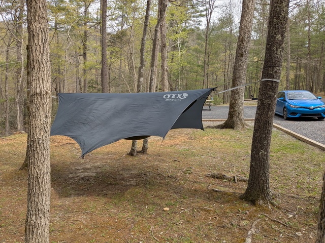
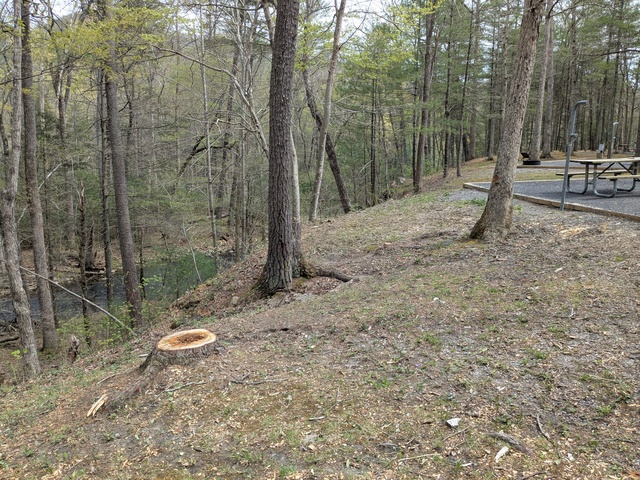
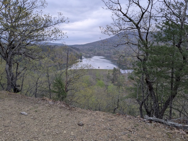
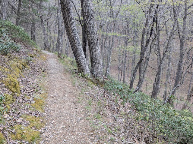
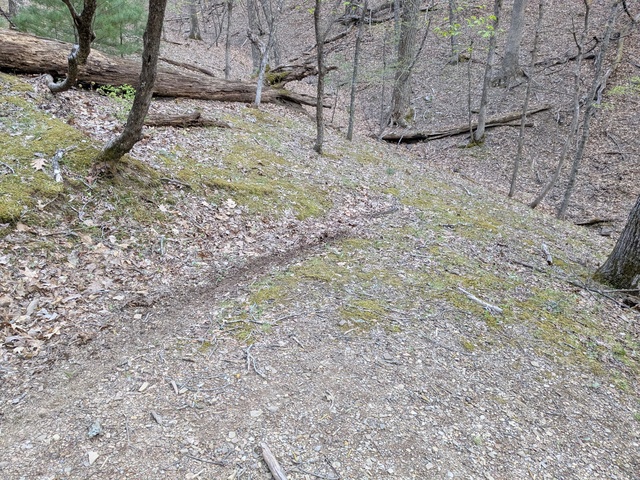
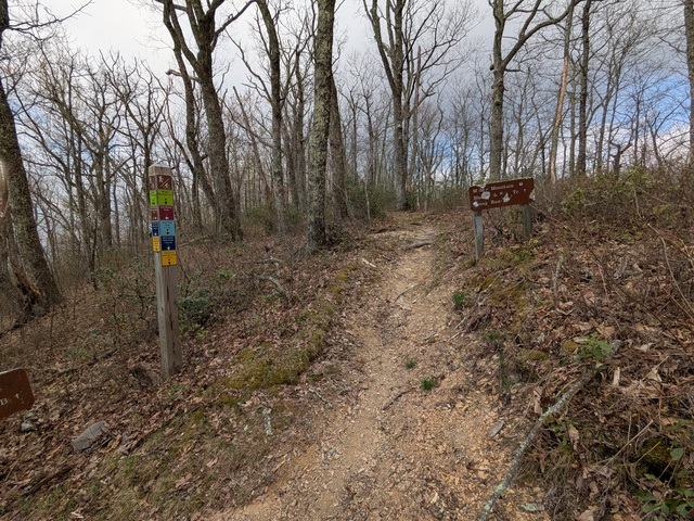
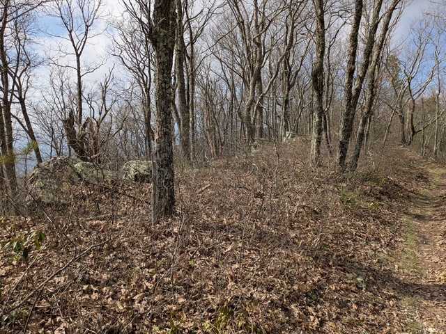
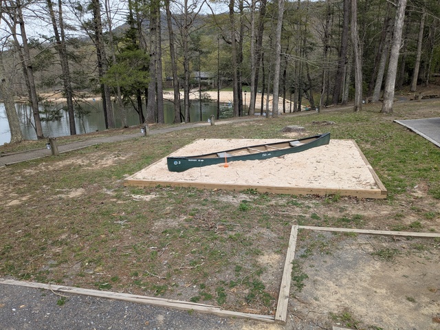
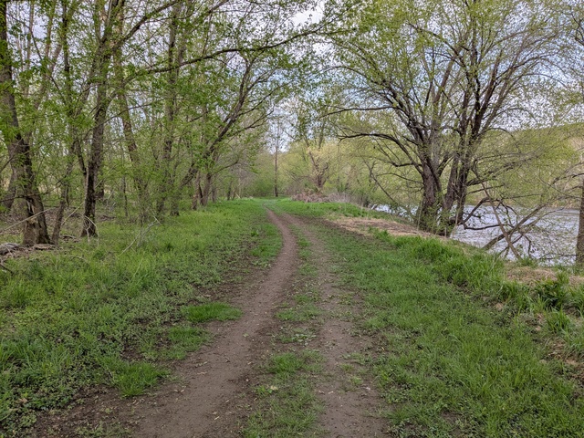
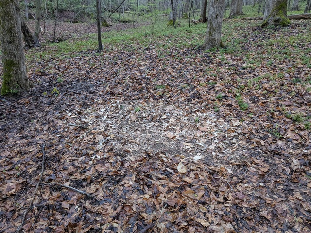
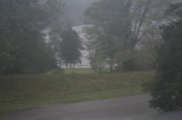
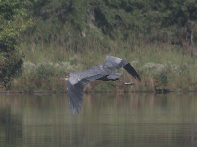
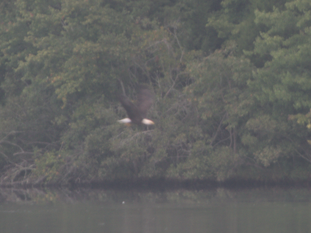
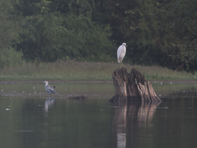
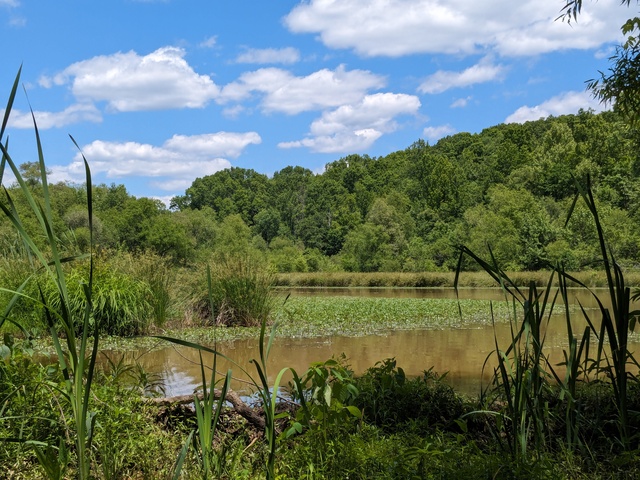
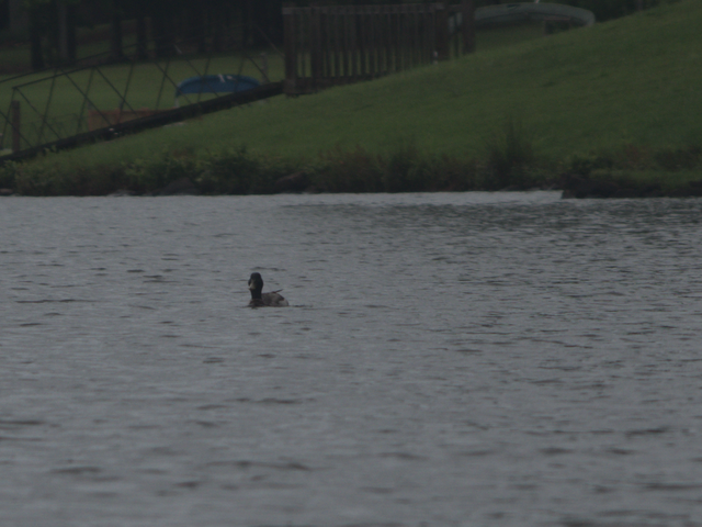
I ventured forth from my home range in upstate South Carolina, USA and headed to Lake Anna State Park, Virginia. The day started out kinda misty/foggy, and the fog got almost thick enough to affect travel at times, but the impact was minimal and I just had some on-and-off light rain on this leg. I planned a day off from driving at Lake Anna to spend in the woods, which you can read about here. That route was mostly Interstate highways for a little over half, then US highways. Interstates are good for getting there quickly, but the US highways are, IMHO, an easier drive. You get a break from “highway driving” occasionally at intersections and towns, and there was a long stretch of US-360 that was divided 4-lane through very rural areas with little traffic. The disadvantage of roads like that is there’s not a lot of places to stop: you won’t find a Love’s, QT, or Bucky’s at every interchange. At one point I was starting to get just a bit concerned about my fuel status and wondered if I should ask Google where the nearest gas station was, but I spotted one before it got to that point.

Speaking of fuel, have a good idea of your range and how far you’re going. I was able to do most of my legs and refuel towards the end, leaving me in good shape for the next leg. I use one trip odometer to track miles-since-fueling, which combined with the “miles to go” on the navigation app let me manage the fuel stops. Of course, fuel stops are also restroom stops, but don’t think you can’t stop until you need fuel. Take advantage of rest areas every hour or two and just stretch out, have a snack, get some fresh air.

After Lake Anna, my next and most challenging destination was Arlington National Cemetery. When I was there last year for our ceremony, I remarked when I got to the hotel front desk “I don’t want to sound like I’m some yokel from rural South Carolina who doesn’t know how to do things in the big city, but I am a yokel from rural South Carolina who has no clue how to do things in the big city”. I planned a route that would let me dart in to Arlington from the west, avoiding Washington DC and all that, and then dart back out to the west. Getting in there went pretty well, and I found the Columbarium with no problem.

Getting out was a different matter. I couldn’t make the turn I needed to because of traffic, and Google rerouted me, yeah, up towards Baltimore and I-95. Alright, let’s go.

There’s something I learned on that leg. I know in that part of the world toll roads, bridges, tunnels, and whatnot are a lot more prevalent than in my home range, so when Google told me to take the exit for I-895 (note to the highway planners: you’re about to run out of “95’s”) and I saw the toll warnings and “no exit before toll” I wasn’t concerned, I had cash at hand. It wasn’t until I was on the exit ramp and turning off I-695 that I saw a little note on the exit ramp sign: “NO CASH”. WHAT?? How am I supposed to pay this toll? It was far too late at that point to abort the exit without doing something that would have probably closed the highway for hours, so shrug. Apparently all the toll collection these days is automated and a transponder or car tag bills the toll to your online account (which I didn’t have at that point).

Having gotten through that toll tunnel, I got off the highway and re-planned the route to get me away from I-95. From there it was mostly US and state highways up into Pennsylvania, and I got to my destination about an hour later than originally envisioned. Fortunately, my planning was conservative (see above) and I still had a good bit of daylight left over.

I spent a non-driving day with some family in Pennsylvania. While there I got online and created myself some “pay-by-plate” toll accounts for the states I had already run tolls in or expected to encounter going further north. I’m told that they’ll just send me a bill, which is fine, as long as it doesn’t include a ticket. My research showed that there’s just no place to cross the Hudson River without paying a toll unless you go all the way up to Albany, which would have added at least 2 hours to my ETE to Massachusetts. With accounts created, I considered that a solved issue.

Next was a short leg (just 5 hours) to Massachusetts. This is the area where I did a lot of growing up and fledged back in the 1970s before taking a job in South Carolina in 1980. I’d been back a few times in the early 1980s, but hadn’t been there in some 40 years.

I used to work for Digital Equipment Corporation at “The Mill” (as we called it, the complex used to be a woolen mill back in civil war times). Back then, in Digital’s heyday, this parking lot would have been full.

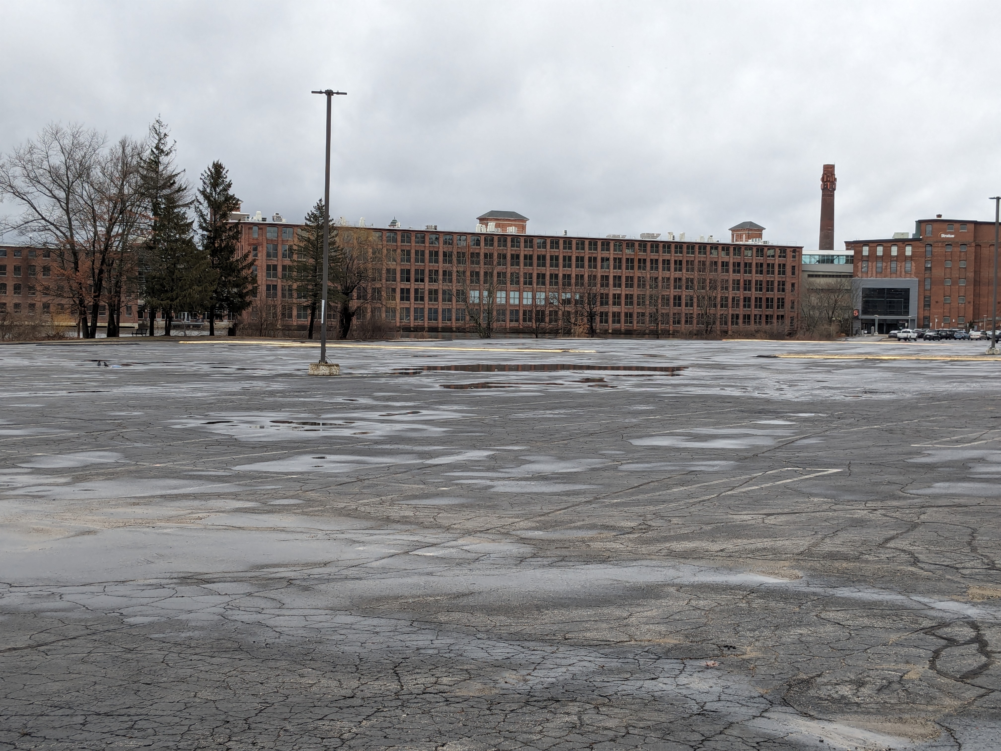
Digital is long gone now, having been bought by Compaq, then by HP, and spun off into HPE. The running joke is that no one would have thought that Digital, at one time the 2nd largest computer company in the world, would get bought by a PC company, which would then get bought by a printer company. I wandered around the town a bit, which seems to have recovered from Digital’s demise, and got a pizza that still tasted like it did back in the 1970s.

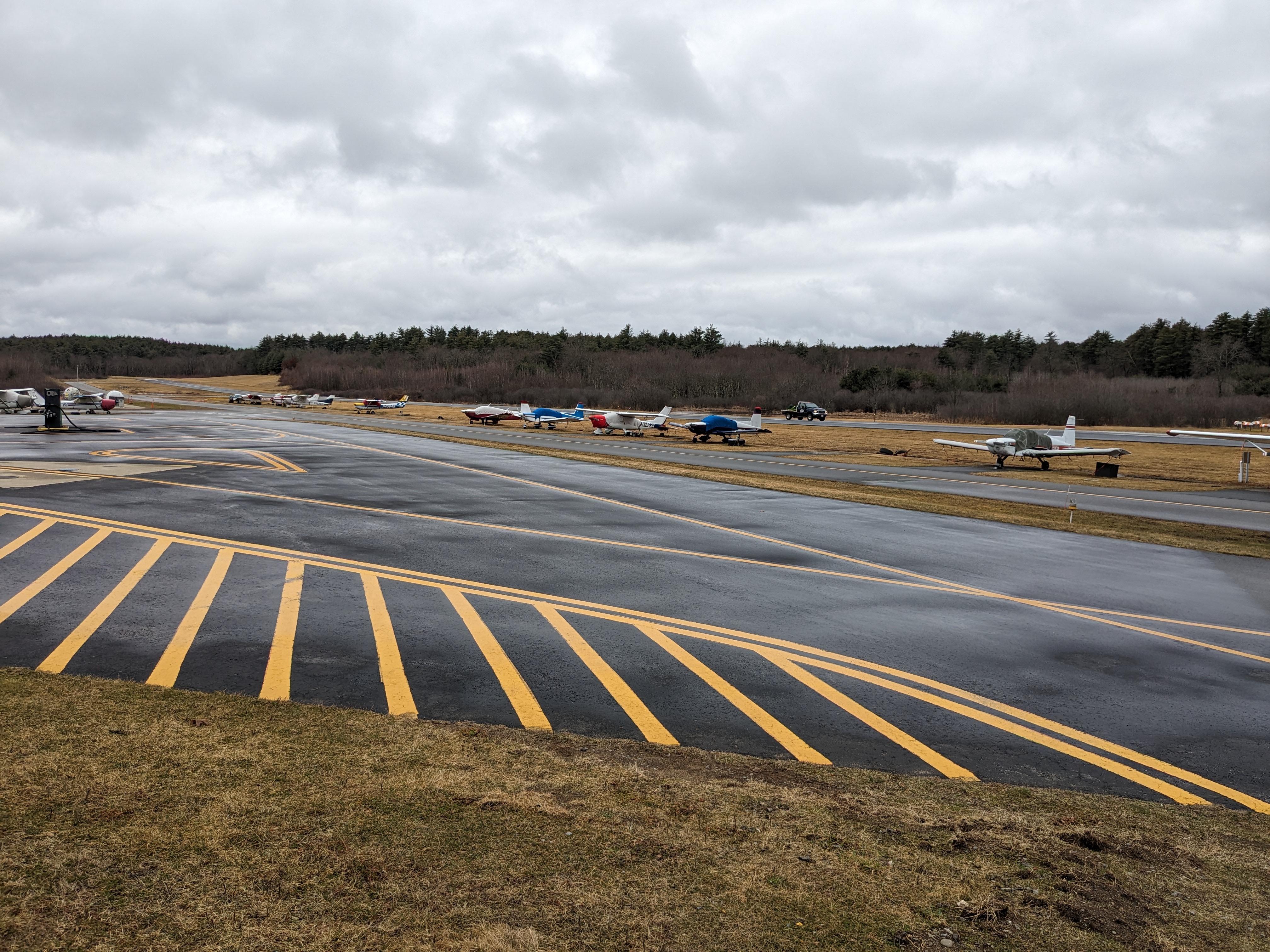
I visited Minuteman Field, where I learned to fly/fledged. Of course, there’s more gates and fences these days, but the field is basically the same and seemed to be doing well.

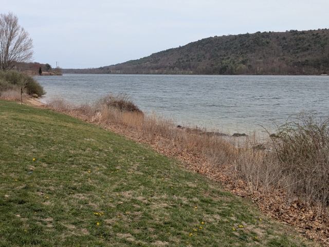
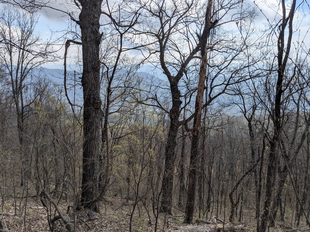
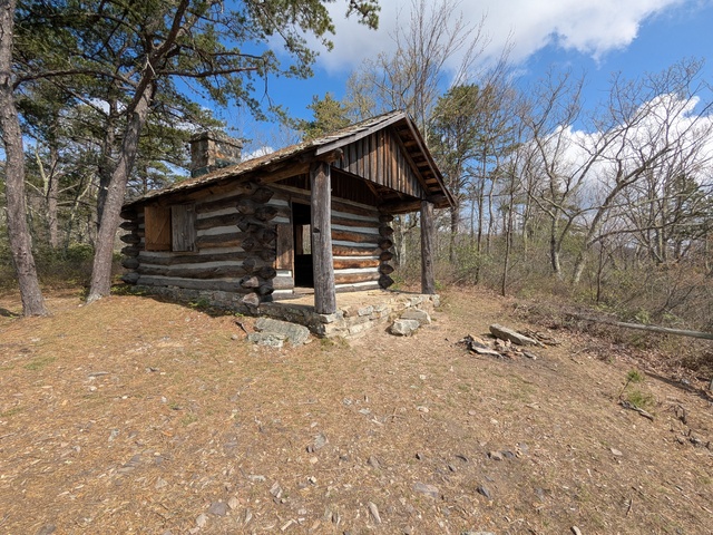
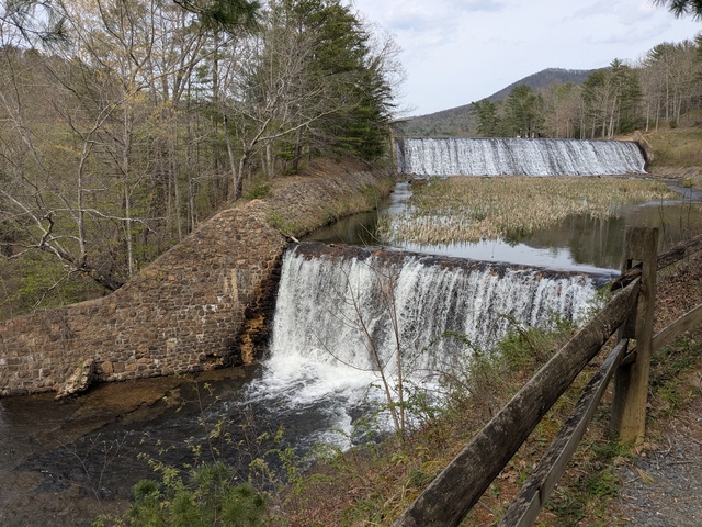
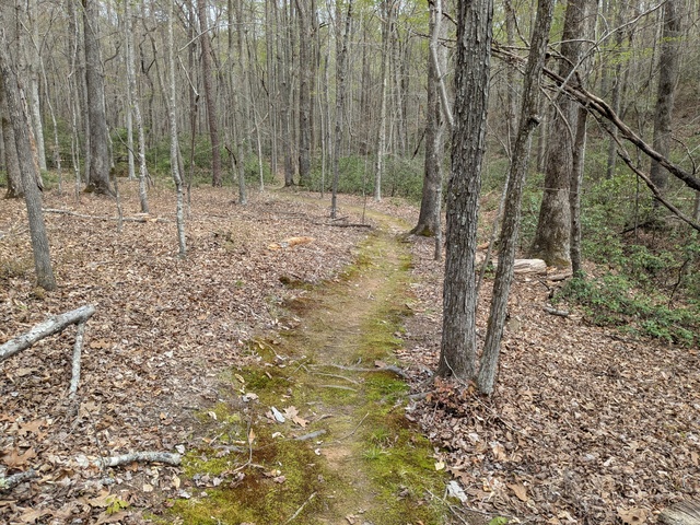
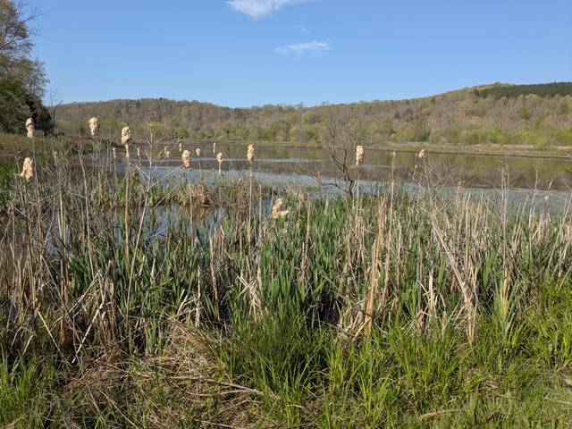
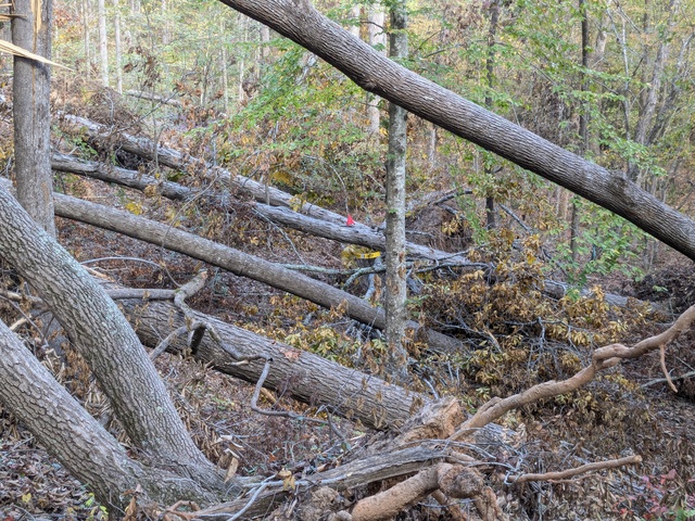
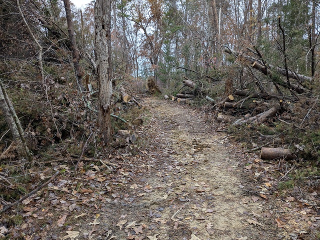
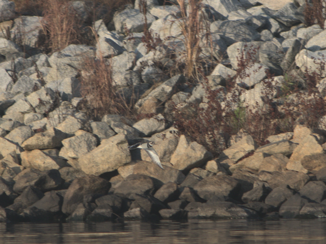
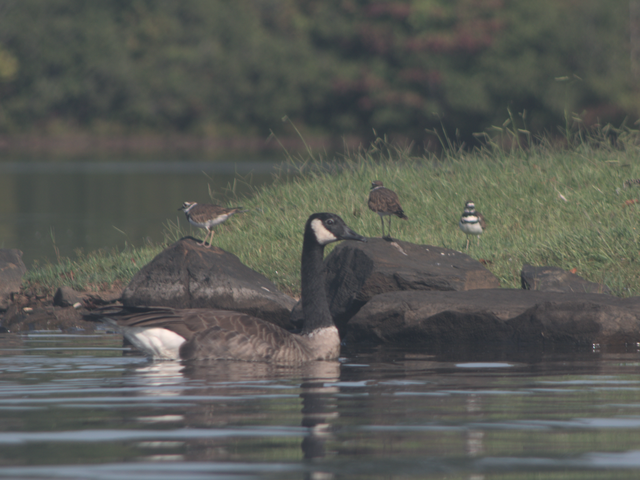
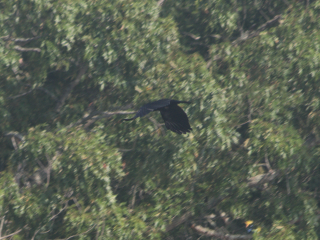
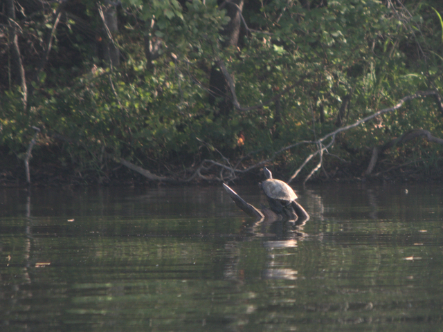
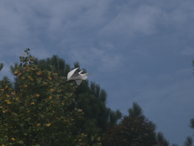
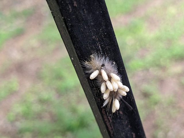
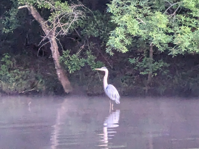
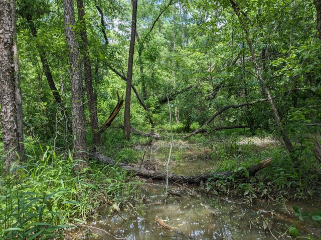
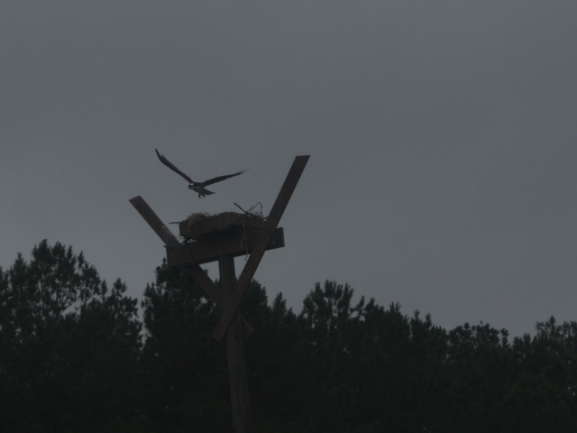
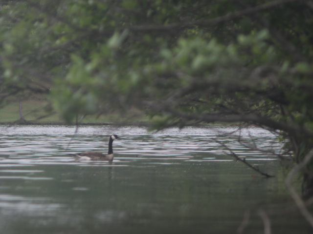
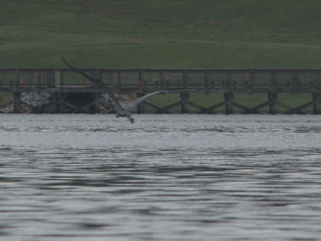
My non-driving day involved a hike with that old friend at the Assabet River National Wildlife Refuge. That area had been used by the US Army until 2000, when it was turned over to the US Fish & Wildlife Service.

Then it was back to Pennsylvania, where I had planned three non-driving days to spend with more family. Did some walking around the neighborhood and the woods behind the house, including one walk in a bit of a snow squall. That was the only snow I encountered on the whole trip, in spite of a chance of snow on the way south from Massachusetts.

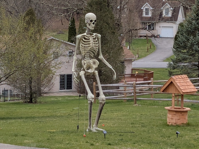
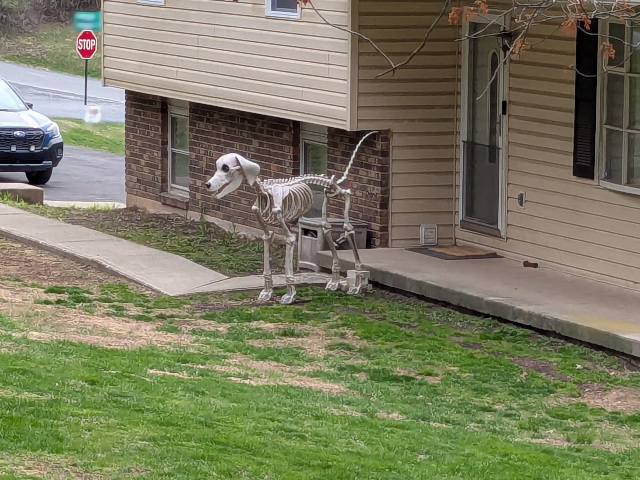
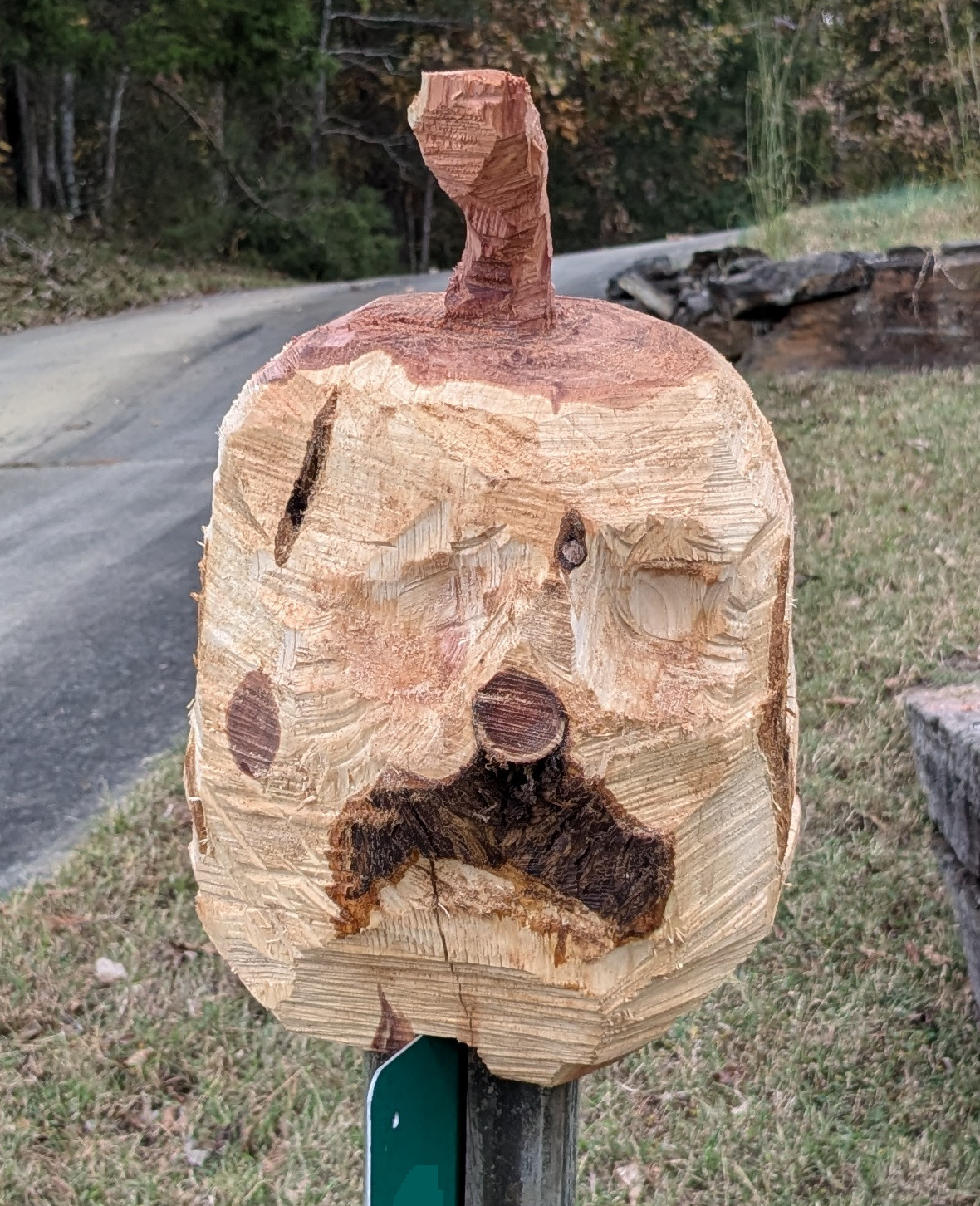
While there, I noted some things that you just don’t see in my home range, like this lawn appliance:

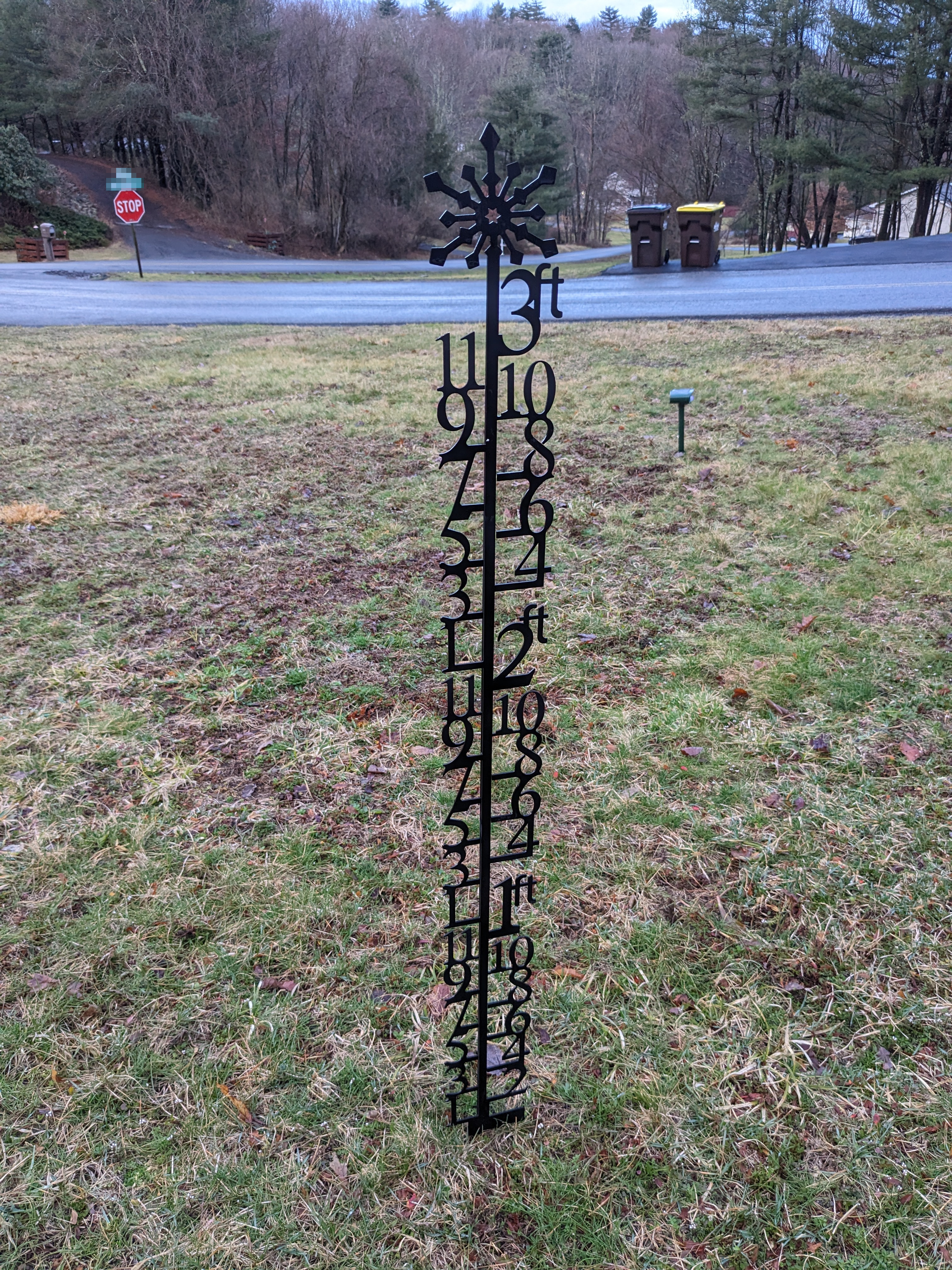
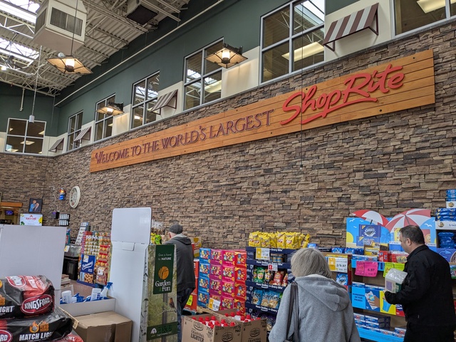
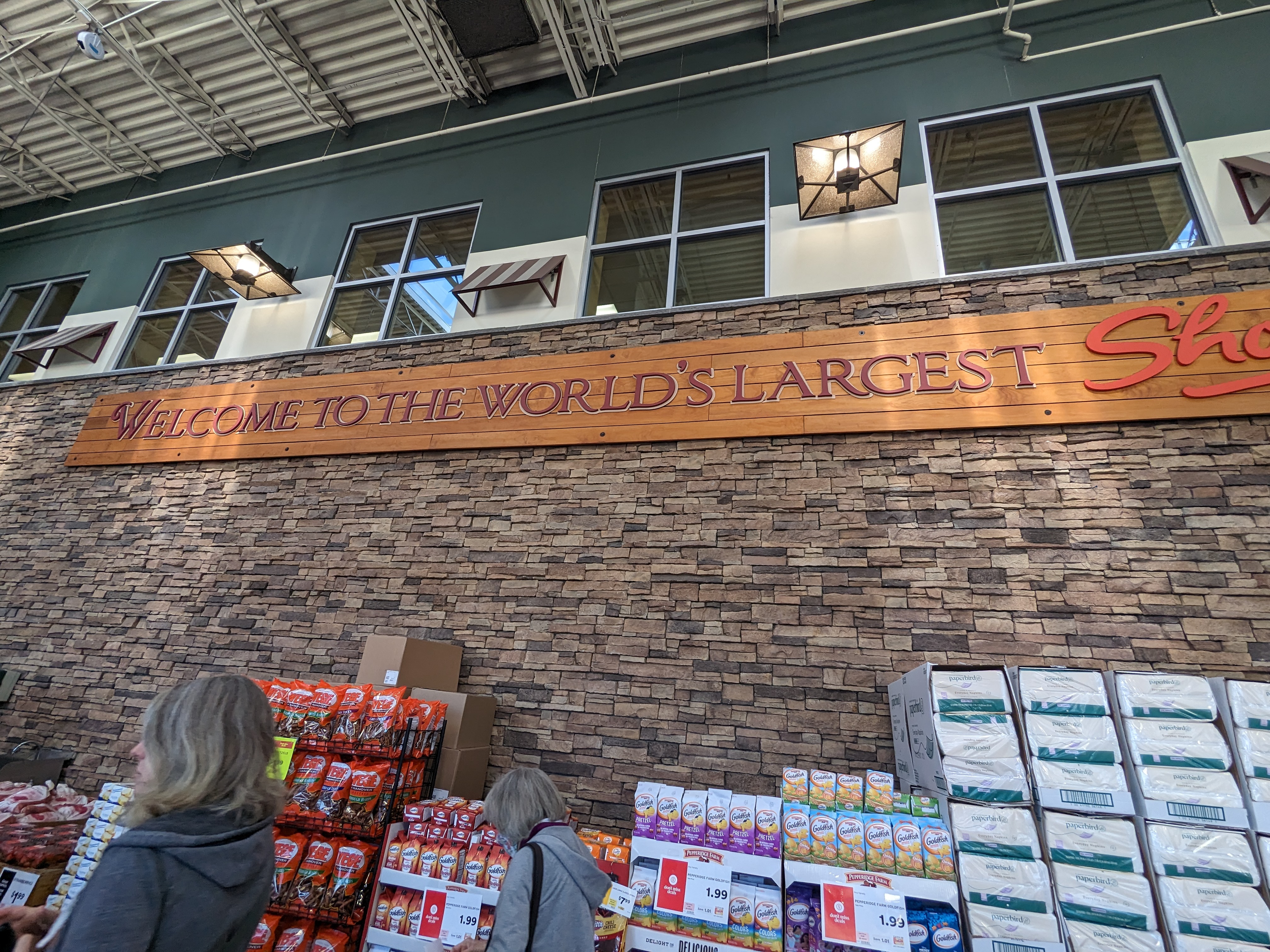
It took me a while to figure out that this is to show the snow depth. I also got to visit the world’s largest Shop-Rite supermarket:

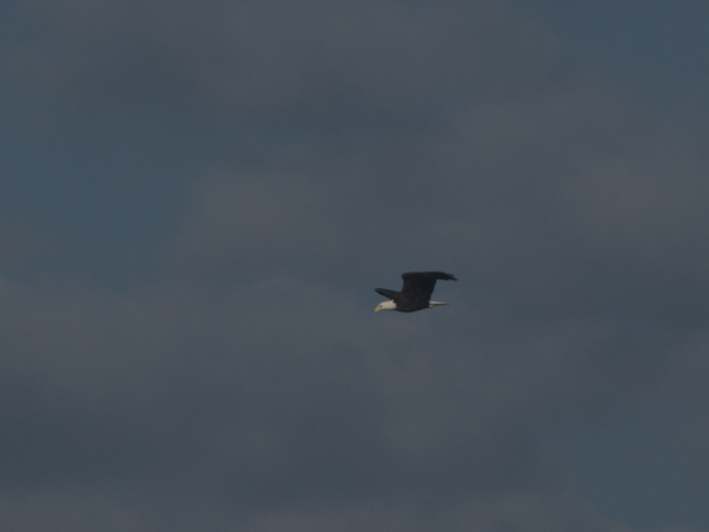
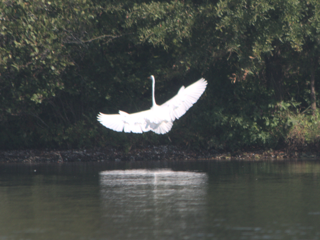
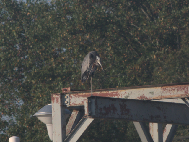
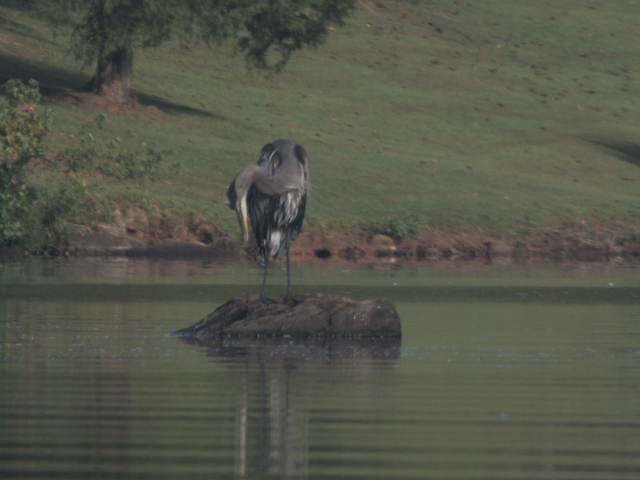
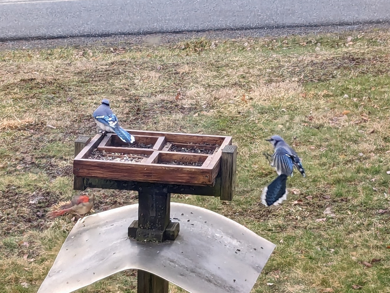
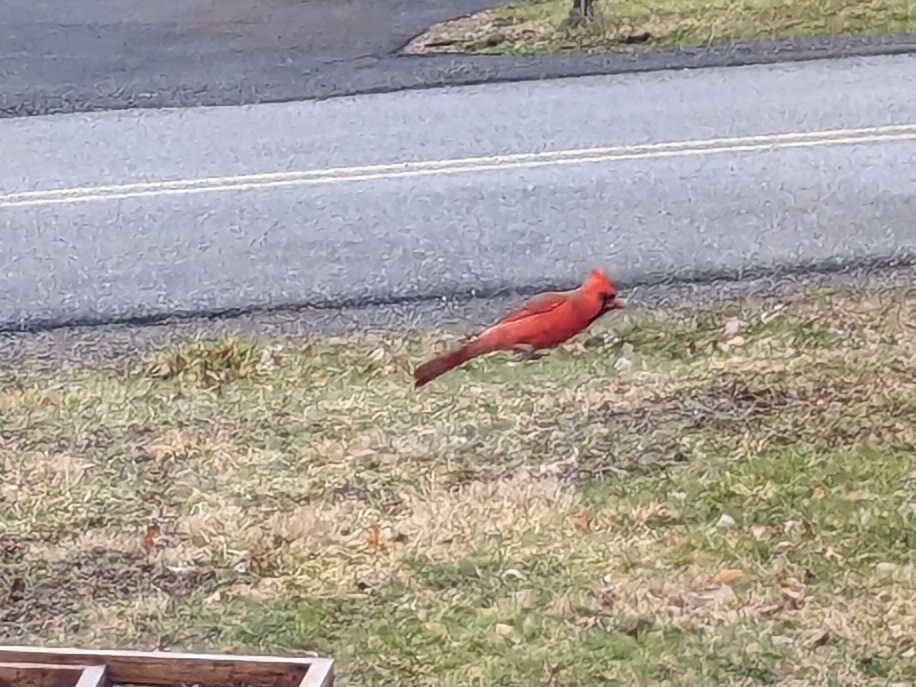
My Sister keeps a well-provisioned bird feeder, which provided some photography opportunities:

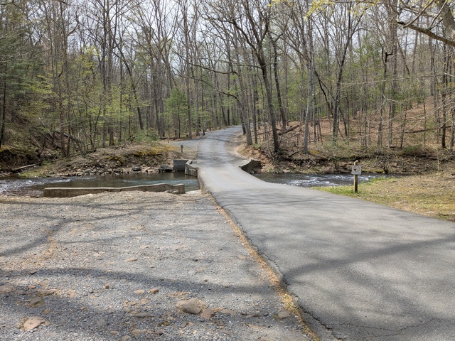
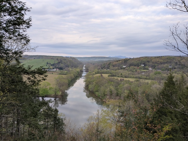
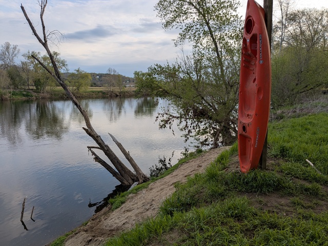
While there, the weather forecast for my next stop, Powhatan State Park, VA, began to gel. Before I left, I looked at what forecasts were available (a forecast almost two weeks out is pretty much in tea-leaves territory) and climatological data and decided: Virginia in early March? I don’t need to bring shorts. Wrong. By the time I was headed that way the forecast for my hike day was 78F degrees. Remember how I said there’d be no shortage of big-box retailers along the way? A stop in Culpepper, VA resolved the shorts issue as well as doubled as a fuel stop.

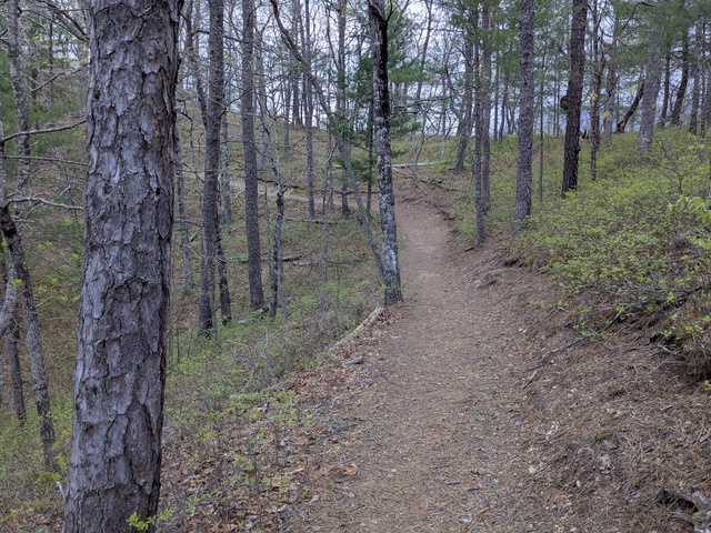
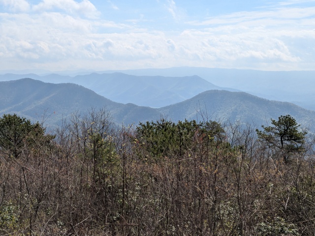
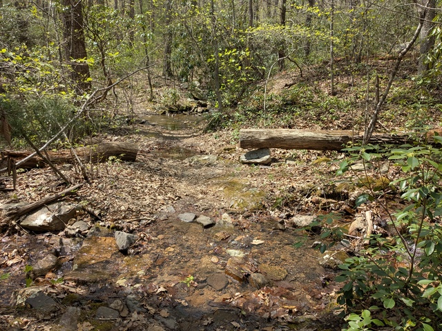
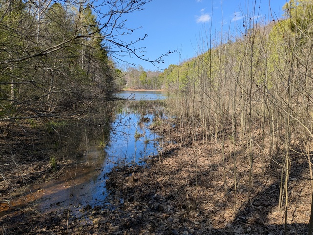
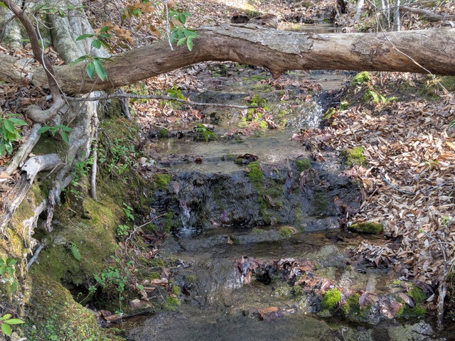
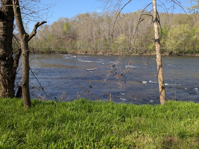
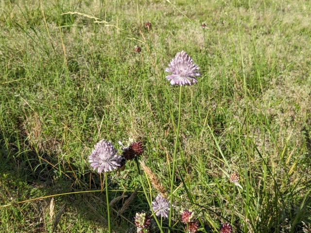
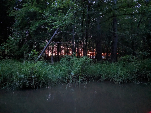
The hike day at Powhatan was almost perfect, just a bit chilly starting out.

Finally, it was time for the last leg and homeward bound. More US highways, then onto I-85 in North Carolina. It was about half-way down through NC that I encountered the worst weather of the whole trip when I ran into a big area of moderate to heavy rain. For a while it was heavy enough that the windshield wipers were just keeping up with it. Keeping pace with highway speeds in those conditions wasn’t much fun, but I knew I was going to be on I-85 for quite a while so I just picked the next-to-right lane (to avoid exiting and entering traffic and exit-only lanes) and followed the vehicle in front of me. Coming out of Charlotte traffic slowed way down, almost to a crawl at times, which was actually a bit of a relief. Traffic kept moving and eventually resumed normal speed as we came out of the rain.

Arriving at home, I found everything in order, just as I left it. I padded my mail hold a bit so I didn’t have to worry about that for a couple days. My main priorities were a) getting a grocery pick-up order placed for the following morning, and b) unloading the car so I could pick up those groceries. Refilled the bird feeders, took a walk around the neighborhood to reacquaint myself and see if anything changed.

Reflecting on the trip, I think I can say “mission accomplished”. I hit all my objectives on schedule (having slack in the schedule helps that). Saw new things, learned useful things. I can say with assurance that I’m now “current” on highway driving (pilots will recognize that phraseology). Everything worked out very close to plan. A flip of the crest to my co-workers who kept everything going and didn’t feel a need to call me. I think alternating the driving and hiking (or whatever) days was a good strategy to avoid getting too “road weary”.

I probably will do this again at some point, it was a pleasure seeing those distant friends and family members in 3D for a change and not in a Zoom window. I would like to take more time and make more stops along the way, but as long as I’m working, I think two weeks is about the most I can reasonably “PTO”, so the basic itinerary would be the same. One thing I will change: I love and miss my parents, but I think I’m going to skip Arlington next time. I’m a woodland creature, not a city bird.

The biggest take-away to me is that I can do this, and I now have some experience, which is always useful. And I now have one of those E-Z Pass toll transponders.

Some statistics:
Statute miles driven: 2084
Fuel used: 55.229 gallons
Most expensive gas: 3.699/gal, Lancaster PA
Cheapest gas: 3.089/gal, Laurens, SC
States traversed: 9: SC NC VA MD WV PA NY CT MA
Statute miles hiked or walked: 51 (that I recorded)
Unread work Emails upon return: 5781