Hi there!

Welcome to my view of the world, as seen with my own eyes, or my camera, around the lake, from the sky, in my mind’s eye, or, occasionally, in the media.

You’re welcome to share what you find here, as long as you give me an attribution or link back here.

I try to post something about once per week. Now, on with the show…

Road trip, 2026

Spring is when a lot of birds decide to get on the move. Some say that’s just instinct at work, but I doubt that. In some species, particularly Blue Jays, a given individual might decide to migrate north, or south, or both one year and do something different the next year, like just go north, or go south and stay there, or not go anywhere at all. That seems to indicate something more than just instinct in play.

I’m no exception, although I seem to be making a habit of a trip north in the spring. But my human side keeps causing me to come back (that’s probably instinct) and return to work, bills, taxes, HOAs, and whatnot.

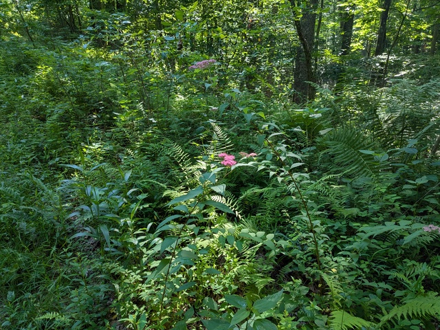
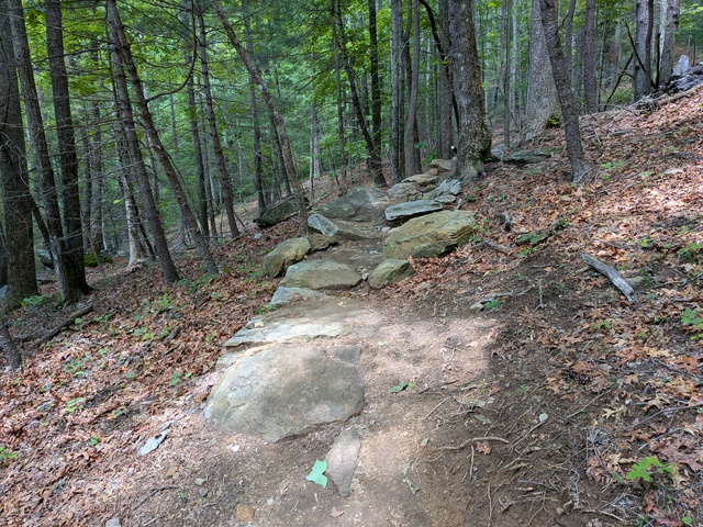
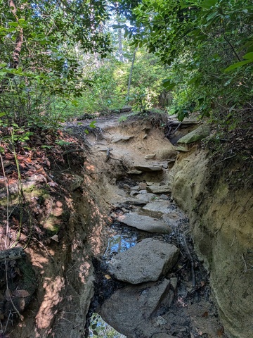
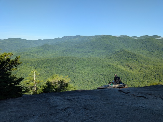
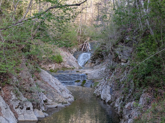
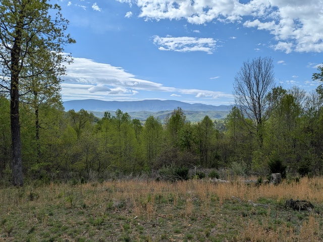
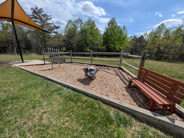
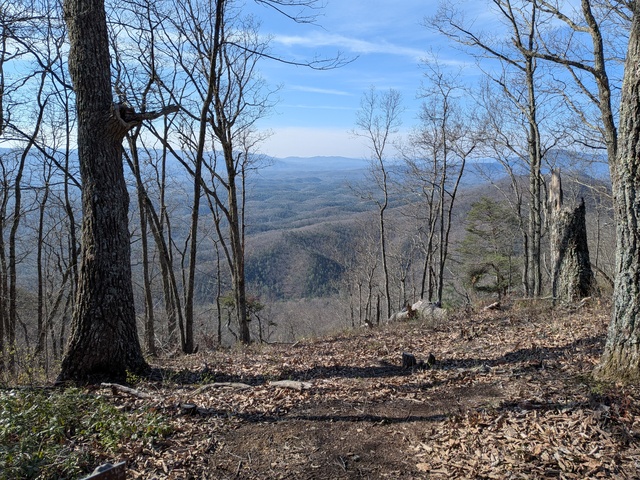
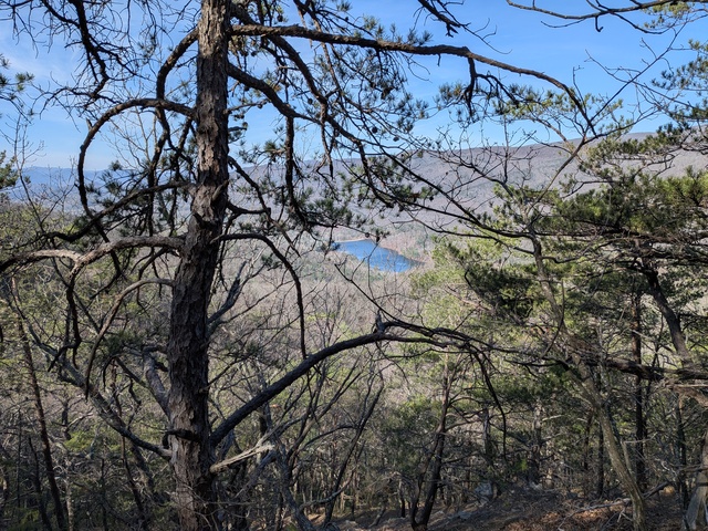
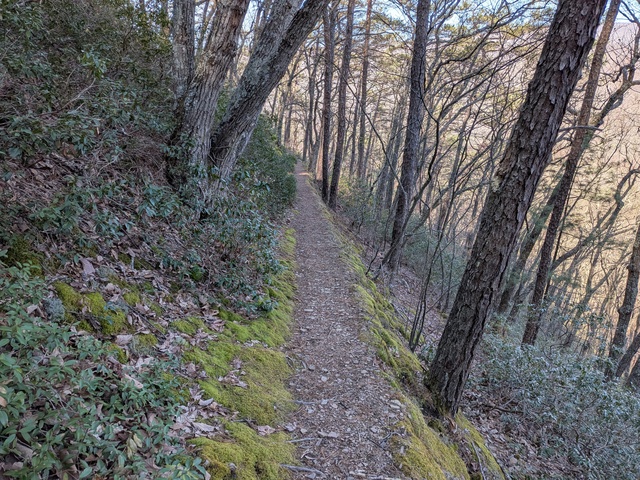
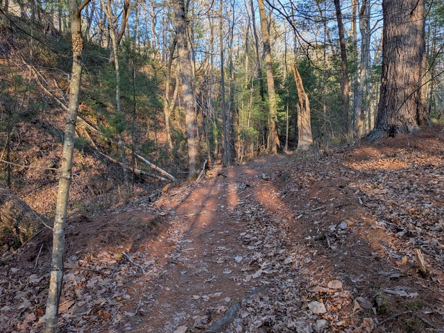
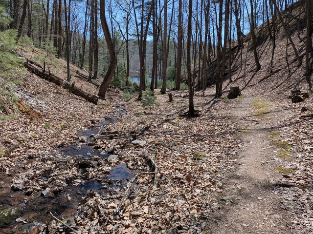
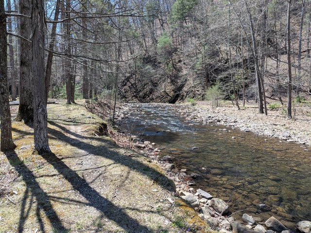
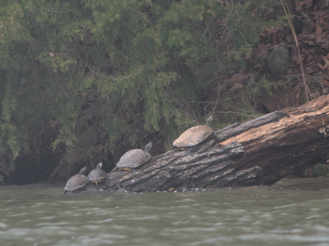
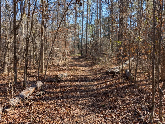
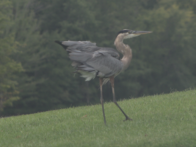
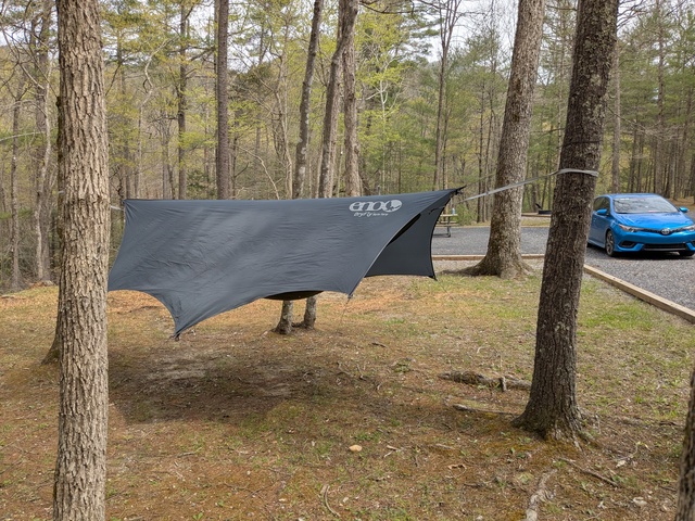
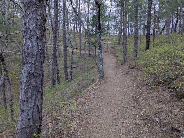
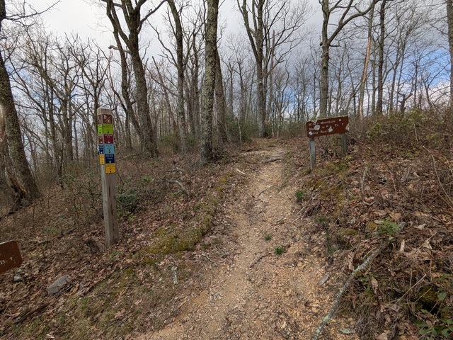
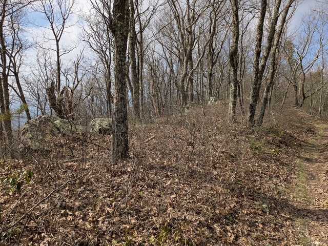
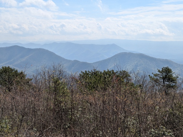
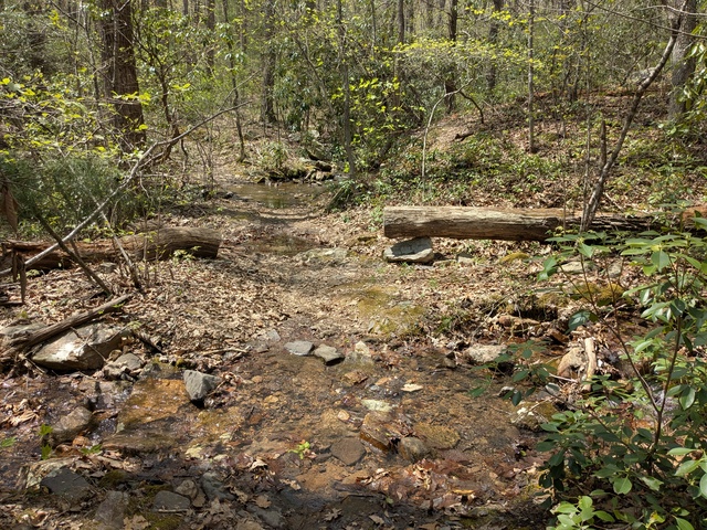
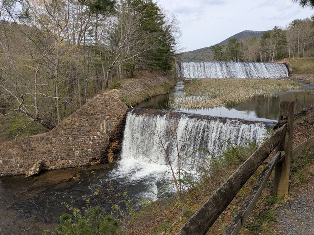
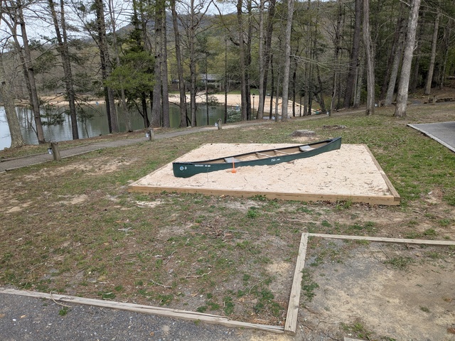
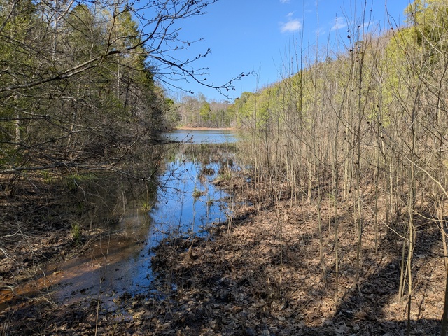
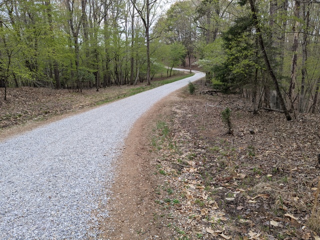
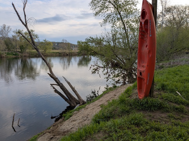
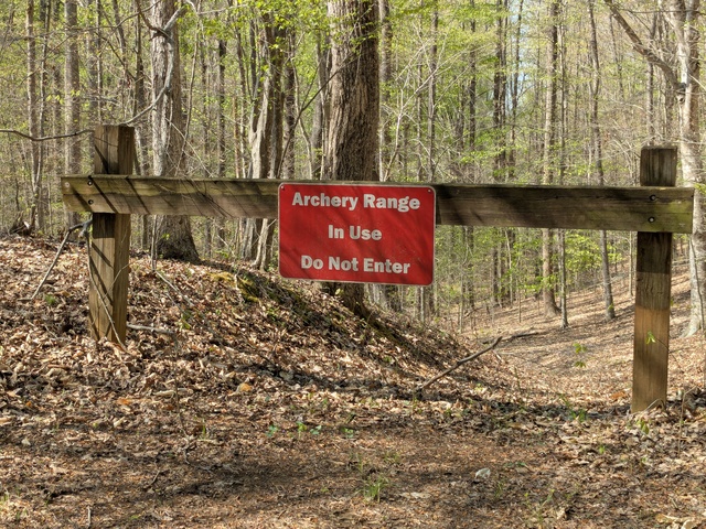
This year I set out for Douthat State Park, VA for an intermediate stop. You can read all about that here. I stopped there last year and I think Douthat will become a regular stopover point for this bird.

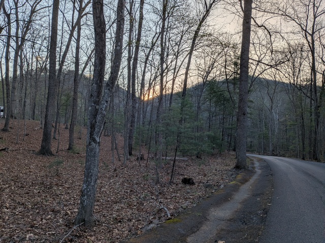
I’m not sure if there’s something about North Carolina, but it seems that on every trip, either coming or going, I’m going to run into rain issues there. This time there were intermittent rain showers “going”. That probably had something to do with the tractor-trailer parked across all three travel lanes on I-85 just before getting into North Carolina. Everyone had to squeeze by on the shoulder lane. Once in NC there was one area of heavy rain, and then another towards the northern end of the state on I-77. I was thinking that the clouds were looking really dark and heavy, but looked lighter ahead. Then I remembered all the times I saw really dark clouds that lightened up just before the deluge. That’s exactly what I ran into there: the skies opened up and drained out in a literally blinding rain storm. It was all I could do to track my lane and avoid running up on the semi-tractor (no trailer) in front of me. You know those little tail lights those tractors have between the wheels? Completely inadequate in those conditions. Pulling over wasn’t a good option either because if someone was already on the shoulder I wouldn’t be able to see them in time. Once clear of that, the rest of the way to Douthat was unremarkable.

From Douthat, I continued northward to visit geographically-distant family in northeastern Pennsylvania. I was looking to make a fuel stop when Google chimed in and said there was a wreck ahead with an 11 minute delay. I figured then that would be a good time to make that fuel stop. After I got back underway, about 20 miles up I-81 I saw what appeared to be an epic litter pickup in progress and at least one vehicle up on a flatbed. Traffic was moving smoothly, so I didn’t get a chance to look around much. Later, near Harrisburg, there were intermittent bouts of traffic slowing down to a crawl and then speeding up again for no apparent reason.

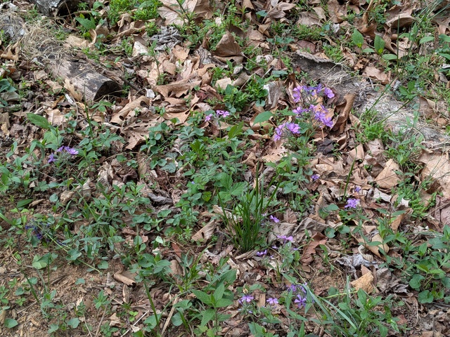
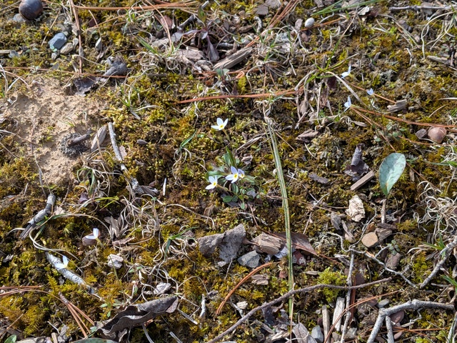
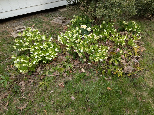
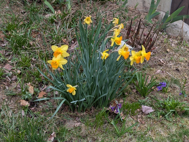
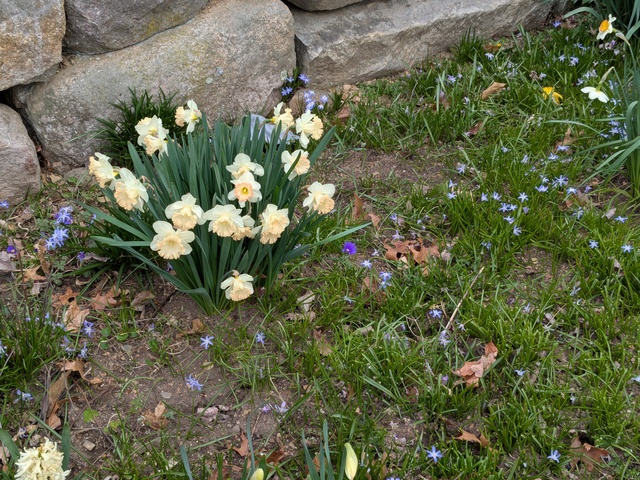
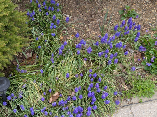
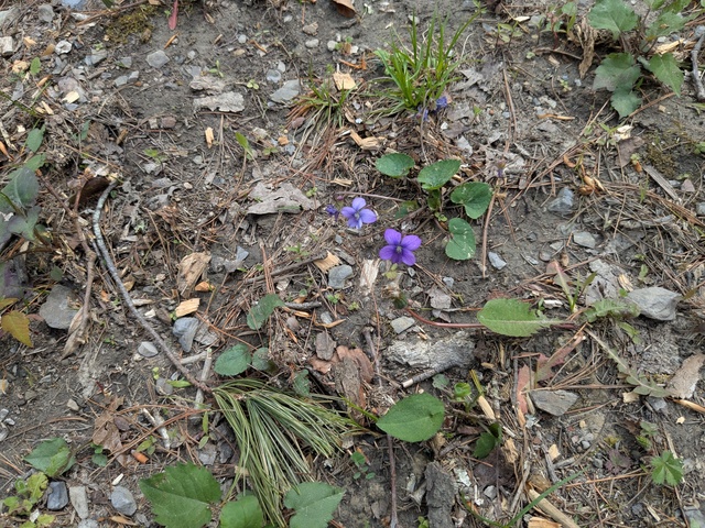
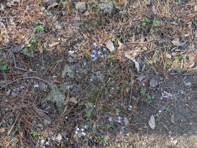
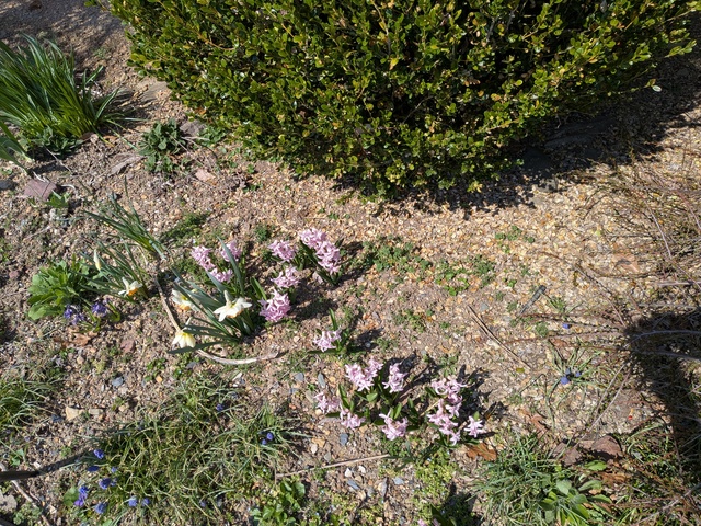
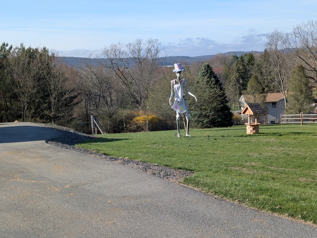
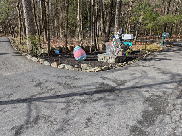
Arriving at my destination, I found my Sister’s yard covered in flowers everywhere to the point where it was almost hard to walk anywhere without stepping on something. She’s an amazing gardener and grows just about anything.
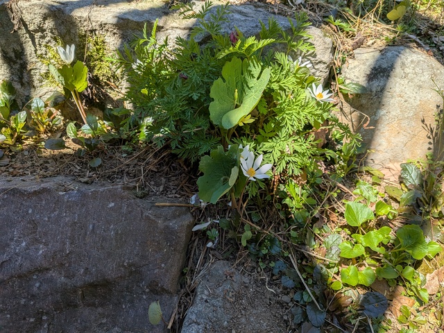
Even in the rocks.

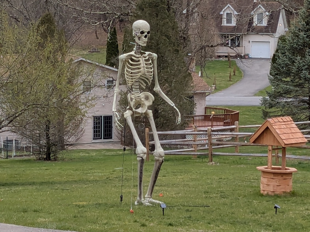
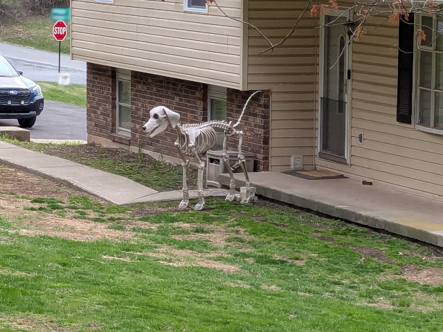
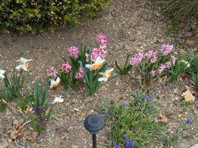
I like that some of her neighbors mix Halloween and Easter. That actually seems kind of appropriate, as Halloween is about death and things macabre, while Easter is about life.


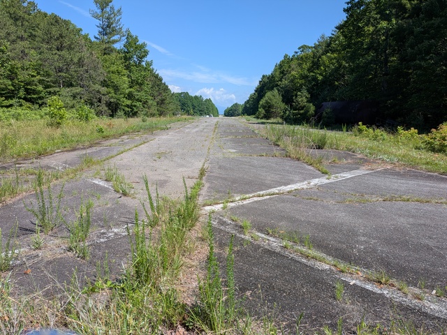
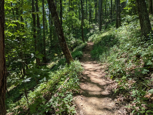
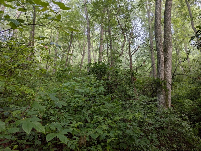
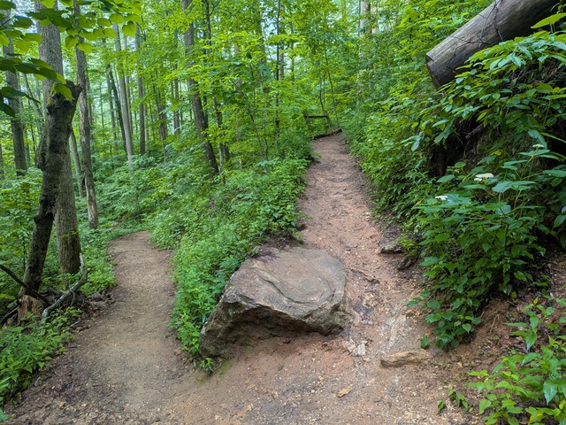
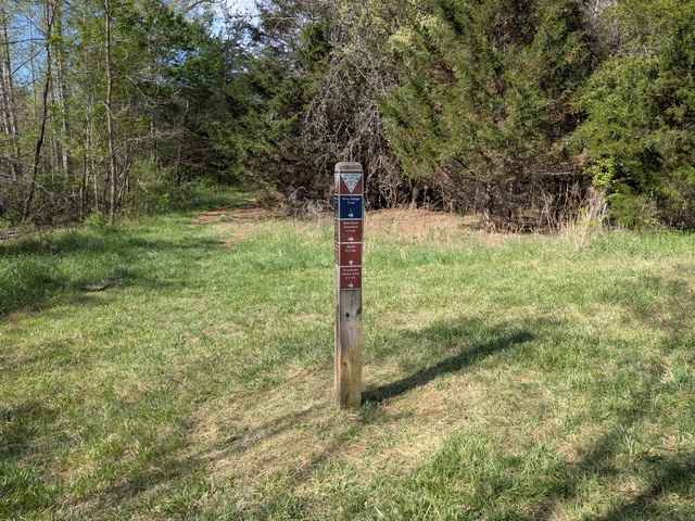
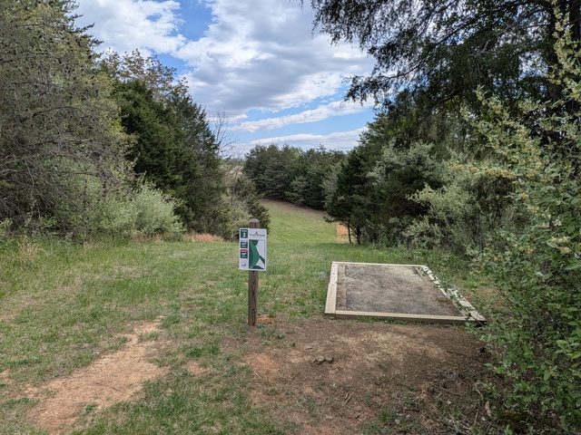
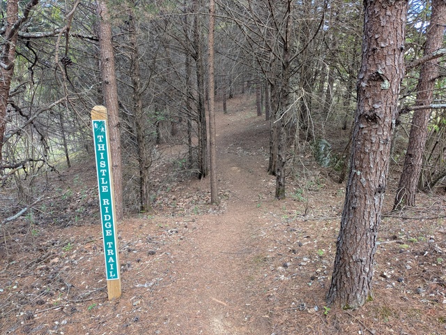
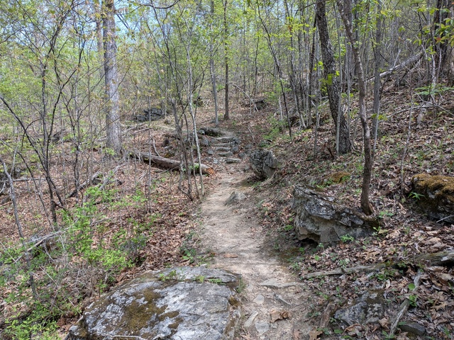
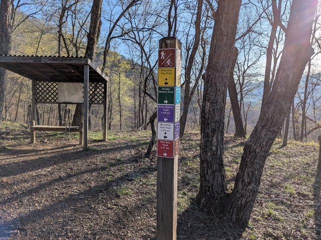
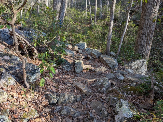
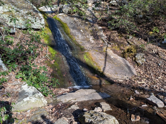
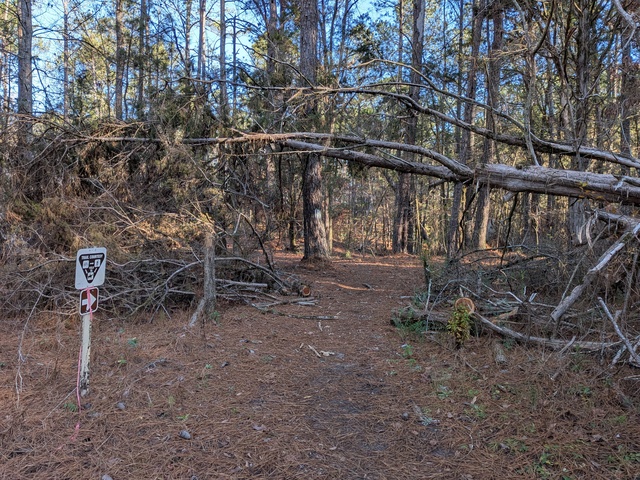
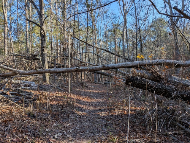
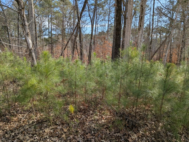
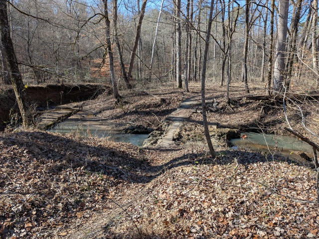
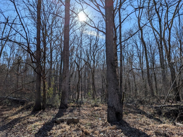
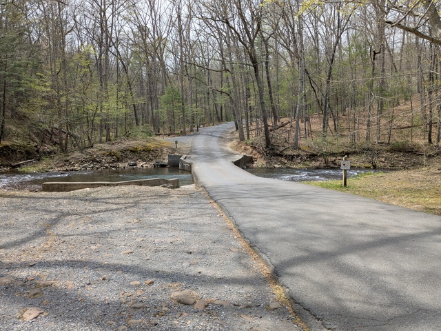
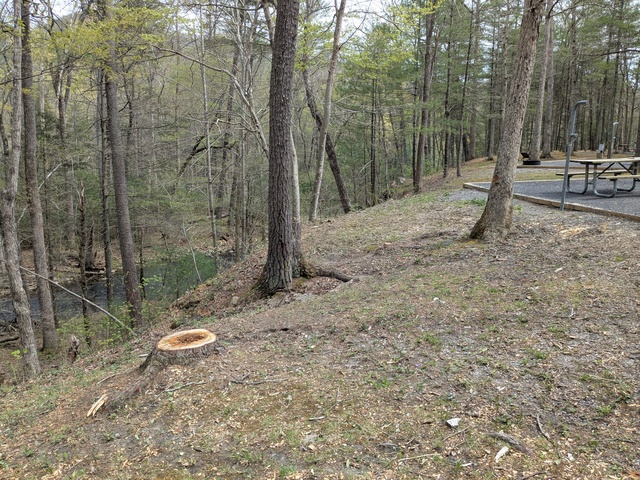
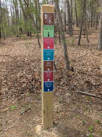
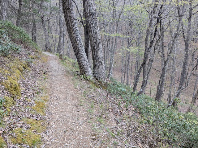
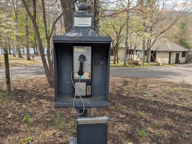
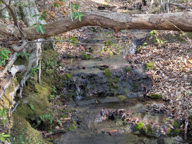
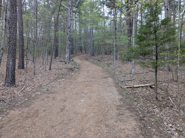
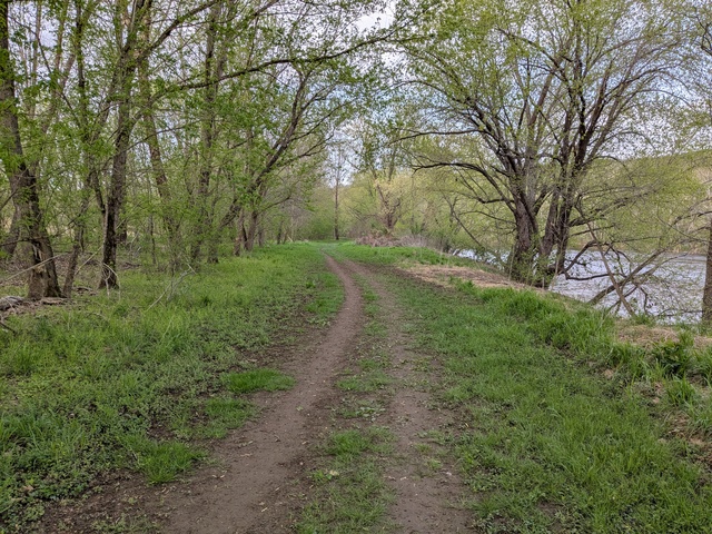
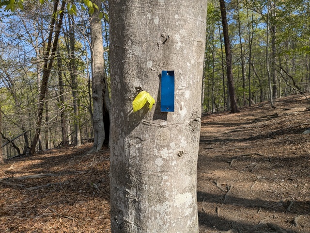
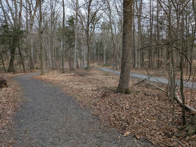
There’s a township park nearby with a little bit of trail. I found a back way to it without having to walk along the busy route 715.

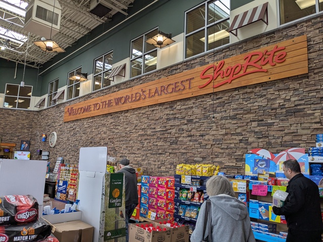
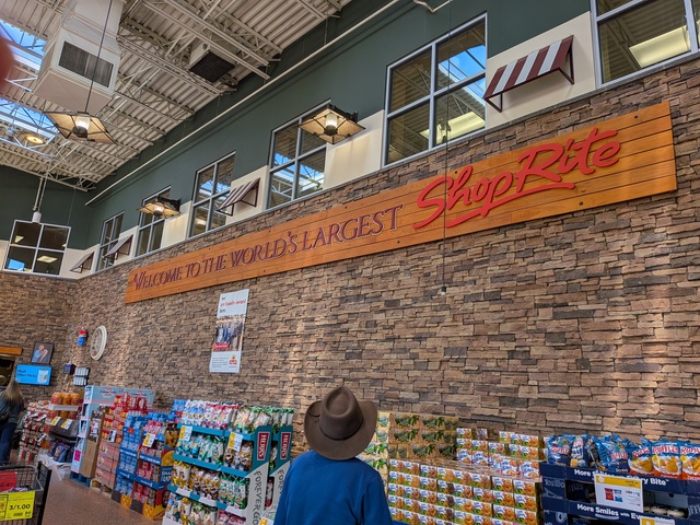
And, of course, what trip could be complete without a visit to The World’s Largest ShopRite Supermarket?

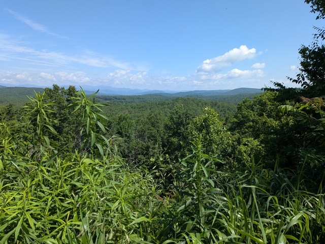
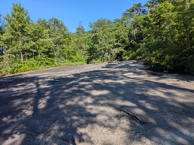
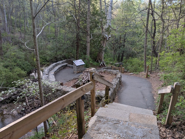
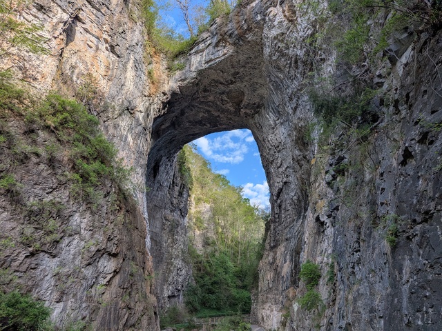
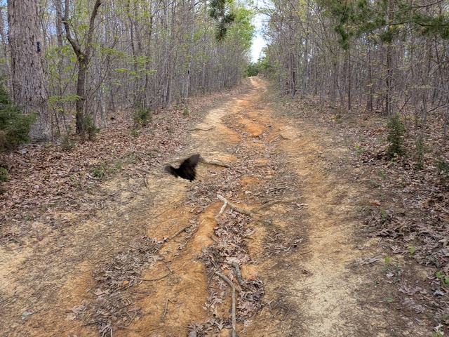
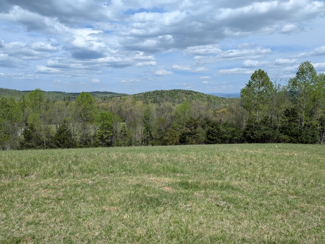
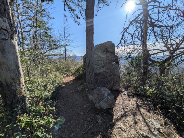
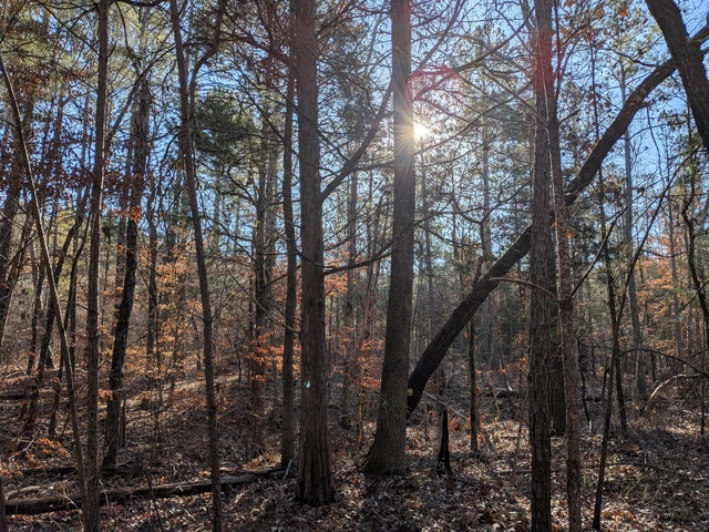
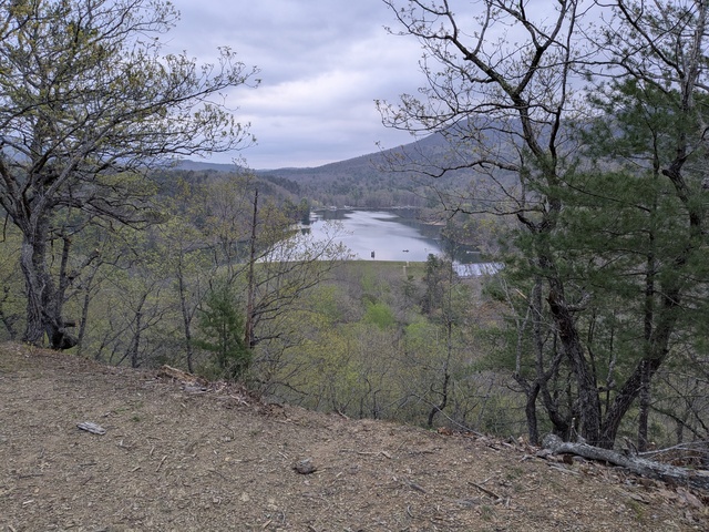
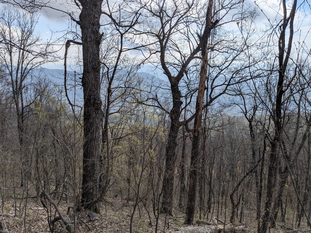
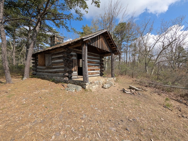
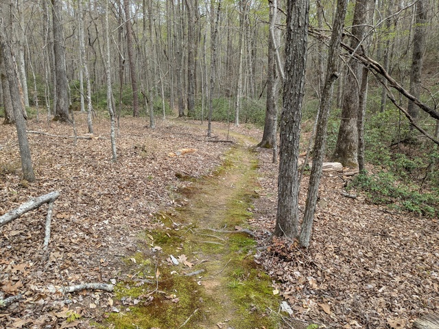
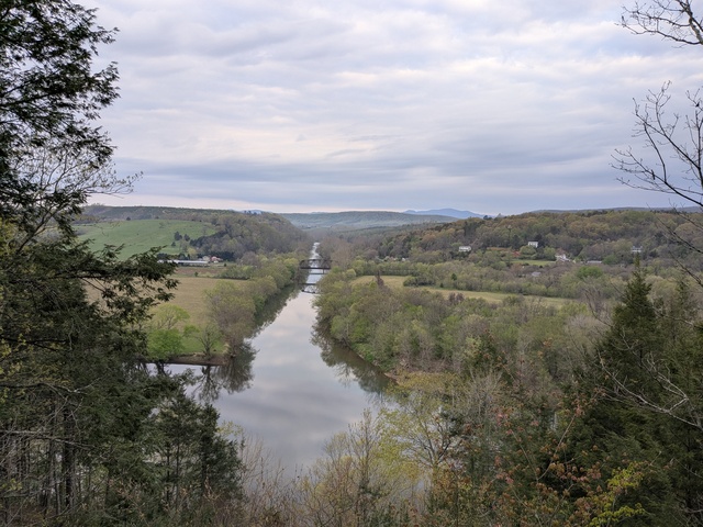
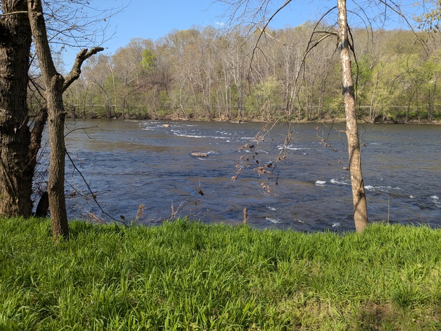
Eventually those human instincts took hold and I headed back south. The first part of that was without incident, except for those mysterious traffic slowdowns along I-81 by Harrisburg. I ended up at Natural Bridge State Park, VA, which again has its separate post here.

And finally, back to my home range in South Carolina. There was one wreck at exit 92 on I-81 in Virginia. A semi trailer was bent and smoking, and oddly, sitting on the ground on the exit ramp. What happened to the wheels? That area isn’t a major trucking hub, so did the driver notice something going wrong and try to exit the highway there? I couldn’t find any news stories about it. Getting around Charlotte involved slow and heavy traffic. It took almost 15 minutes to make the course change from I-485 to I-85. After that, though, it was just busy traffic until it thinned out a bit on I-26.

I’m already thinking ahead to next year’s trip. Douthat State Park, VA will definitely be on the itinerary. I’m not sure of the other stop, maybe Shenandoah River State Park, VA. It’s a bit north of half-way, but I hadn’t been there yet.

The trip by the numbers:
Statute miles driven: 1402.8
Fuel used: 34.704 gallons
Elapsed trip time: 28 hours, 6 minutes
Most expensive gas: $4.299/gal in Kutztown, PA
Cheapest gas: $3.799/gal in Martinsburg, WV
States traversed: 6: SC NC VA WV MD PA
Statute miles hiked or walked: 43.91 (that I recorded)
Unread work Emails upon return: 6,581

It is a bit curious that the cheapest gas wasn’t in SC like usual; SC has really low gas taxes. I suspect that has to do with the prices rising during the trip, making SC look more expensive than earlier purchases to the north.

Natural Bridge, VA

On the way back from that 2026 “epic” road trip that started with a visit to Douthat State Park, VA, I stopped for a day at Natural Bridge State Park, VA. This area felt a bit more commercialized than other state parks I’ve visited, which is just an observation, not a criticism. Still, at that there were some good trails to get out into the woods.

The signature attraction is The Natural Bridge, a rock formation left when an underground river cut away the rock, leaving a bridge. Getting to the bridge required going down (and back up) a lot of steps, 137 according to the park web site.

The path is mostly paved, so you don’t need your hiking shoes. Pretty quickly you come to The Bridge, which from here is more of a “natural underpass”.

It’s actually pretty awesome, I couldn’t help being in awe of that rock overhead.
The trail contines past there and ends at Lace Falls.

I was advised at the extensive visitor center that it was best to drive to the other trails in the park, which I concurred with because getting there involved some stretches of busy highway. So it was off to the Blue Ridge Trail.

Nothing to this point indicated that the hotel had a connection to the trail, had I known I’d have just walked from there.
As at Douthat, flowers were blooming everywhere:

I kept trying to get a picture of the numerous butterflies, but they wouldn’t stay put and a cell phone makes a lousy wildlife camera. I did catch one, sort of:

The trail led up to a ridge with a view:

There is an adjacent Thistle Ridge Trail and disc golf course:

This is one course where you’ll probably want your hiking shoes:

I didn’t try to play the course as I was only there for one day. Many of the goals looked tricky to this novice, and just a little overshoot would have you diving down a hill into the woods (hopefully not head first).
From there is was over to the Buck Hill trail and more up and down:

Finally, I wrapped up the day at the short Skyline Trail. There’s a discovery area at the trailhead:

And, as you might expect from the name, there is a view of the skyline:

This park was a bit of an exception in that I was able to cover all the published trails in one day and then followed up with a late lunch from the Natty B Cafe just up road to the east. The salad and Turkey Reuben sandwich were quite good.

There were very limited camping opportunities here, so I opted to stay at the Natural Bridge Hotel right by the Natural Bridge itself. The accommodations there weren’t as nice as I had at Douthat, but were adequate for the purpose, if a bit expensive compared to a campsite.

Douthat 2026

Once again it was time for my spring “epic” road trip. Last year I stopped along the way to spend a day at Douthat State Park in Virginia. I decided that one day there just wasn’t enough so this year I planned two days to try and take in more of the park.

This narrow bridge leading to the campsites always gives me pause:

As usual the campsite accommodations were excellent. My “room” had a river (or creek) view (watch that first step though):

And there were flowers in the room:

In fact, there were flowers Everywhere! I saw lots of butterflies taking advantage of them.

But I came here to hike, so after a night in my hammock tent, it was off to see some sights.

Again, as usual, I found well-marked trails. Yes, I was heading for the Mountain Top Trail:

And what a supertastical view from the top of that mountain! The picture doesn’t do it justice, it just reminds me of what I saw:

Coming around to the Mountain Side Trail gives a view of Lake Douthat:

Ya know, they always give some very good reasons to stay on the trails when hiking: don’t trample the plants, don’t cause erosion, and you’re Far less likely to get lost if you stick to the trails. Some of the trails here add another reason: if you go off the trail, it could be a long time before you can come to a stop.

When I’ve gone even farther north earlier in the season, I’ve been a bit disappointed at not seeing any snow. This time I found some snow, in a corner of the mountain the trail was following:

After I completed that hike I was sprawled out at the table at my campsite when a Chipping Sparrow came poking around. He went right under the table where I was sitting. I didn’t want to scare him off, so I just aimed the phone blindly to snap this picture of him:

The next morning, let’s do it all again!

This day took me up the Blue Suck Falls Trail (I’ll have to ask how it got that name), which felt a bit like rock climbing in some areas:

And there we have the Blue Suck Falls itself!

Continuing up to the Middle Mountain Trail (which is actually a bit higher than the Mountain Top Trail) again provided some amazing views, including from Lookout Rock:

As they say, what goes up must come down (unless you’re NASA), so down the mountain to the lake:

The lake flows out into Wilson Creek, which is a convenient handrail back to the campsite.

I think Douthat State Park is going to be a regular stopover on my northeast trips from now on. The facilities are excellent (well, the wifi at the park office could be a bit more reliable, but really the point is to disconnect), there’s lots of nature and trails, and there’s no cell phone coverage (I suggest taking a PLB or satellite communicator in case of emergency, and tell the boss to not even bother trying to call).

Creature Feature 2026 #1

Well let’s see if I can do a bit better updating this blog this year. Here’s a little catch-up and some “current events”. With the warm weather we’ve had lately, this morning I decided I’d start getting my money’s worth out of my 2026 Lake Rabon boat permit.

First, here’s just a couple of my favorite places around the lake:

Here’s one from last fall when the Great Egrets were hanging around:

And Mallards:

This was actually in the woods by my house: a couple of cute little (ok, not that little) spiders:

Moving on to this morning, here’s another sign of spring: the Osprey checking out the real estate. I was able to watch these two cavorting around vicinity.

The Canada Geese were getting more spread out now, thinking about things like nests and eggs coming soon. Follow me!

There wasn’t much in the way of sun this morning, but still some turtles were out warming up:

I caught a glimpse of a bird by one of the Wood Duck houses around the lake. Might have been this pair:

A pair of Buffleheads, which might be just stopping over:

The Cormorants are also part-timers around here:


I spotted this Osprey stopping and hovering, then he made a dive.

That fish looked like it had to weigh as much as the bird, and that takes some power to get out of the water and into the air.

Long Cane Winter Solstice 2025

For a number of reasons, it’s been a difficult year for me to get out & about. But I would not be restrained on the day of the Winter Solstice, a special day for all my wild familiars. That it took me almost a week to get this posted is just par for this year.

For this day, I made my way to the Long Cane Horse Trail in Abbeville County, SC, USA. Despite the name, it’s actually a multi-use trail for horses, bikes, and hikers. Concernedly, the web site still says the area is closed due to damage from Helene, but as that was over a year ago, I suspected the accuracy of the web site. Sure enough, there were no signs about any sort of closures and once once on the trail, I saw horse and bike tracks.

The “B” trailhead did show some redesign:

and the initial part of the trail heading to point “C” had a couple places where the overhead clearance was reduced:

But aside from that, the trails all the way to “D” were quite passible.

There were several open areas where the pine trees were taking over:

I’m sure they’ll sort themselves out as they grow, assuming the humans leave them alone.

But the main event was the Winter Solstice, when the sun shines on its most southern point on earth. Curiously, as that moment, 10:03 EST, approached, I started to hear a LOT of bird chatter, almost like a dawn chorus. However, it was way too late in the day for that. At the moment:

After the moment passed, the bird chatter subsided to a more normal level. I didn’t hear anything else like that whole rest of the time I was in the woods, including coming back through that same area. Could be coincidence, but I suspect the birds were observing the Solstice in their own way.

I decided to stop at Gray’s Creek for lunch:

and noted that the sun didn’t get much higher at noon than it was at the Solstice.

I really need to do more of this sort of thing. Birds aren’t meant to be indoors, Blue Jays are forest creatures..

Creature Feature 2025 #1

I’ve had a lot going on lately, so I’ve been slack about posting here. Here’s some catch up from the last few trips out on the lake.

Osprey were out and about. “Where’s the fish?? You were supposed to pick up fish on your way home!”

“Alright, alright, I’ll go back and get the fish!”

A Cormorant enjoying some sun, they’re still around:

Mallards hanging out:

Lest you think it’s all birds out there…

An Heron exercise in camouflage (gotta get in the obligatory Great Blue Heron picture… pictures):

Herons don’t just wade along the shore. They go up in the trees too.

This Heron flew right in front of me to land on the shore:

Gotta get everything secured from the flight configuration, that’s a lot of wing to stow:

Road trip, 2025

If you’ve been watching closely, you’ll note that I’ve been a good bit out of my home range, not unlike what I did last year. I did decide to be a bit less epic this year, and omitted Arlington National Cemetery (while I love and miss my parents, big cities are anathema to me) and Massachusetts (I saw what became of it in the 40 years after I left, I’ll check back in another 40 years πŸ˜‰).

The primary purpose of this trip, like last year’s, was to visit family in Pennsylvania. But that’s just way too long of a drive for one day (for me anyway), so I located a couple of State Parks in Virginia that happened to be almost exactly half-way there. Like before, I scheduled a break from the driving to spend a day hiking in the woods at those State Parks, this time at James River on the way north, and at Douthat on the way back. See those links for details of my stays there.

I kept to what worked last time, early starts, easy schedules, vague ETAs (“I’ll be there late afternoon”), regular breaks (target: every 1.5 hours), and take my time. If someone else on the road is in a much bigger hurry than I am, I let them go ahead. Heck, it’s not like it’s going to do them any good to get there before I do, the campsite reservations are in my name, so they’ll have to wait for me anyway.

Once again, I got to visit the World’s Largest Shop-Rite Supermarket.

The store is said to be 105,000 square feet, and you could spend a day there if you weren’t careful. The store is mostly powered by a 10-acre solar farm adjacent to the store.

While there, we paid a visit to Beltzville State Park, but it was a really windy day and no one in our little group (myself excluded, of course) weren’t too interested in being out there.

Actually, it was pretty windy the whole time I was there, but I’m not claiming responsibility.

But back to the focus of the trip. It seems some of my Sister’s neighbors are following the Sally Forth school of Halloween decorations. If you follow that comic, you’ll know what I’m talking about.


And closer to “home”, my Sister is a Supertastical gardener, and everywhere you look, there are spring flowers blooming.


She’s also a great cook. To earn (or at least return the favor of) my meals, I helped with some of the spring garden prep and planting. I’m looking forward to getting my share of the blueberries 😏.

I’m already thinking about my next trip up north next spring (PTO willing). I think I’ll return to Douthat State Park, VA and hike the other side of it. There’s also Natural Bridge State Park, VA that’s also in a geographically-advantageous location I might check out.

The trip by the numbers:
Statute miles driven: 1413.0
Fuel used: 35.309 gallons
Elapsed trip time: 27 hours, 33 minutes
Most expensive gas: $3.359/gal in Hamburg, PA
Cheapest gas: $2.519/gal in Laurens, SC
States traversed: 6: SC NC VA WV MD PA
Statute miles hiked or walked: 46.4 (that I recorded)
Unread work Emails upon return: 4519

Douthat, VA

On the same road trip that brought me to James River State Park, VA, I was able to spend some time at Douthat State Park, VA (pronounced dow-that; I had to ask). Once again, a great place to hike and camp, which I did.

This is the road to the campground. It gave me a brief pause, I’m not used to driving over bridges with no sides.

The White Oak campsites are set up to handle RV’s, but I was able to find a place for myself.

My campsite was just above the stream, which was probably not far from being a river.

And it came with flowers.

Not as many as I had at James River, but the higher elevation (~1400′ MSL) would mean spring would be just a bit later here.

Again, hiking is what I came to do, so shortly after sunrise, bright-eyed and straight-feathered, I set off. There are lots of trails to pick from, many easily accessible from the campground. I headed west.

Most of the trails were like this, single-track and (seemingly) all uphill.

But the climbing was rewarded with some supertastical views (that’s Lake Douthat there):

Climbing means that there are going to be places where you could fall off the trail. If you did, it might be a while before you came to a stop.

They say the land tells a story. This was on a downhill section of trail right where it took a sharp right turn. I think the story here is that a mountain biker almost went down into the gully.

Getting close to the top, where the Salt Stump trail runs into the Middle Mountain trail. The trail topped out around 3100′ MSL.

Now who put these rocks all the way up here?? (as if I didn’t know, Mom Earth)

Wow-mazing views from up here, making the climb well worth it.

At the Tuscarora Overlook there’s a small cabin. I’m told this is the first structure that was built in the park and was used as a fire lookout.

With a view like this, it’d be worth it even if you didn’t need a lookout. You can almost see Lake Douthat in the middle just past that first ridge. The campground would be just a bit to the right, behind that ridge.

There were a number of opportunities to wade or hop across streams. Here were three in a row.

Near the camp store & grill is where the water runs out of Lake Douthat.

In addition to those facilities, you can practice your land canoeing.

You don’t see many of these any more:

Oh yeah, did I mention there’s a grill? I decided I didn’t need to cook (much) that evening.

While I prefer so-called “primitive” camp sites, the campground I stayed at wasn’t that dense and the humans were generally quiet, and I had no issues there. In fact, there wasn’t even any litter I could find.

The only nit I can pick is, again, navigational. At an intersection along the Heron Run trail, the marker pointed in an ambiguous direction. I knew the trail should be following the lake shore which resolved the ambiguity. It was disappointing though that I didn’t see any Herons Running the trail. In reality, this lake, with steep banks, didn’t look like good habitat for the Herons I’m familiar with, who like to wade around in shallow areas.

Another great time at a Virginia State Park. Next time I’m up that way I’ll have to hike around the eastern part of the park.

Strava activity: https://www.strava.com/activities/14245994753

James River, VA

During a recent road trip, I stopped off for a day of hiking at James River State Park, VA, very conveniently located almost exactly half-way along a too-long-for-one-day drive. I have yet to have a bad experience camping at a Virginia State Park, and this one did nothing to change that perception.

I stayed at the Branch Pond campground, where there are so-called “primitive” campsites. Goes to show how words can not mean what they sound like. In this case, “primitive” is better and “modern” would be worse, contrary to what many humans would think. But fortunately I’m not entirely human.

And my “suite” even came with flowers in the “room”.

As the campground name suggests, it was right near the Branch Pond.

…a neat little pond fed by several streams, one of which ran right by my campsite.

This tree near my campsite looked kind of grumpy, probably due to things humans have done.

But I came here to hike, and hike I did. The trails varied with wide dirt, gravel, double-track, and moss-lined single-tracks.


I guess trails can create their own habitats, that’s the only place I saw moss growing in that area.

This is said to be the most-photographed spot in the park. Well, I took a photo here anyway. This is where the Tye River runs into the James River.

Speaking of rivers, I saw a couple of these along the river trail. In case a rescue was needed?

The James River did have some flow to it.

There was a neat wetland parallel to, but separate from the river.

Now lets see, was I following the blue or the green blazes? Guess it doesn’t matter here :).

I make it a point to look at all trail signs, because sometimes they tell you things you really should know.

The worst part was the area of thunderstorms that rolled through on my last night there. I really think they should do something about thatπŸ€”. I elected to take shelter in the car while the storms passed, although there was a dry area under my hammock tent when I broke camp, so I probably would have been ok outside. Probably. Maybe.

But storms are just another part of a wild bird’s life.

I did note a couple of discrepancies between the trail maps and the trails, which bothers me a bit as I’m a rather pedantic about my navigation, and knowing where I and, where I’m going, and how to get there. Might be a “bird” thing, or from my aviation background. The Branch Pond Loop trail wasn’t really a loop, as the area on the north side of the pond was closed. And the Dixon Trail Connector, shown on the posted maps and on one trail that-a-way marker, wasn’t really there. Minor issues really, and otherwise the maps and trail markers were very good, which I’ve come to expect at Virginia State Parks.

All in all, a great time and highly recommended.

Strava activity: https://www.strava.com/activities/14177869612

The rehab experience

Imagine, if you will:

You’re walking along the road in your hometown when a vehicle goes by and knocks you to the ground. Ow! Your whatsit is hurting bad, maybe broken. You try to get up but, OW, you can’t.

A Strange Person comes to you. You’ve seen these Strange People around, they’re hard to miss, they’re so big. But everyone has told you they’re dangerous and to be avoided at all costs. You try to get away but your broken whatsit keeps you down.

The Strange Person picks you up (they’re big, remember?) and carts you off in one of their vehicles. They take you to a Strange Place where nothing is familiar. You keep asking what’s going on, and who are these Strange People? But you only get responses that sound like gibberish. No one speaks your language.

Another Strange Person looks at you, probes your whatsit (OW!), and puts you in a little room (with walls a really ugly color) where you can do little more than lay there. It’s dimly lit and quiet, and a Strange Person brings you food that’s at least familiar and water. You doze off.

Over the coming days you remain in the little room, resting. A Strange Person brings you food and water regularly, and keeps your little room clean. You keep asking questions and getting gibberish in response. Occasionally another Strange Person checks your whatsit, which is at least starting to feel better.

Eventually the Strange People move you to a larger room, big enough you can get up and walk around some, which seems to be a good idea now that your whatsit is getting better.

After a while, they put you in an even larger room where you can walk and even run a bit. By now you’re feeling like a captive and just want to get away. When they bring food you start demanding answers but no one understands you, and you get more gibberish. The Strange people watch as you run around your enclosure.

One day Strange People come into your enclosure. You try to run away but they catch you and put you in a little box with just enough room to sit. They put you in the back of one of their Strange-Person vehicles.

They take you to some town you’ve never seen before and have no idea where it is. They put your box on the sidewalk, open the door, and step away. Several other Strange People are watching you from a short distance.

Now what? Is this a trick? It looks like most any town you’ve seen, and you still have your wallet and credit cards, so you ought to be able to find food, shelter, and transportation. But is this town safe? Are these other Strange and not-Strange People ok? Or are they going to rob you or run you out of town?

Eventually, as the Strange People stand back patiently, you get out of the box, look around, and head towards a fast-food restaurant.

This is what it has to be like for a wild animal to be rescued by a wildlife rehab.

People who view wildlife releases often ask, why doesn’t the animal just bolt out of the crate and fly/run off? I’ve seen a hawk take 15 minutes before deciding to leave the crate and move off towards the trees. I think the end of that story covers this.

You may ask yourself, since it’s such a bewildering and frustrating experience for the animal, should we even be doing this? Before you answer that, go back to the beginning of this little story, where you hurt your whatsit and couldn’t even get up. Would you want to be left there? Maybe until a bear or coyote finds you, or you get run over by another vehicle? Or would you rather be given a chance to survive, pay rent, and eat cheeseburgers, even at the hands of Strange People?

We, as the Strange People in this story, do this because so many wildlife injuries are caused by humans, and humans have contributed to so much loss of habitat and therefore lives, that it Just Seems Right that we should try to make some sort of amends to heal, mend, and maintain the Natural World that we all ultimately depend on, whether we know it or not.

The above experience is why this needs to be done with expert care and compassion. These animals are going through the worst times of their lives, and need all the consideration we can give them so they can recover, heal their whatsits, and go back to their normal lives, chase prey, have families, and fulfill their obligations to Nature.

Unless you are a licensed wildlife rehabber, you are not an expert. This is why it’s so important to call someone as soon as you suspect a member of the wildlife needs help, without delay. You wouldn’t take a human you found on the roadside home and feed them chicken soup, would you? No, you’d call for expert assistance. Same with wildlife. Hit your favorite search engine with “wildlife rehab” or “wildlife rescue” and to locate a rehab near you. If they can’t help, they’ll get you to someone who can.

Shameless plug: This is what PAWS does. I’ve been doing volunteer work there, and I’ve seen first-hand that care and compassion. And I’m happy to say that I’m a part of it, even if I’m just doing mundane things like pressure washing and hauling supplies. It’s all important work to make this happen.