Monthly Archives: April 2025

Road trip, 2025

If you’ve been watching closely, you’ll note that I’ve been a good bit out of my home range, not unlike what I did last year. I did decide to be a bit less epic this year, and omitted Arlington National Cemetery (while I love and miss my parents, big cities are anathema to me) and Massachusetts (I saw what became of it in the 40 years after I left, I’ll check back in another 40 years πŸ˜‰).

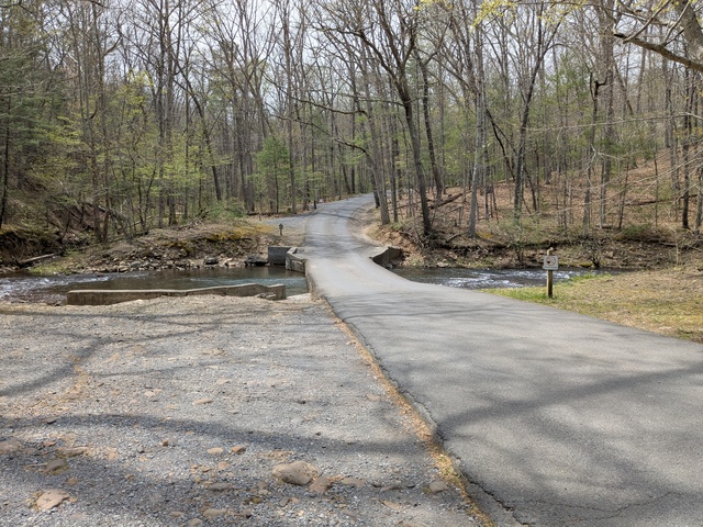
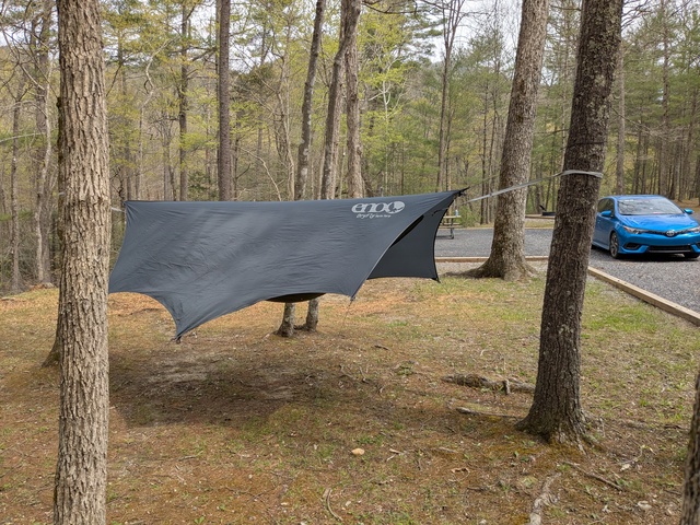
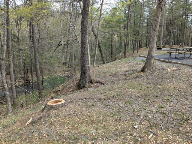
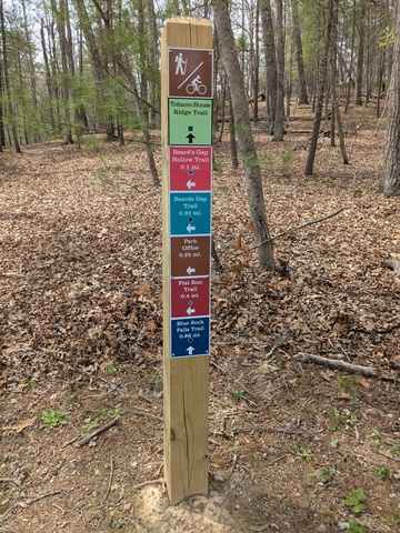
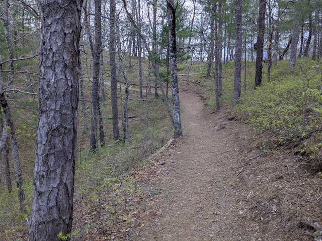
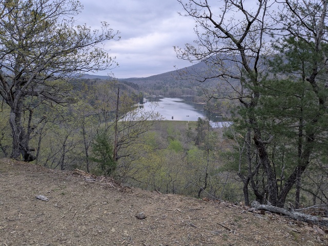
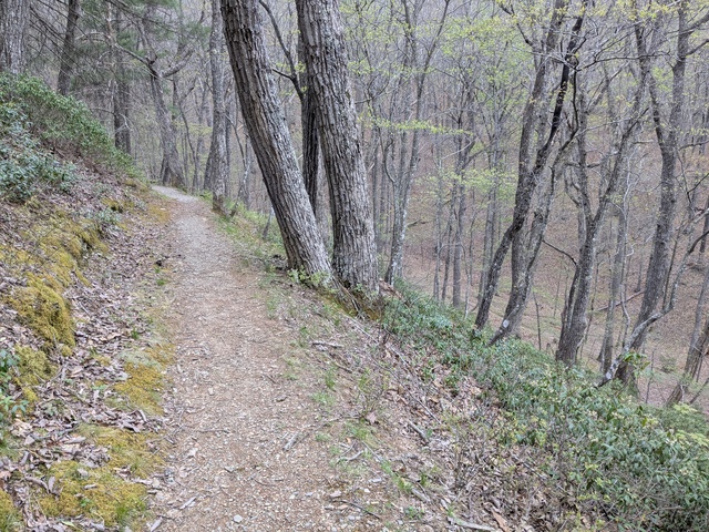
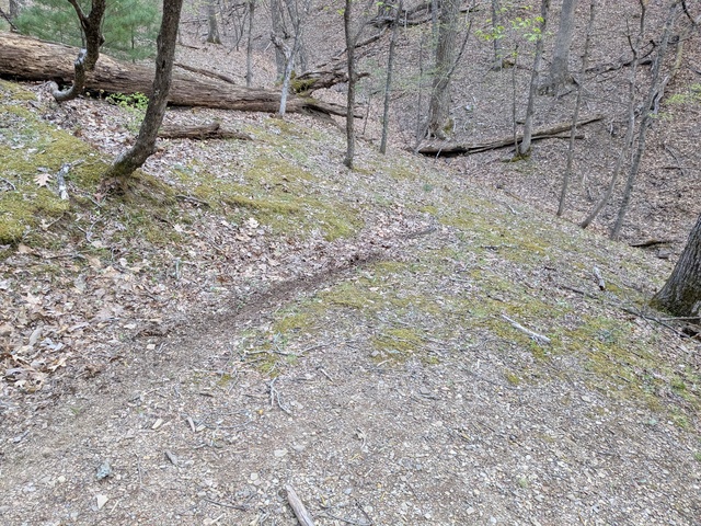
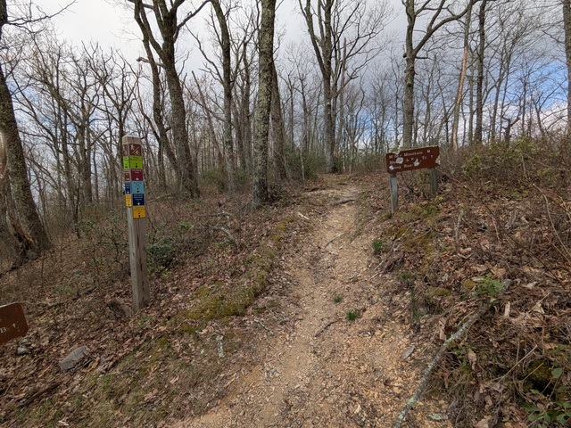
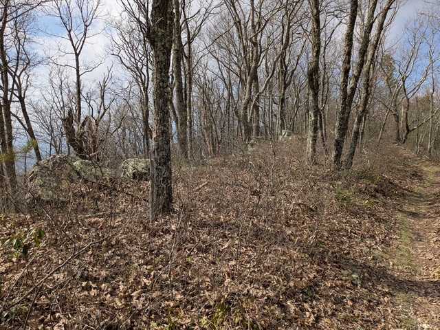
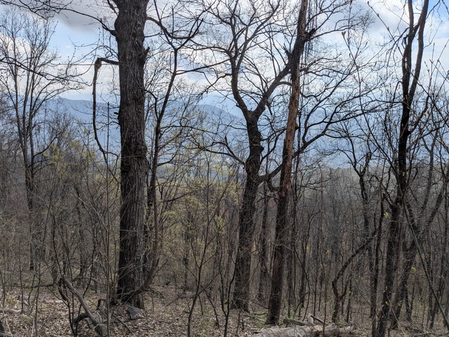
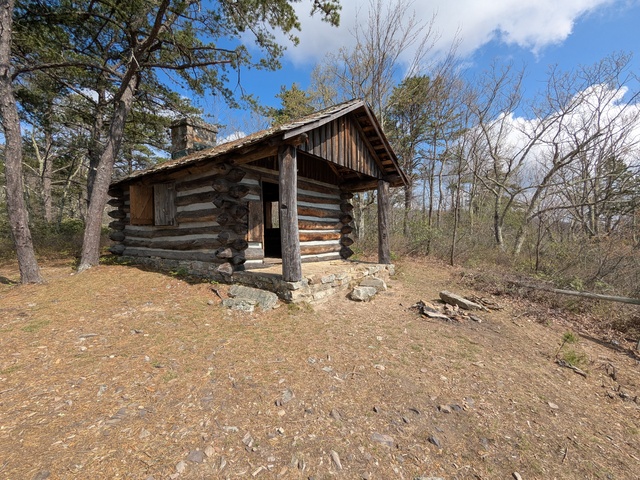
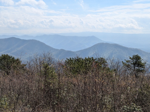
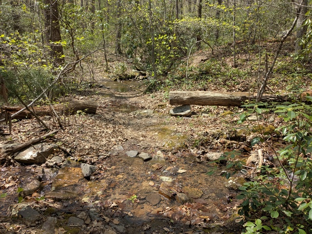
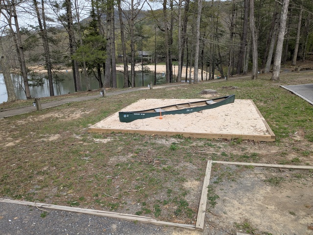
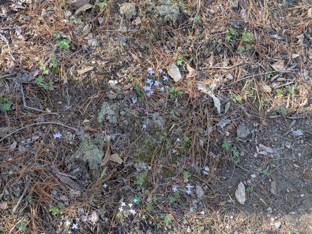
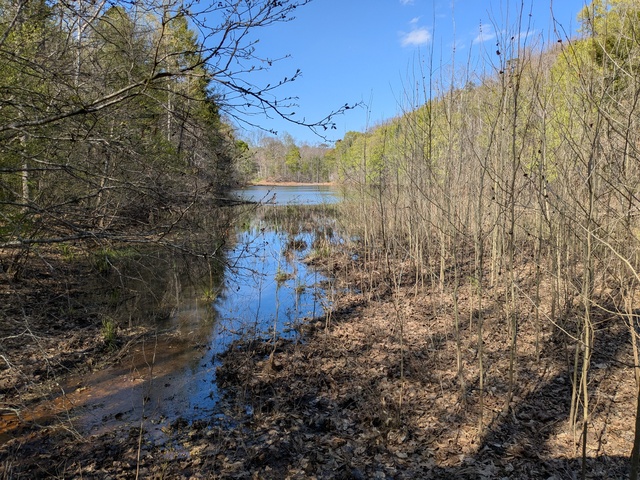
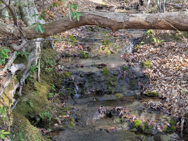
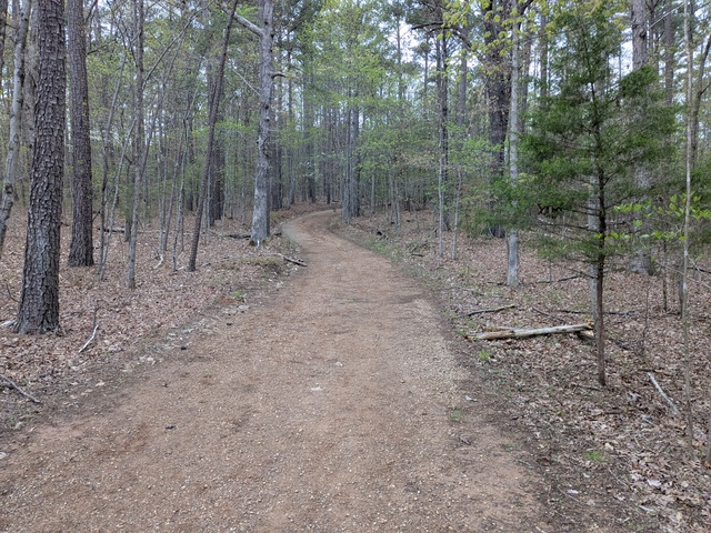
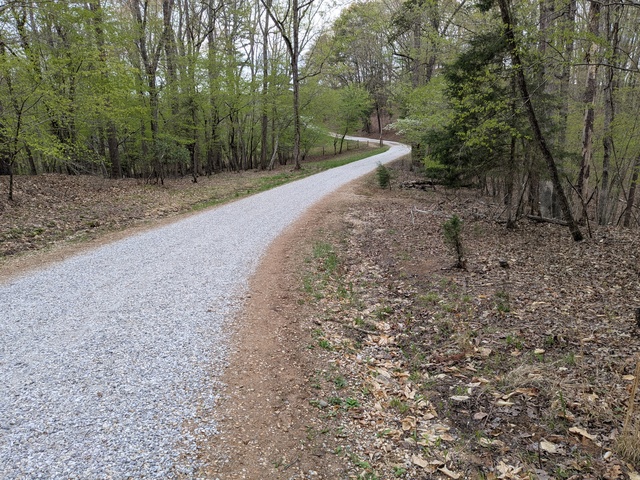
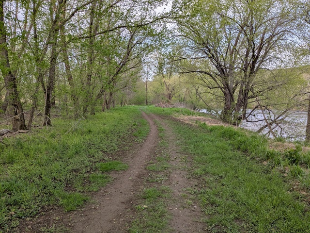
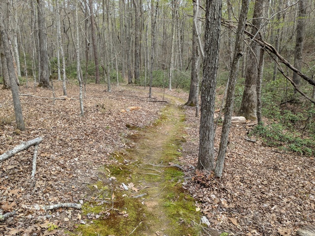
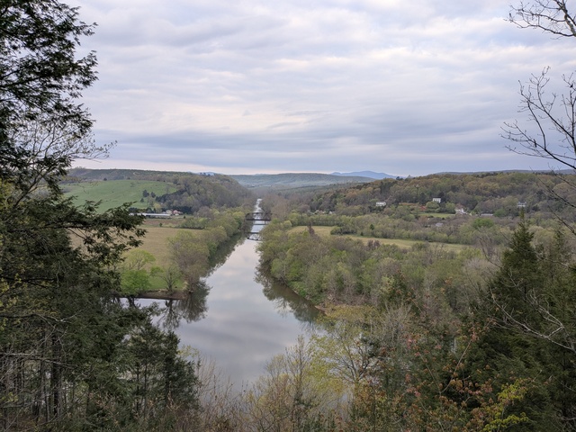
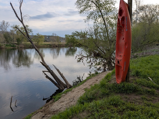
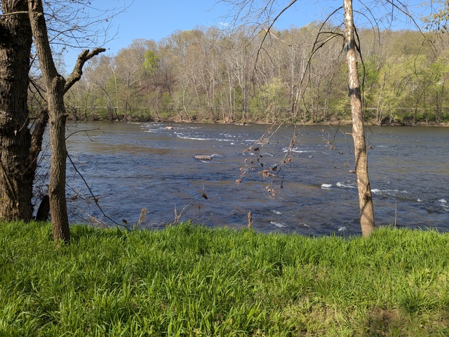
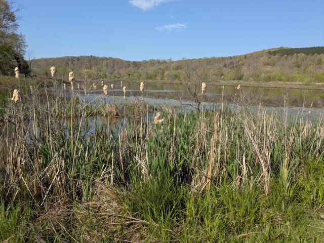
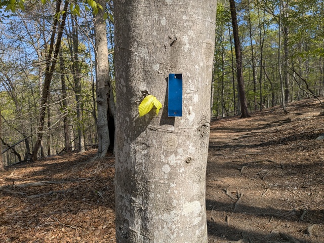
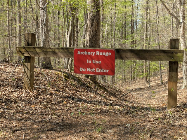
The primary purpose of this trip, like last year’s, was to visit family in Pennsylvania. But that’s just way too long of a drive for one day (for me anyway), so I located a couple of State Parks in Virginia that happened to be almost exactly half-way there. Like before, I scheduled a break from the driving to spend a day hiking in the woods at those State Parks, this time at James River on the way north, and at Douthat on the way back. See those links for details of my stays there.

I kept to what worked last time, early starts, easy schedules, vague ETAs (“I’ll be there late afternoon”), regular breaks (target: every 1.5 hours), and take my time. If someone else on the road is in a much bigger hurry than I am, I let them go ahead. Heck, it’s not like it’s going to do them any good to get there before I do, the campsite reservations are in my name, so they’ll have to wait for me anyway.

Once again, I got to visit the World’s Largest Shop-Rite Supermarket.

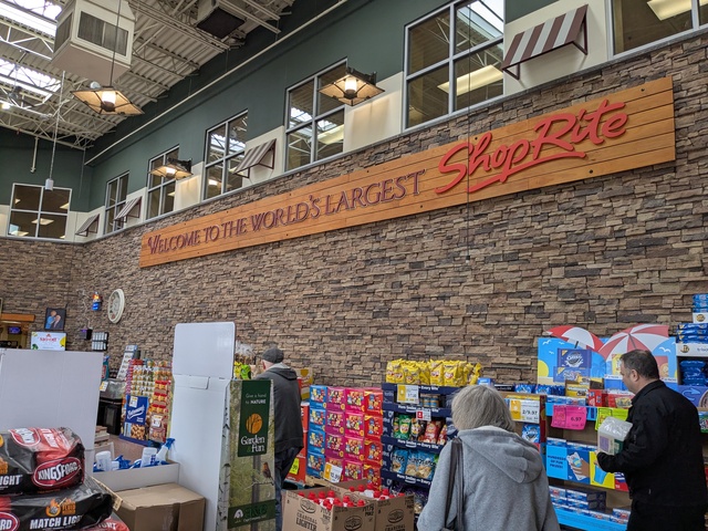
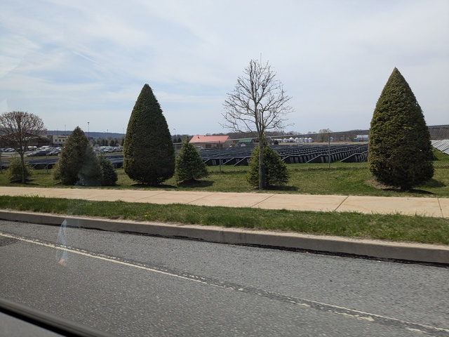
The store is said to be 105,000 square feet, and you could spend a day there if you weren’t careful. The store is mostly powered by a 10-acre solar farm adjacent to the store.

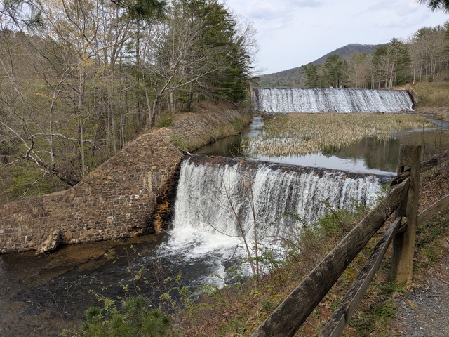
While there, we paid a visit to Beltzville State Park, but it was a really windy day and no one in our little group (myself excluded, of course) weren’t too interested in being out there.

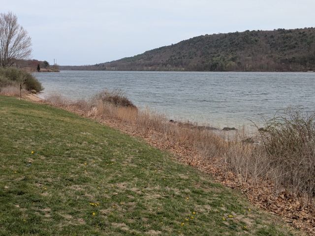
Actually, it was pretty windy the whole time I was there, but I’m not claiming responsibility.

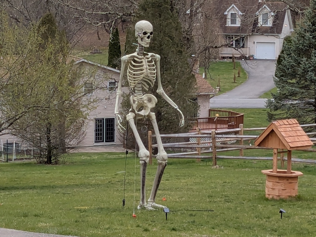
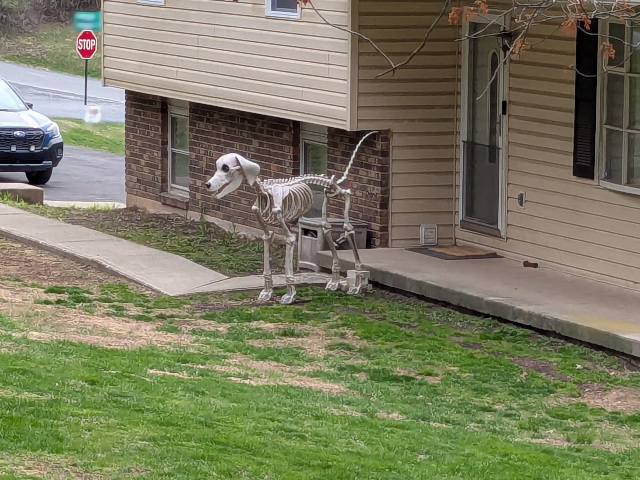
But back to the focus of the trip. It seems some of my Sister’s neighbors are following the Sally Forth school of Halloween decorations. If you follow that comic, you’ll know what I’m talking about.


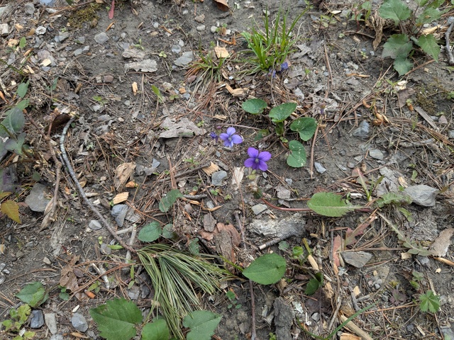
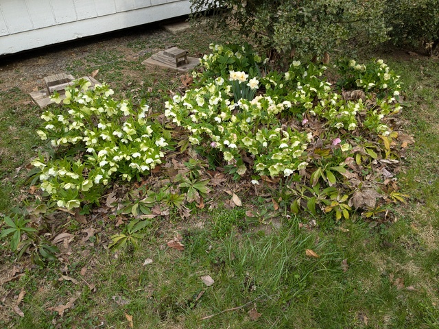
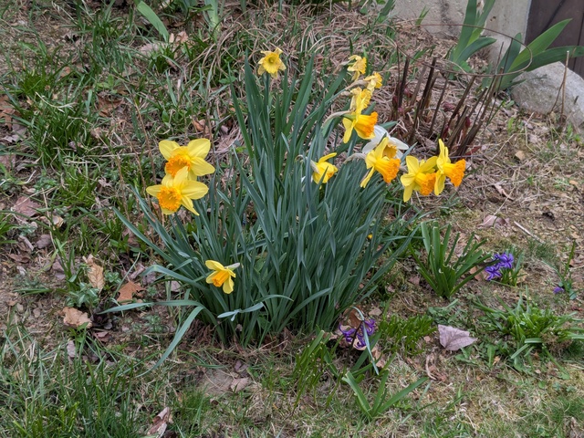
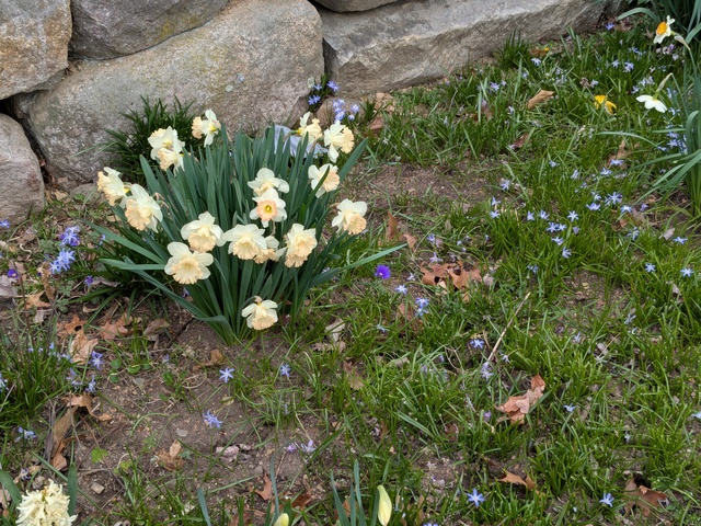
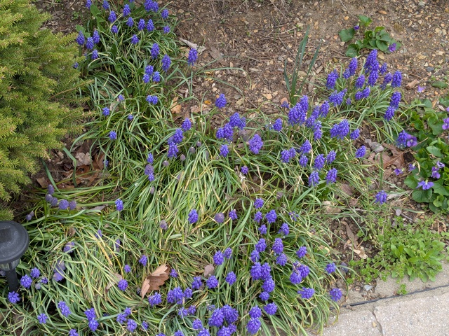
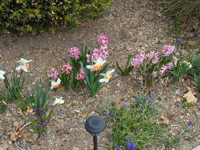
And closer to “home”, my Sister is a Supertastical gardener, and everywhere you look, there are spring flowers blooming.


She’s also a great cook. To earn (or at least return the favor of) my meals, I helped with some of the spring garden prep and planting. I’m looking forward to getting my share of the blueberries 😏.

I’m already thinking about my next trip up north next spring (PTO willing). I think I’ll return to Douthat State Park, VA and hike the other side of it. There’s also Natural Bridge State Park, VA that’s also in a geographically-advantageous location I might check out.

The trip by the numbers:
Statute miles driven: 1413.0
Fuel used: 35.309 gallons
Elapsed trip time: 27 hours, 33 minutes
Most expensive gas: $3.359/gal in Hamburg, PA
Cheapest gas: $2.519/gal in Laurens, SC
States traversed: 6: SC NC VA WV MD PA
Statute miles hiked or walked: 46.4 (that I recorded)
Unread work Emails upon return: (check back Monday, I haven’t looked yet)

Douthat, VA

On the same road trip that brought me to James River State Park, VA, I was able to spend some time at Douthat State Park, VA (pronounced dow-that; I had to ask). Once again, a great place to hike and camp, which I did.

This is the road to the campground. It gave me a brief pause, I’m not used to driving over bridges with no sides.

The White Oak campsites are set up to handle RV’s, but I was able to find a place for myself.

My campsite was just above the stream, which was probably not far from being a river.

And it came with flowers.

Not as many as I had at James River, but the higher elevation (~1400′ MSL) would mean spring would be just a bit later here.

Again, hiking is what I came to do, so shortly after sunrise, bright-eyed and straight-feathered, I set off. There are lots of trails to pick from, many easily accessible from the campground. I headed west.

Most of the trails were like this, single-track and (seemingly) all uphill.

But the climbing was rewarded with some supertastical views (that’s Lake Douthat there):

Climbing means that there are going to be places where you could fall off the trail. If you did, it might be a while before you came to a stop.

They say the land tells a story. This was on a downhill section of trail right where it took a sharp right turn. I think the story here is that a mountain biker almost went down into the gully.

Getting close to the top, where the Salt Stump trail runs into the Middle Mountain trail. The trail topped out around 3100′ MSL.

Now who put these rocks all the way up here?? (as if I didn’t know, Mom Earth)

Wow-mazing views from up here, making the climb well worth it.

At the Tuscarora Overlook there’s a small cabin. I’m told this is the first structure that was built in the park and was used as a fire lookout.

With a view like this, it’d be worth it even if you didn’t need a lookout. You can almost see Lake Douthat in the middle just past that first ridge. The campground would be just a bit to the right, behind that ridge.

There were a number of opportunities to wade or hop across streams. Here were three in a row.

Near the camp store & grill is where the water runs out of Lake Douthat.

In addition to those facilities, you can practice your land canoeing.

You don’t see many of these any more:

Oh yeah, did I mention there’s a grill? I decided I didn’t need to cook (much) that evening.

While I prefer so-called “primitive” camp sites, the campground I stayed at wasn’t that dense and the humans were generally quiet, and I had no issues there. In fact, there wasn’t even any litter I could find.

The only nit I can pick is, again, navigational. At an intersection along the Heron Run trail, the marker pointed in an ambiguous direction. I knew the trail should be following the lake shore which resolved the ambiguity. It was disappointing though that I didn’t see any Herons Running the trail. In reality, this lake, with steep banks, didn’t look like good habitat for the Herons I’m familiar with, who like to wade around in shallow areas.

Another great time at a Virginia State Park. Next time I’m up that way I’ll have to hike around the eastern part of the park.

Strava activity: https://www.strava.com/activities/14245994753

James River, VA

During a recent road trip, I stopped off for a day of hiking at James River State Park, VA, very conveniently located almost exactly half-way along a too-long-for-one-day drive. I have yet to have a bad experience camping at a Virginia State Park, and this one did nothing to change that perception.

I stayed at the Branch Pond campground, where there are so-called “primitive” campsites. Goes to show how words can not mean what they sound like. In this case, “primitive” is better and “modern” would be worse, contrary to what many humans would think. But fortunately I’m not entirely human.

And my “suite” even came with flowers in the “room”.

As the campground name suggests, it was right near the Branch Pond.

…a neat little pond fed by several streams, one of which ran right by my campsite.

This tree near my campsite looked kind of grumpy, probably due to things humans have done.

But I came here to hike, and hike I did. The trails varied with wide dirt, gravel, double-track, and moss-lined single-tracks.


I guess trails can create their own habitats, that’s the only place I saw moss growing in that area.

This is said to be the most-photographed spot in the park. Well, I took a photo here anyway. This is where the Tye River runs into the James River.

Speaking of rivers, I saw a couple of these along the river trail. In case a rescue was needed?

The James River did have some flow to it.

There was a neat wetland parallel to, but separate from the river.

Now lets see, was I following the blue or the green blazes? Guess it doesn’t matter here :).

I make it a point to look at all trail signs, because sometimes they tell you things you really should know.

The worst part was the area of thunderstorms that rolled through on my last night there. I really think they should do something about thatπŸ€”. I elected to take shelter in the car while the storms passed, although there was a dry area under my hammock tent when I broke camp, so I probably would have been ok outside. Probably. Maybe.

But storms are just another part of a wild bird’s life.

I did note a couple of discrepancies between the trail maps and the trails, which bothers me a bit as I’m a rather pedantic about my navigation, and knowing where I and, where I’m going, and how to get there. Might be a “bird” thing, or from my aviation background. The Branch Pond Loop trail wasn’t really a loop, as the area on the north side of the pond was closed. And the Dixon Trail Connector, shown on the posted maps and on one trail that-a-way marker, wasn’t really there. Minor issues really, and otherwise the maps and trail markers were very good, which I’ve come to expect at Virginia State Parks.

All in all, a great time and highly recommended.

Strava activity: https://www.strava.com/activities/14177869612