
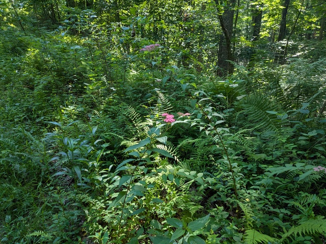
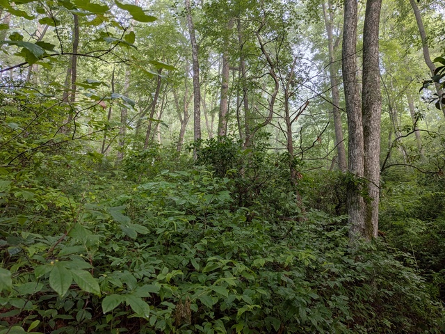
I’m just back from a little trip up to the North Carolina mountains. My first stop was a revisit to the Fawn Lake area of the DuPont State Recreational Forest. Being late-spring-going-on-early-summer, the forest was very green and lush.
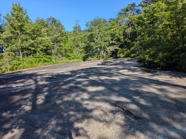
Given my aviation background, I had to make my way up to the old airstrip. Back in decades past when DuPont (the company) had a plant up here, they had their own airstrip. It was closed long ago along with the plant, but the X marking of a closed runway is still visible.
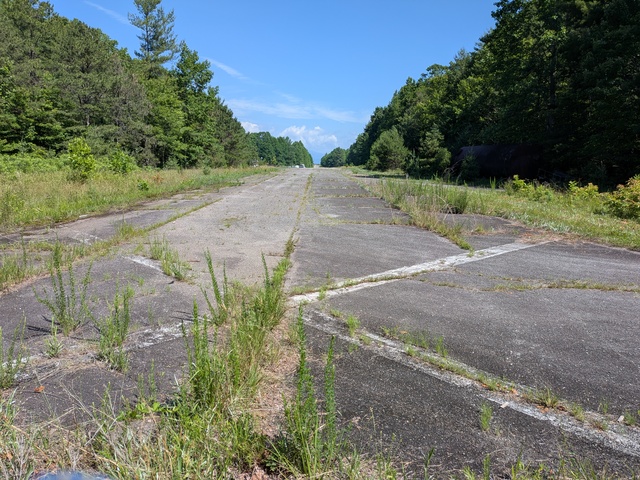
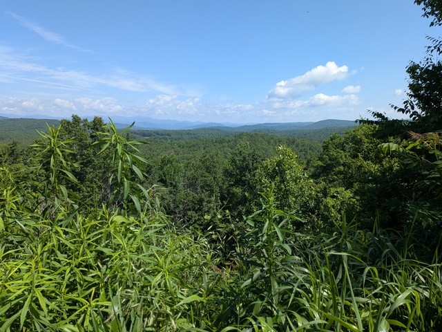
Great view from the north end of the strip.
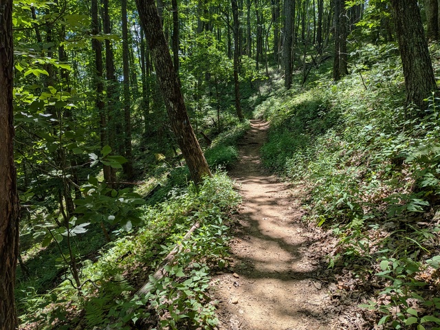
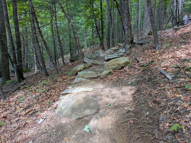
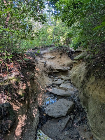
Many of the paths in the forest are actually gravel roads, but there are some that are more to the liking of my hiking shoes, like the Mine Mountain Trail.
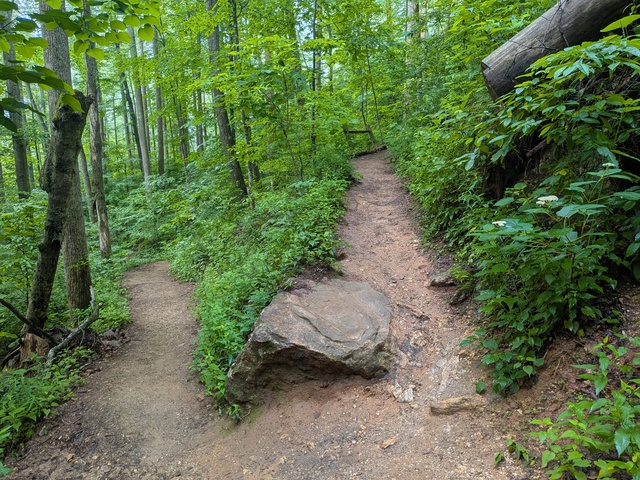
This Forest is very popular with mountain bikers, but I’m not sure this novice MTB’er would attempt something like this:
The Real Reason for my trip though was Samara Jade‘s Birthday Bash Concert in Asheville at the Ayurprana Listening Room. I like this as a venue, because it’s not very large, it used to be a modest-sized church (see the link).
I suspected, knowing what I do, that there’d be some audience participation, and there was quite a lot of singing along, clapping, and dancing going on. It’s been a very long time since I’d been singing in a church (or former church), but there I was. I did not attempt to dance though, that would have probably resulted in injuries.
People sometimes say that a piece of music speaks to them. Quite a few of Samara Jade’s songs speak for me. See her web site linked above. You can also listen to (and buy!) her music on Bandcamp. I would encourage you to pay more than the asking price if you can, it can’t be easy to make a living doing this.
To sandwich the concert on the other side, I paid a visit to Looking Glass Rock. I’m not as fond of out-and-back routes as I am of loops, but I figured this one looked interesting and would fit my schedule. I got there early to start off into a lush, and somewhat misty, forest.
I knew it was all uphill going out, but it seemed pretty easy, mostly hard-packed dirt and a slope that wasn’t too steep. The sort you feel you could do all day long.
Along the way there were a couple of these rock outcrops where the plants haven’t gotten a toe(root)-hold, yet; give them time.
As you start getting towards the top the trail gets rockier and steeper.
According to my phone’s GPS, the trail peaked at 1208m (3963′) ASL and then it drops a bit, you go around a bend, and all I could think was “Holy $H*!”, that view, that place!
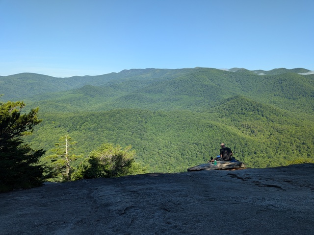
The rock curves down towards that precipice, and as someone with an intense dislike of being in places like roofs and tops of ladders, I didn’t venture very close. But still, that was pretty intense from where I stood. Apparently rock climbers go there, but there were notices posted at the trailhead that the rock faces were closed due to nesting falcons. I’m pretty sure I heard some up there.
I can see why human people go there. There were just a few when I got up there, but on the way back down I passed several groups headed up. It seems to be a lesser-known trail etiquette that those going downhill should give way to those going up, but I follow that. It’s a lot easier for me going downhill to get moving again than someone wrestling with the gravity of the situation, so to speak.