As you might have gathered from my last few posts, I’ve been indulging my avian side’s migratory tendencies with an epic (for me) road trip. While driving doesn’t appeal to me that much, that was the best mode of transportation for this journey.
I had several objectives for this trip: visit my Parents niche in the Columbarium at Arlington National Cemetery, visit family in Pennsylvania, and visit an old friend in Massachusetts, which would include looking around the area where I fledged and hadn’t been back to in some 40 years.
Planning this trip was no small feat in itself (I’m definitely in the “measure twice, cut once” camp), and I really wasn’t sure what to expect when I broached the idea of my taking two full weeks off from work, and Oh by the way, I’m not going to be very reachable. But my manager was supportive and said they’d make it work, so the planning continued.
I decided that I didn’t want to go much past 7 hours en-route in any one day of driving. Since I’m an early bird and would start out around sunrise, that would get me to my planned destinations by mid-to-late afternoon. I’d have no problem meeting check-in times and have no reason to rush, and could travel in daylight. Knowing what I know about “human factors” from aviation, I knew it’d be a good thing to not put myself in the position of having to push limits.
What to take? Traveling by car makes this a lot easier, as I don’t have to fit everything into a carry-on that fits in the overhead bin. That said, my car isn’t all that big, so I gave this a lot of thought. Priority, of course, is any prescription medications or medical supplies. Beyond that, I told myself that it’s not like there won’t be 18 big-box stores along the way if I missed something. So, climate-appropriate clothes, of course. Plenty of snacks to keep handy in th car. Hiking gear (backpack with appropriate 10-essentials, trail shoes and socks…), personal and work laptops (just in case), a few diversions in case I ended up idled someplace (crossword puzzles, book to read, tongue drum…).
What about the house? I’d be leaving it alone for just about 2 weeks. While I have no reason to expect something to go Horribly Wrong, that Mr. Murphy is always lurking around. If a pipe broke the day after I left, it might be a long time before anyone noticed the house sliding down the hill with the flood. To mitigate this, I shut off the water just before I left. I didn’t leave much in the refrigerator (N.B. with a bird in residence, there are no leftovers), but had some stuff in the freezer. I loaded up the freezer with a bunch of ice packs I’d accumulated so that, maybe, if the freezer failed a day or two before I got home, it wouldn’t be a total loss. Of course, no point in keeping the house any warmer than necessary to prevent something from freezing if it got Cold. Everything else should take care of itself. The network and servers have UPSs to ride through any transient power issues. I put the trash out just before I left, and, of course, filled the bird feeders to capacity.
I ventured forth from my home range in upstate South Carolina, USA and headed to Lake Anna State Park, Virginia. The day started out kinda misty/foggy, and the fog got almost thick enough to affect travel at times, but the impact was minimal and I just had some on-and-off light rain on this leg. I planned a day off from driving at Lake Anna to spend in the woods, which you can read about here. That route was mostly Interstate highways for a little over half, then US highways. Interstates are good for getting there quickly, but the US highways are, IMHO, an easier drive. You get a break from “highway driving” occasionally at intersections and towns, and there was a long stretch of US-360 that was divided 4-lane through very rural areas with little traffic. The disadvantage of roads like that is there’s not a lot of places to stop: you won’t find a Love’s, QT, or Bucky’s at every interchange. At one point I was starting to get just a bit concerned about my fuel status and wondered if I should ask Google where the nearest gas station was, but I spotted one before it got to that point.
Speaking of fuel, have a good idea of your range and how far you’re going. I was able to do most of my legs and refuel towards the end, leaving me in good shape for the next leg. I use one trip odometer to track miles-since-fueling, which combined with the “miles to go” on the navigation app let me manage the fuel stops. Of course, fuel stops are also restroom stops, but don’t think you can’t stop until you need fuel. Take advantage of rest areas every hour or two and just stretch out, have a snack, get some fresh air.
After Lake Anna, my next and most challenging destination was Arlington National Cemetery. When I was there last year for our ceremony, I remarked when I got to the hotel front desk “I don’t want to sound like I’m some yokel from rural South Carolina who doesn’t know how to do things in the big city, but I am a yokel from rural South Carolina who has no clue how to do things in the big city”. I planned a route that would let me dart in to Arlington from the west, avoiding Washington DC and all that, and then dart back out to the west. Getting in there went pretty well, and I found the Columbarium with no problem.
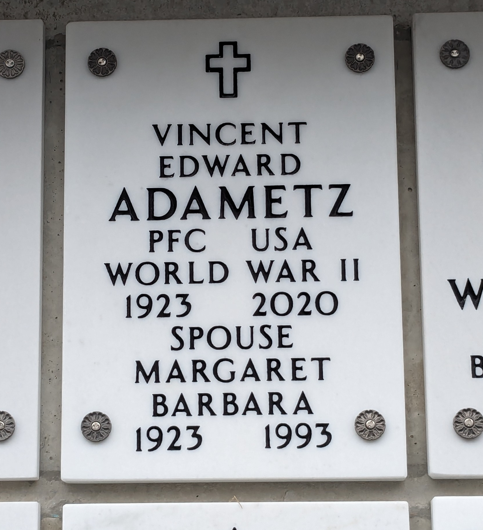
Getting out was a different matter. I couldn’t make the turn I needed to because of traffic, and Google rerouted me, yeah, up towards Baltimore and I-95. Alright, let’s go.
There’s something I learned on that leg. I know in that part of the world toll roads, bridges, tunnels, and whatnot are a lot more prevalent than in my home range, so when Google told me to take the exit for I-895 (note to the highway planners: you’re about to run out of “95’s”) and I saw the toll warnings and “no exit before toll” I wasn’t concerned, I had cash at hand. It wasn’t until I was on the exit ramp and turning off I-695 that I saw a little note on the exit ramp sign: “NO CASH”. WHAT?? How am I supposed to pay this toll? It was far too late at that point to abort the exit without doing something that would have probably closed the highway for hours, so shrug. Apparently all the toll collection these days is automated and a transponder or car tag bills the toll to your online account (which I didn’t have at that point).
Having gotten through that toll tunnel, I got off the highway and re-planned the route to get me away from I-95. From there it was mostly US and state highways up into Pennsylvania, and I got to my destination about an hour later than originally envisioned. Fortunately, my planning was conservative (see above) and I still had a good bit of daylight left over.
I spent a non-driving day with some family in Pennsylvania. While there I got online and created myself some “pay-by-plate” toll accounts for the states I had already run tolls in or expected to encounter going further north. I’m told that they’ll just send me a bill, which is fine, as long as it doesn’t include a ticket. My research showed that there’s just no place to cross the Hudson River without paying a toll unless you go all the way up to Albany, which would have added at least 2 hours to my ETE to Massachusetts. With accounts created, I considered that a solved issue.
Next was a short leg (just 5 hours) to Massachusetts. This is the area where I did a lot of growing up and fledged back in the 1970s before taking a job in South Carolina in 1980. I’d been back a few times in the early 1980s, but hadn’t been there in some 40 years.
I used to work for Digital Equipment Corporation at “The Mill” (as we called it, the complex used to be a woolen mill back in civil war times). Back then, in Digital’s heyday, this parking lot would have been full.
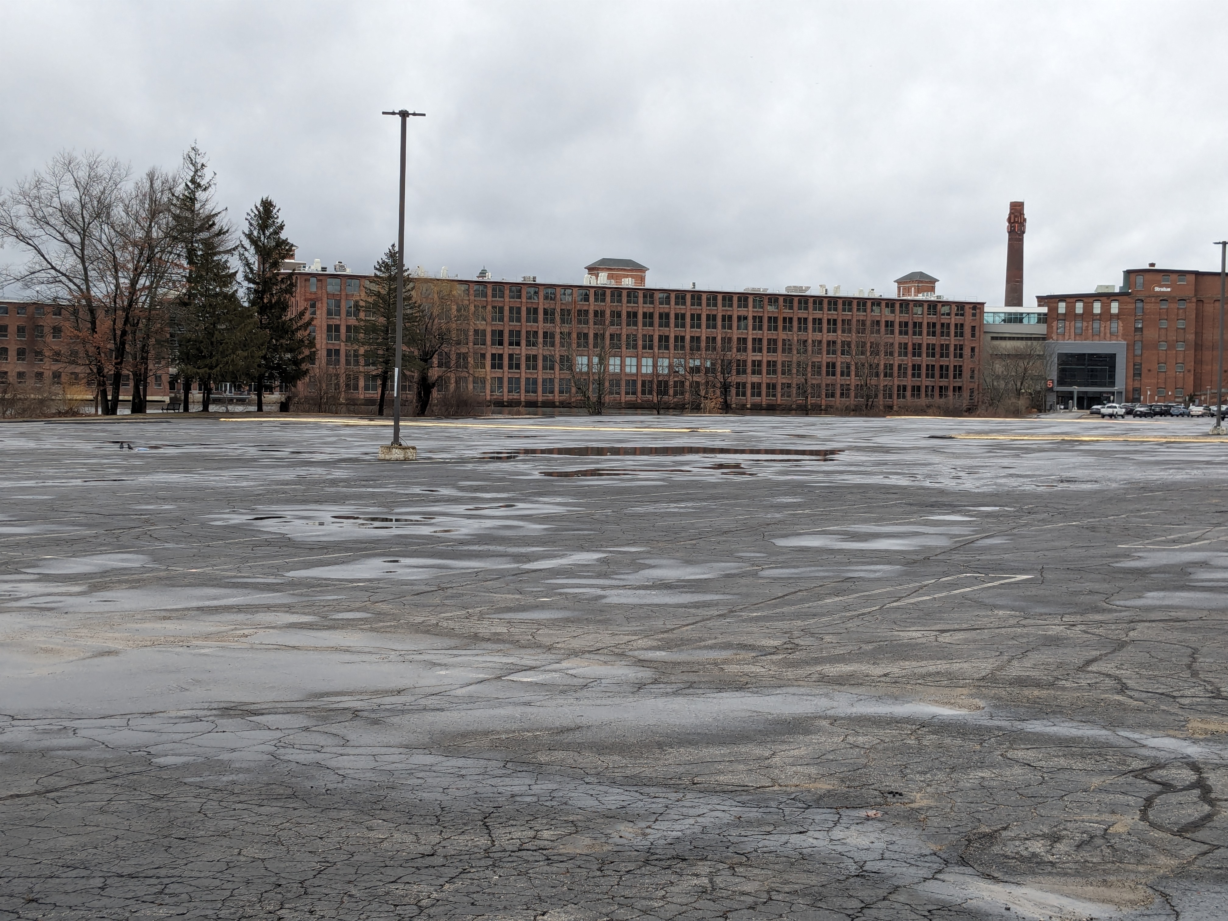
Digital is long gone now, having been bought by Compaq, then by HP, and spun off into HPE. The running joke is that no one would have thought that Digital, at one time the 2nd largest computer company in the world, would get bought by a PC company, which would then get bought by a printer company. I wandered around the town a bit, which seems to have recovered from Digital’s demise, and got a pizza that still tasted like it did back in the 1970s.
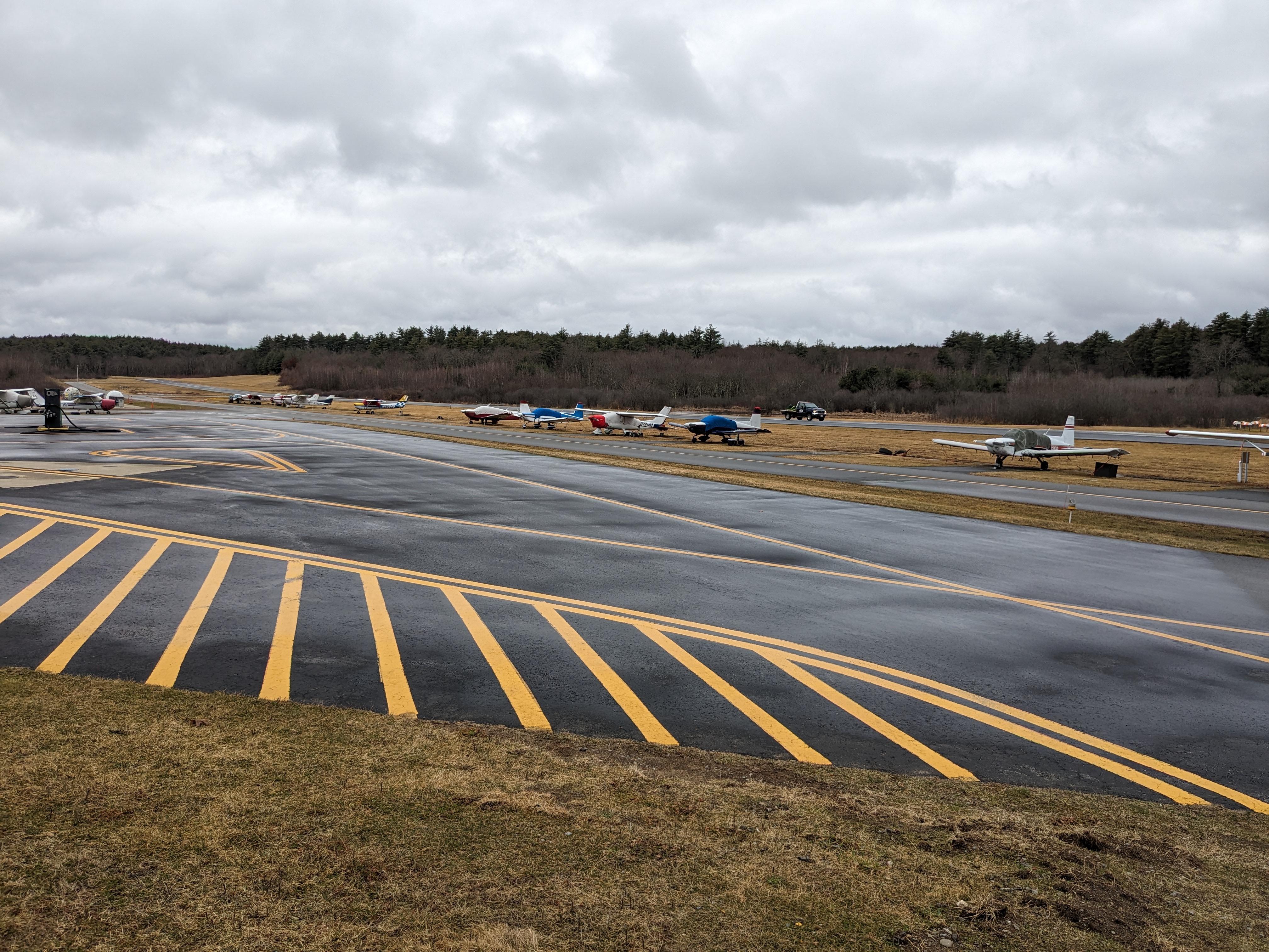
I visited Minuteman Field, where I learned to fly/fledged. Of course, there’s more gates and fences these days, but the field is basically the same and seemed to be doing well.
My non-driving day involved a hike with that old friend at the Assabet River National Wildlife Refuge. That area had been used by the US Army until 2000, when it was turned over to the US Fish & Wildlife Service.
Then it was back to Pennsylvania, where I had planned three non-driving days to spend with more family. Did some walking around the neighborhood and the woods behind the house, including one walk in a bit of a snow squall. That was the only snow I encountered on the whole trip, in spite of a chance of snow on the way south from Massachusetts.
While there, I noted some things that you just don’t see in my home range, like this lawn appliance:
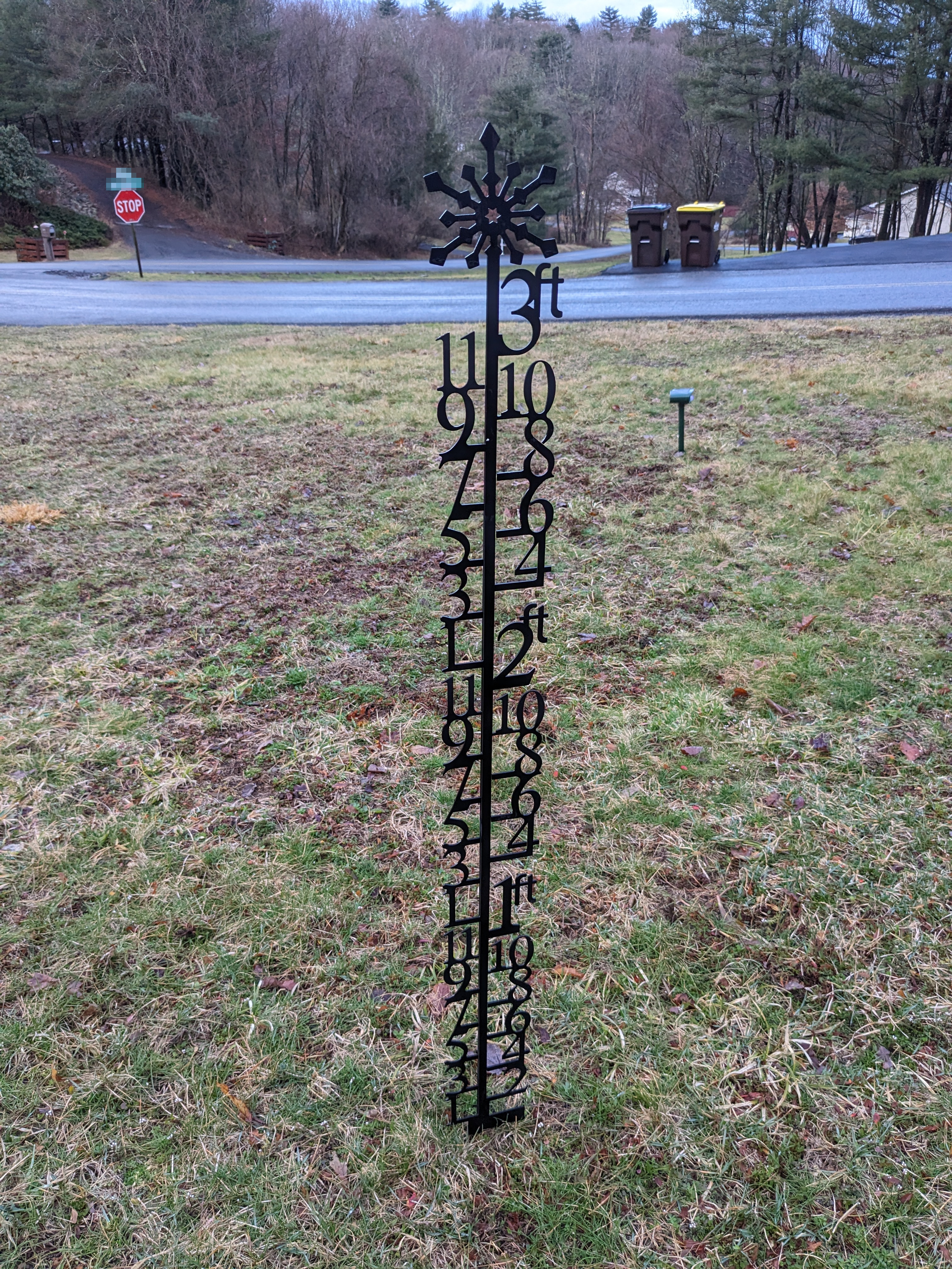
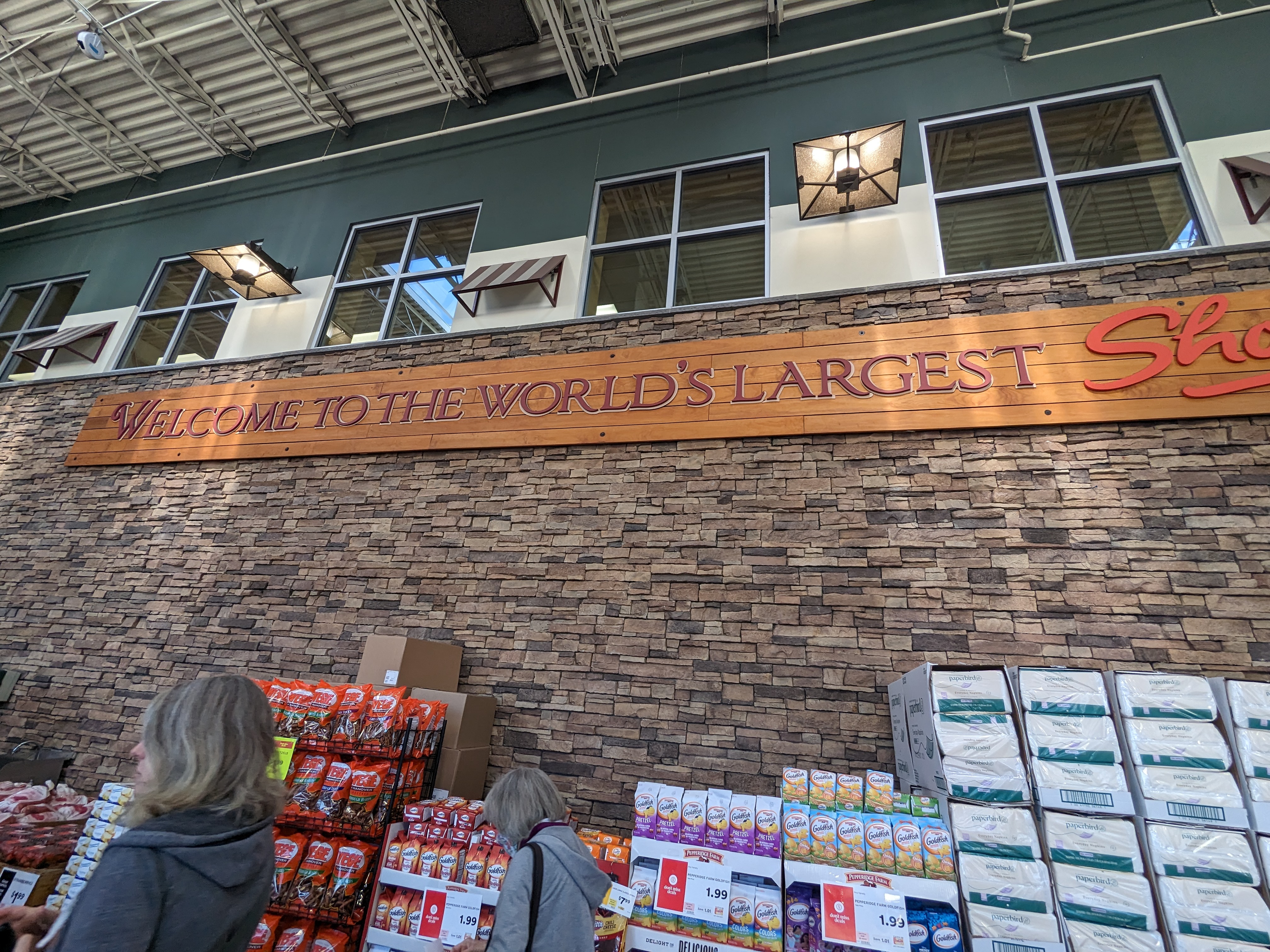
It took me a while to figure out that this is to show the snow depth. I also got to visit the world’s largest Shop-Rite supermarket:
My Sister keeps a well-provisioned bird feeder, which provided some photography opportunities:
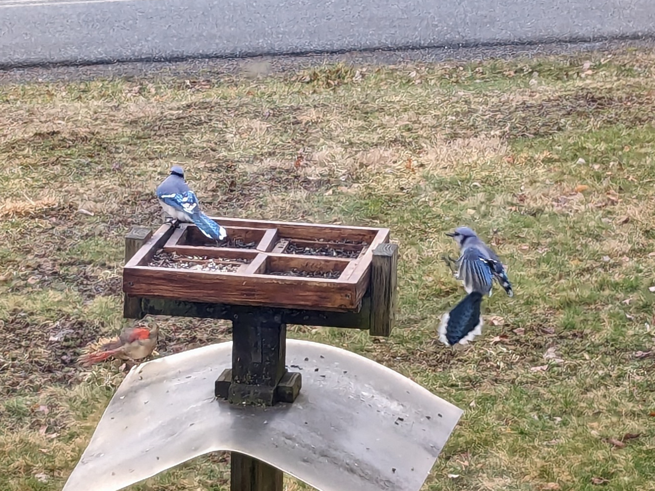
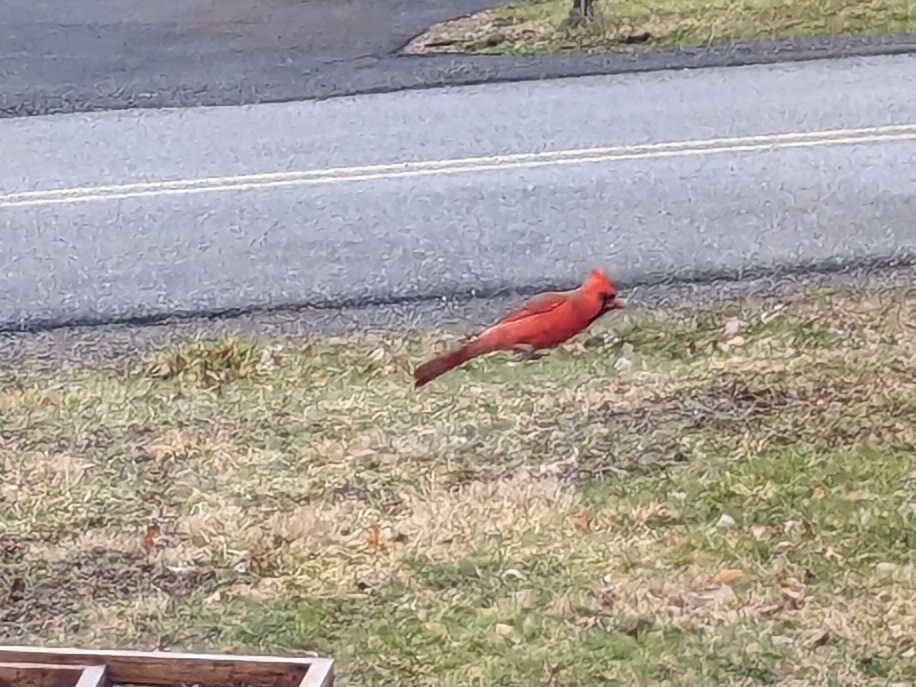
While there, the weather forecast for my next stop, Powhatan State Park, VA, began to gel. Before I left, I looked at what forecasts were available (a forecast almost two weeks out is pretty much in tea-leaves territory) and climatological data and decided: Virginia in early March? I don’t need to bring shorts. Wrong. By the time I was headed that way the forecast for my hike day was 78F degrees. Remember how I said there’d be no shortage of big-box retailers along the way? A stop in Culpepper, VA resolved the shorts issue as well as doubled as a fuel stop.
The hike day at Powhatan was almost perfect, just a bit chilly starting out.
Finally, it was time for the last leg and homeward bound. More US highways, then onto I-85 in North Carolina. It was about half-way down through NC that I encountered the worst weather of the whole trip when I ran into a big area of moderate to heavy rain. For a while it was heavy enough that the windshield wipers were just keeping up with it. Keeping pace with highway speeds in those conditions wasn’t much fun, but I knew I was going to be on I-85 for quite a while so I just picked the next-to-right lane (to avoid exiting and entering traffic and exit-only lanes) and followed the vehicle in front of me. Coming out of Charlotte traffic slowed way down, almost to a crawl at times, which was actually a bit of a relief. Traffic kept moving and eventually resumed normal speed as we came out of the rain.
Arriving at home, I found everything in order, just as I left it. I padded my mail hold a bit so I didn’t have to worry about that for a couple days. My main priorities were a) getting a grocery pick-up order placed for the following morning, and b) unloading the car so I could pick up those groceries. Refilled the bird feeders, took a walk around the neighborhood to reacquaint myself and see if anything changed.
Reflecting on the trip, I think I can say “mission accomplished”. I hit all my objectives on schedule (having slack in the schedule helps that). Saw new things, learned useful things. I can say with assurance that I’m now “current” on highway driving (pilots will recognize that phraseology). Everything worked out very close to plan. A flip of the crest to my co-workers who kept everything going and didn’t feel a need to call me. I think alternating the driving and hiking (or whatever) days was a good strategy to avoid getting too “road weary”.
I probably will do this again at some point, it was a pleasure seeing those distant friends and family members in 3D for a change and not in a Zoom window. I would like to take more time and make more stops along the way, but as long as I’m working, I think two weeks is about the most I can reasonably “PTO”, so the basic itinerary would be the same. One thing I will change: I love and miss my parents, but I think I’m going to skip Arlington next time. I’m a woodland creature, not a city bird.
The biggest take-away to me is that I can do this, and I now have some experience, which is always useful. And I now have one of those E-Z Pass toll transponders.
Some statistics:
Statute miles driven: 2084
Fuel used: 55.229 gallons
Most expensive gas: 3.699/gal, Lancaster PA
Cheapest gas: 3.089/gal, Laurens, SC
States traversed: 9: SC NC VA MD WV PA NY CT MA
Statute miles hiked or walked: 51 (that I recorded)
Unread work Emails upon return: 5781

Sounds like a really nice trip. My wife’s family is from the central VA area and her dad lives outside of Richmond now wo I’m very familiar with the 360 route. I think that stretch of highway is one of the most enjoyable sections I’ve ever driven – beautiful scenery and very little traffic.
Have to share about my trip to Arlington a couple of years ago. Filled up the van in Greenwood and the computer said the range was like 339 (or something like that). When we got to the Richmond area, we pulled off to get gas. Decided to grab something to eat while off the highway. We both got distracted in picking a place to eat, grabbed some food and got back on the highway – did you catch what we didn’t do? About an hour or so later, in the Fredericksburg area – on a 5 lane wide highway – I looked down and the gas gauge was below empty!! Panicked, I thankfully made it to the next exit and by my account, miraculously made it to a gas station.
Good catch on the fuel issue before it became an emergency! (An engine failure on a 5-lane highway, especially in the left lanes, IMHO, qualifies as an emergency.) Based on my couple of trips up that way, I couldn’t help but think that 339 miles is way low. But why wonder when we can know? Google says Greenwood, SC to Arlington, VA is at least 503 miles.
It might be my aviation background that causes me to be very mindful of fuel status and not trusting entirely in the gauges. Running out of gas in an airplane is one of the most inexcusable goofs a pilot can make.
Thanks for your story!