I just spent some time up in North Carolina again, this time at the Davidson River campground in the Pisgah National Forest. My objective, as last time, was to continue working towards a real backpacking trip.
The first order of business was to hike with my backpack full of camping gear (around 18kg, I really need to revisit that “ultralight” camping thing). I set out on the North Slope trail, which I guess is because it’s on the north side of a ridge. I was actually going south while sloping up.
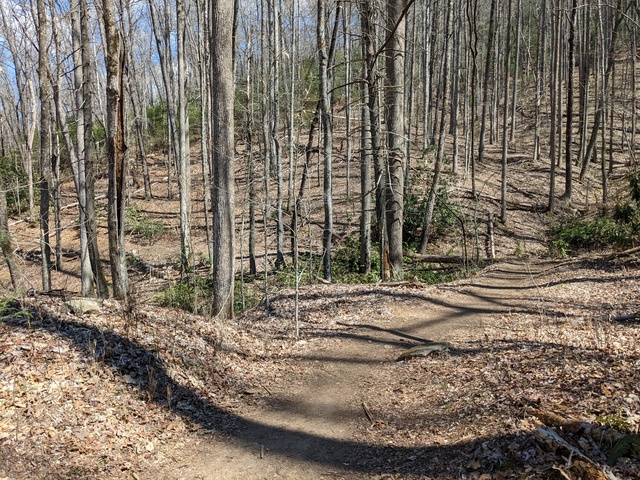
A nice walk, it was good just being in the woods.
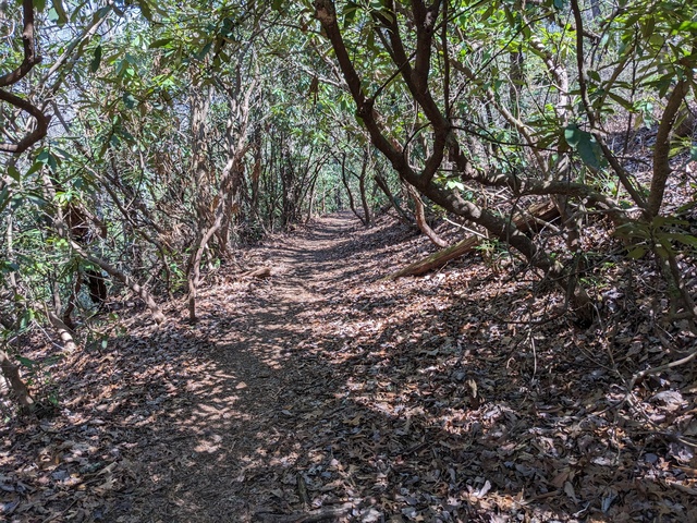
There were places to be careful, though. You could literally fall off the trail, and it might be a while before you came to a stop.
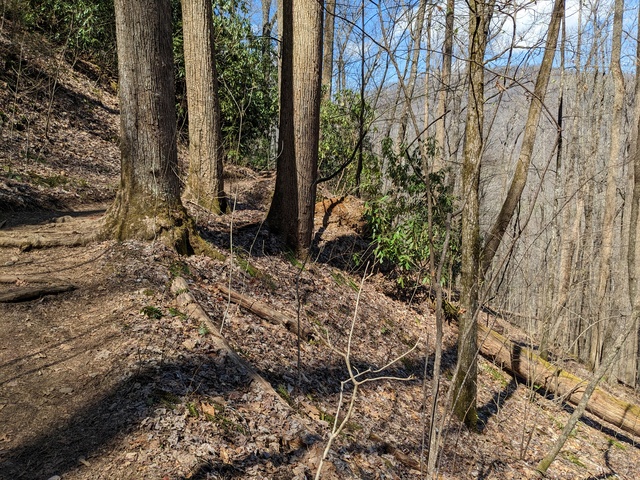
This looked just a bit precarious. I’m impressed that mountain bikers ride this trail.
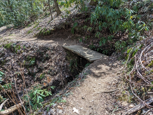
Having completed that, it was time to set up camp. I don’t know what that big flat spot was for, there was a paved area to leave the car on.
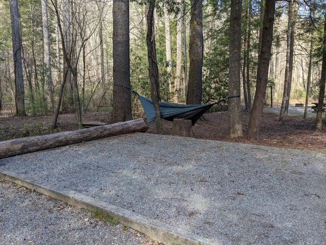
As on my last trip, I didn’t partake much of the campground facilities, just getting water and using the bathhouse (they don’t like campers digging catholes for some reason). My objective was to live on what I had in my backpack. That said, the place did seem to be well run, the facilities I used were in good order, and the campsites were not too close together. The campground does sit right alongside US276, so there’s a fair bit of traffic noise during the day and evening. That did provide a bit of a handrail while I was on the North Slope trail: I knew I was going in the right direction as long as the traffic was on my left, and I was heading back towards the campground when it moved in front of me.
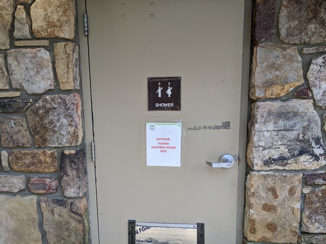
I’m glad I didn’t have to use this shower, because I didn’t bring anyone along with me.
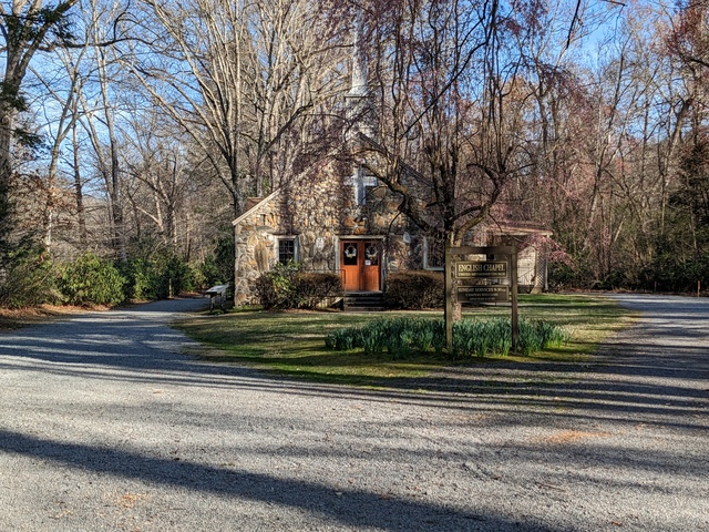
I kept noticing on the map this “English Chapel”. Turns out it has nothing really to do with England, it was built in the 1800s by a man named English.
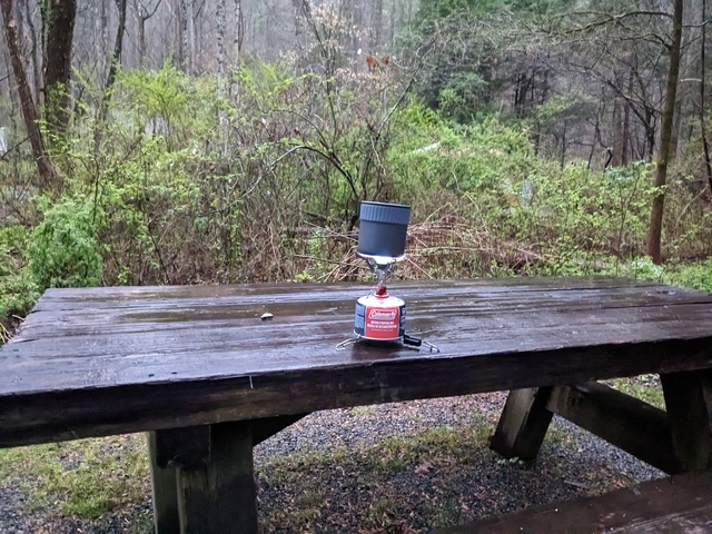
The next morning brought rain. This provided a Useful Learning Experience for my backpacking aspirations. I know now that my little camp stove works in the rain.
Time to hit the trail again, starting out on the North Slope trail along the Davidson River. This time with a lot less backpack, maybe 5kg.
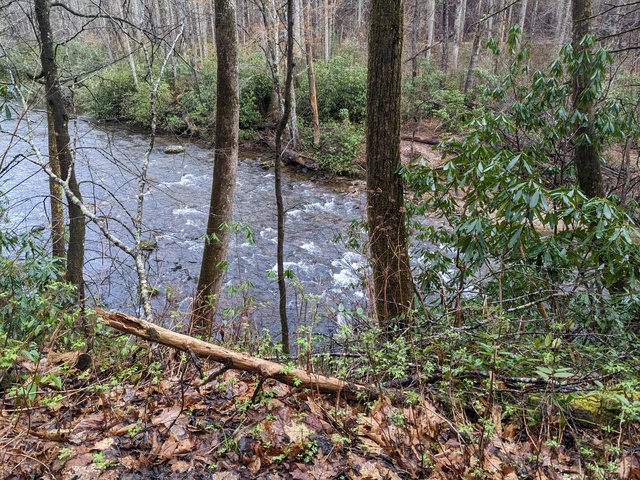
There’s a connector between the North Slope trail and the more extensive Art Loeb trail that passes by the south side of the campground and ends nearby. Climbing that connector trail taught me to not pay much attention to the climb going up, just keep going. Then if you want to look back (down), ok. You can see some of the switchbacks below in this picture. This climb started way down there.
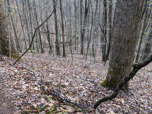
Oh Sure, NOW you tell me this trail is “Most Difficult”. Like what I just climbed wasn’t?
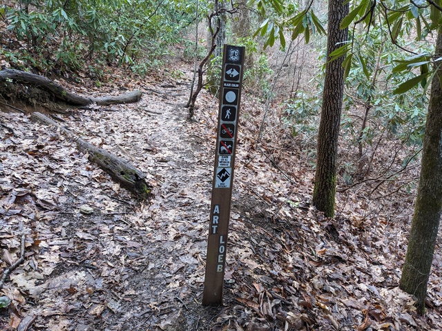
I did see a couple of people running up here, which is gotta be hard core.
Ok, so this is STILL “most difficult”.
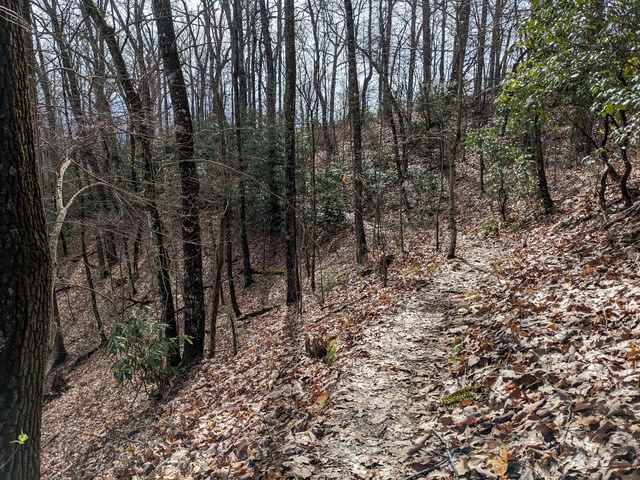
There’s not a lot of wide open vistas up here, but you can get some views.
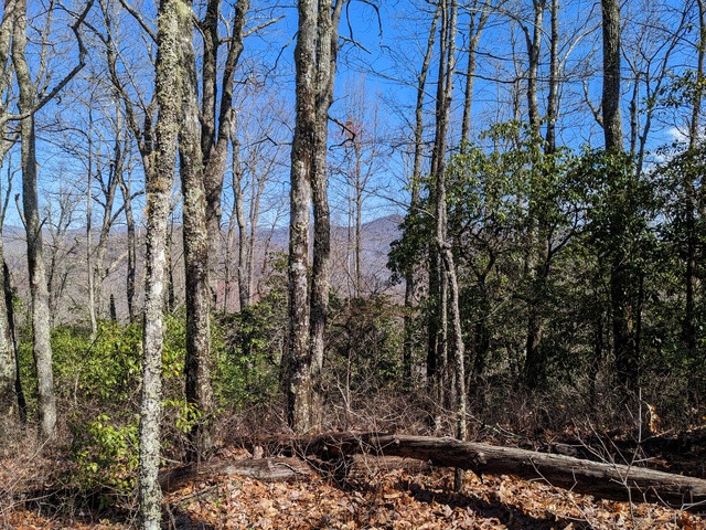
N.B.: A tree that falls over is not necessarily done for.
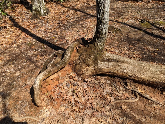
What, go off the trail? Here??
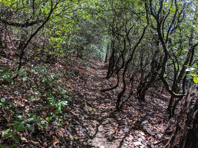
Again, there are places you could fall off the trail.
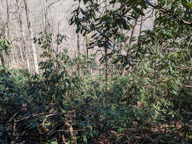
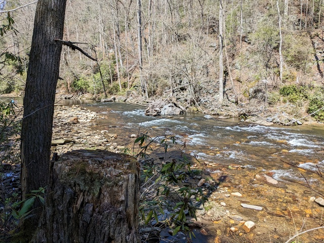
Finally, back down to the river. Whew.
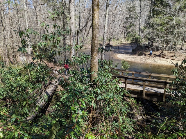
And the end of the Art Loeb Trail.
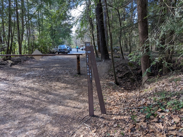
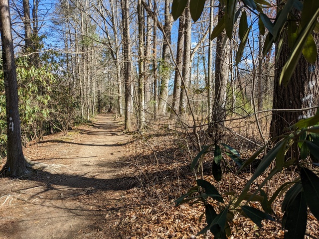
Of course, I’m still not back to the campsite. Most of the way from here is like this, no climbing to speak of, no tree roots to tiptoe over, no precipitous falls if you make a wrong step.
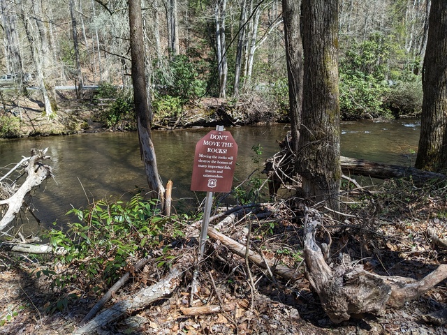
Nope, don’t move the rocks. That would be leaving a trace.
There’s a few places where the river has some little rapids.
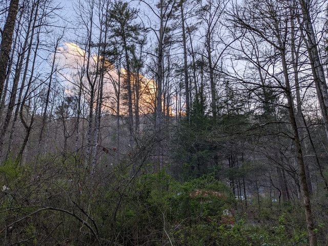
And finally, a day well done, and the sun about to close up shop behind a cloud and mountain.
Until sunrise the next morning, and time to pack up and go back to “civilization”.
I didn’t head straight out of the mountains just yet however. REI was offering a class in “wilderness survival”, which I thought would have Useful Information to know as I approached that backpacking trip. And it did. Highly recommended if you might be in the wilderness. It won’t make you an expert, but will give you things to think about and a good idea what else you need to learn (for example, I need to work on my knot tying).
All in all, a good trip, met the objectives, a learned a good bit. I knew those trails would be a stretch for me, and they were, but at no point did I consider giving up. There were a few times, however, where I wondered “what have I gotten myself into??”
Strava links:
North Slope trail
North Slope/Art Loeb trail

Looks like a great challenge and fun at the same time
Looks like a good time! I have done a little day hiking around Davidson River. If you continuing on up 276 to the Parkway and go left, there is a great place to do more hiking and primitive camping called Graveyard Fields. Some nice waterfalls to see there too. It can get a little busy with tourists right off the road and around the waterfalls, but any further out and you won’t see anyone.
Looks like you’re laying the foundation for a very enjoyable backpacking adventure. This inspires me to go out and visit some of the trails in my area.
That’s exactly what I’m doing, building up to that backpacking trip.
Yes, to borrow from the South Carolina Department of Parks, Recreation & Tourism, Come Out and Play!
Looks amazing!! Not gonna lie – I’m a little jealous. My favorite photo is the one that says “finally back down to the river.” It looks so lovely!