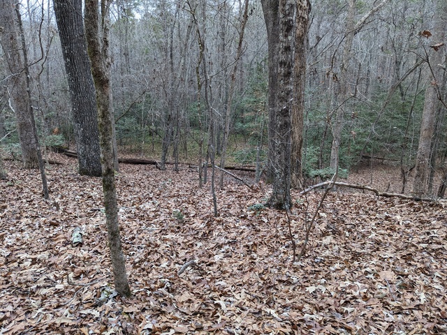
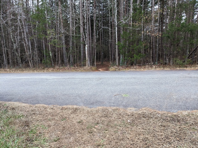
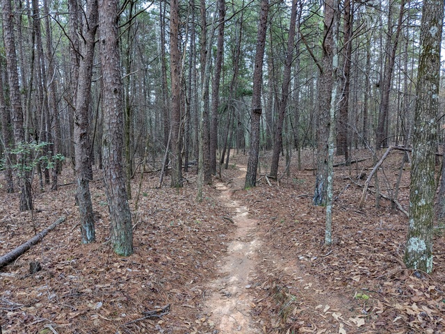
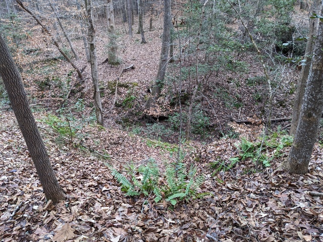
Davidson River

I just spent some time up in North Carolina again, this time at the Davidson River campground in the Pisgah National Forest. My objective, as last time, was to continue working towards a real backpacking trip.

The first order of business was to hike with my backpack full of camping gear (around 18kg, I really need to revisit that “ultralight” camping thing). I set out on the North Slope trail, which I guess is because it’s on the north side of a ridge. I was actually going south while sloping up.
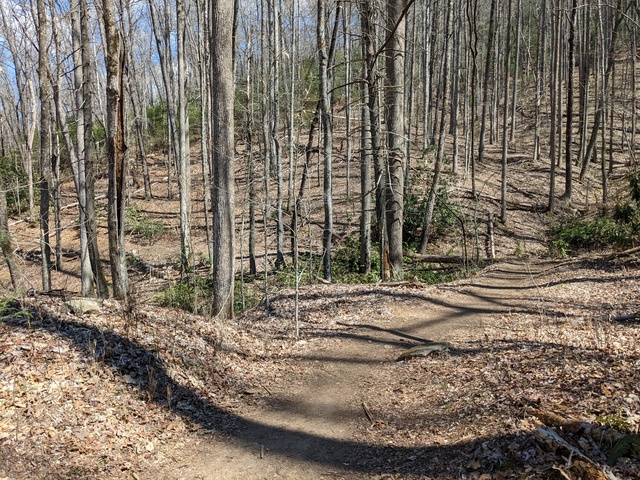
A nice walk, it was good just being in the woods.
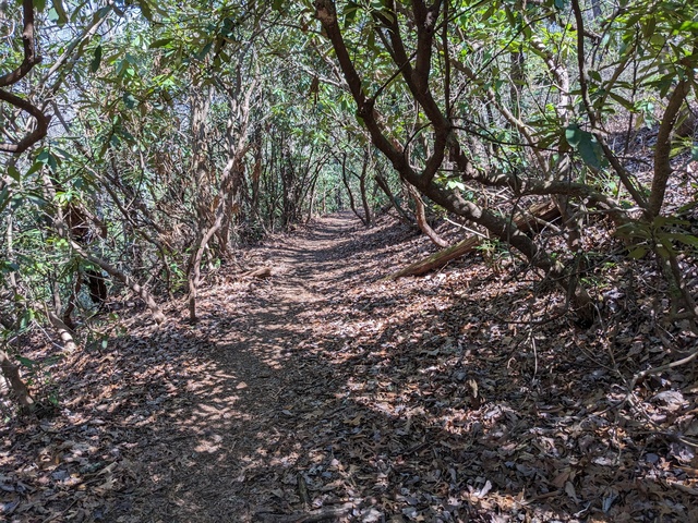
There were places to be careful, though. You could literally fall off the trail, and it might be a while before you came to a stop.
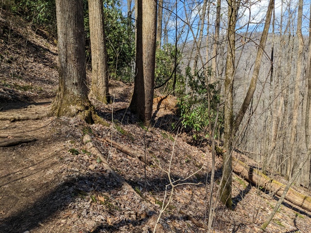
This looked just a bit precarious. I’m impressed that mountain bikers ride this trail.
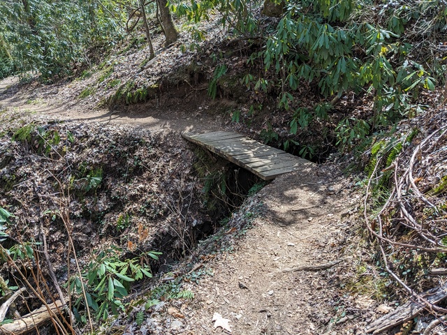
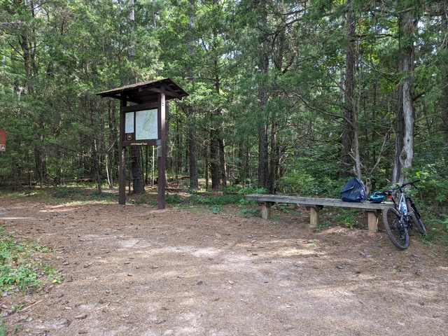
Having completed that, it was time to set up camp. I don’t know what that big flat spot was for, there was a paved area to leave the car on.
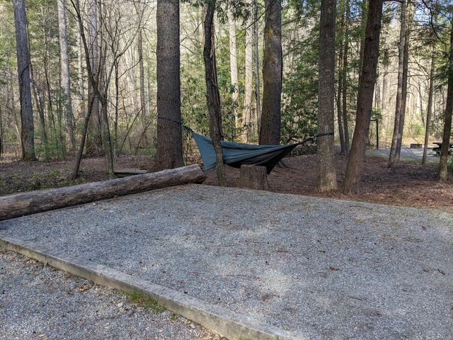
As on my last trip, I didn’t partake much of the campground facilities, just getting water and using the bathhouse (they don’t like campers digging catholes for some reason). My objective was to live on what I had in my backpack. That said, the place did seem to be well run, the facilities I used were in good order, and the campsites were not too close together. The campground does sit right alongside US276, so there’s a fair bit of traffic noise during the day and evening. That did provide a bit of a handrail while I was on the North Slope trail: I knew I was going in the right direction as long as the traffic was on my left, and I was heading back towards the campground when it moved in front of me.

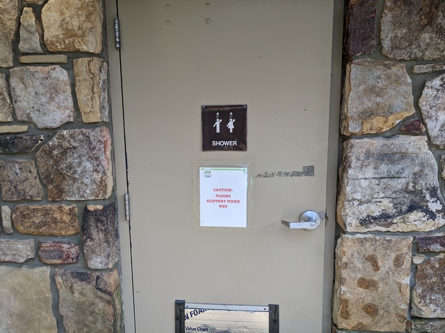
I’m glad I didn’t have to use this shower, because I didn’t bring anyone along with me.
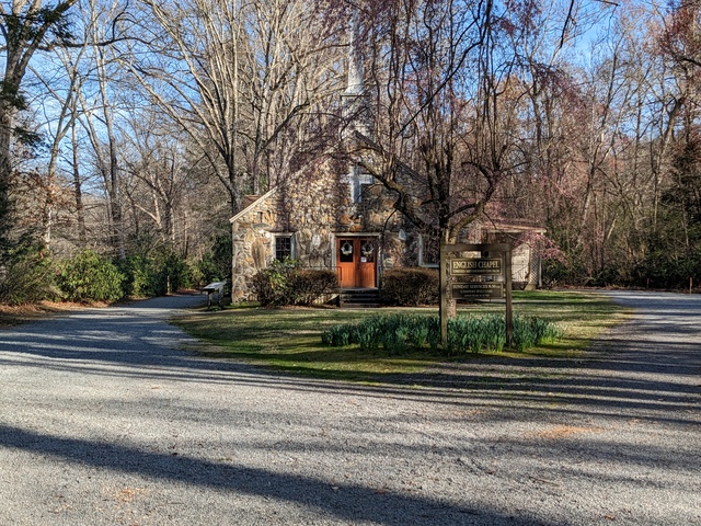
I kept noticing on the map this “English Chapel”. Turns out it has nothing really to do with England, it was built in the 1800s by a man named English.
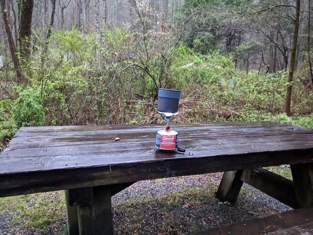
The next morning brought rain. This provided a Useful Learning Experience for my backpacking aspirations. I know now that my little camp stove works in the rain.
Time to hit the trail again, starting out on the North Slope trail along the Davidson River. This time with a lot less backpack, maybe 5kg.
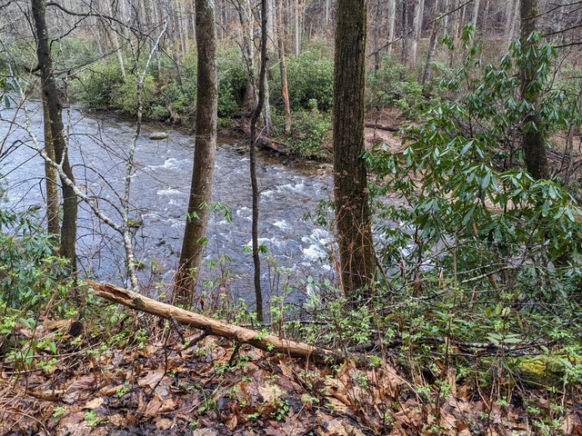
There’s a connector between the North Slope trail and the more extensive Art Loeb trail that passes by the south side of the campground and ends nearby. Climbing that connector trail taught me to not pay much attention to the climb going up, just keep going. Then if you want to look back (down), ok. You can see some of the switchbacks below in this picture. This climb started way down there.
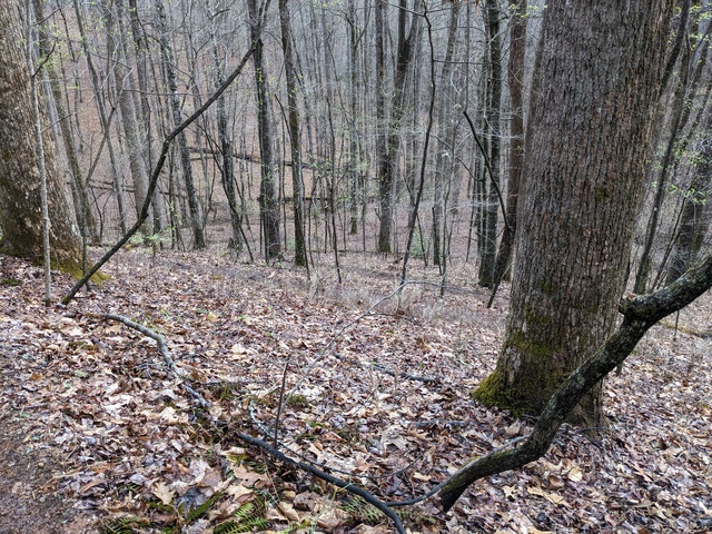
Oh Sure, NOW you tell me this trail is “Most Difficult”. Like what I just climbed wasn’t?
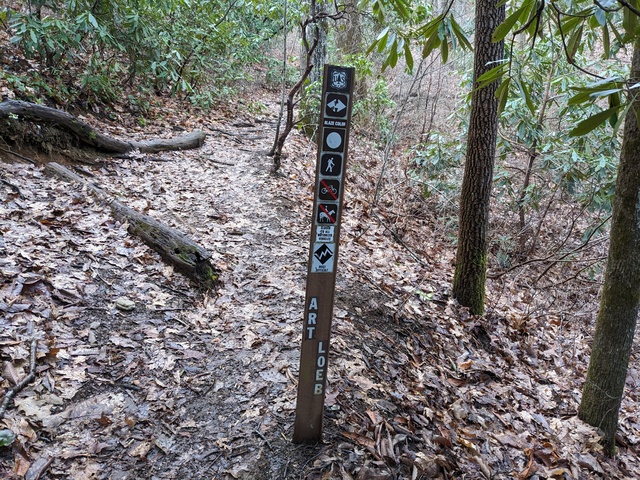
I did see a couple of people running up here, which is gotta be hard core.

Ok, so this is STILL “most difficult”.
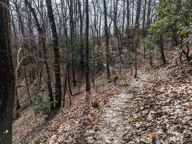
There’s not a lot of wide open vistas up here, but you can get some views.
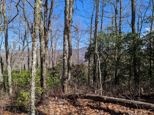
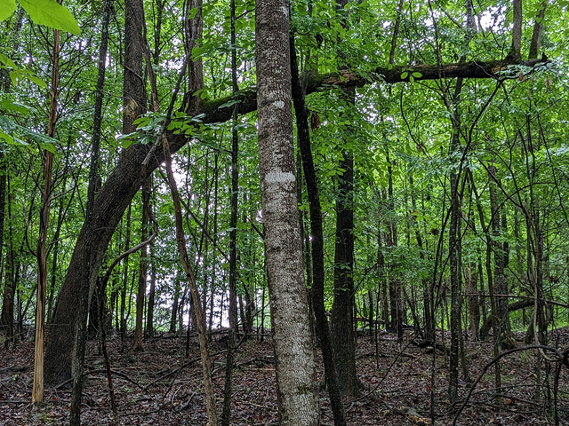
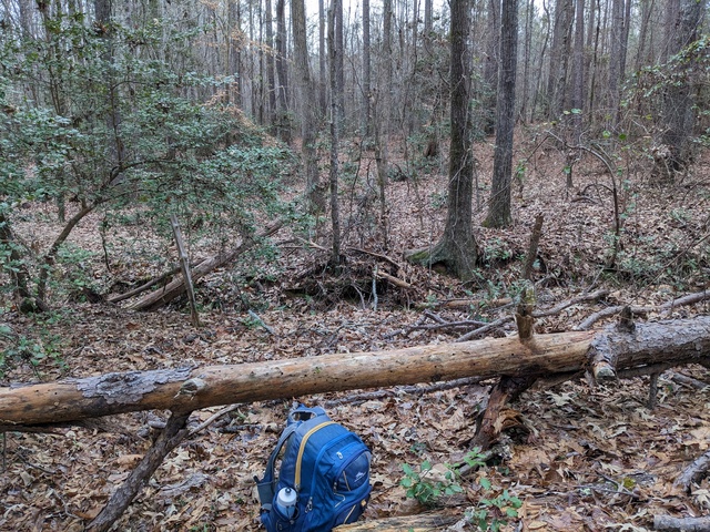
N.B.: A tree that falls over is not necessarily done for.
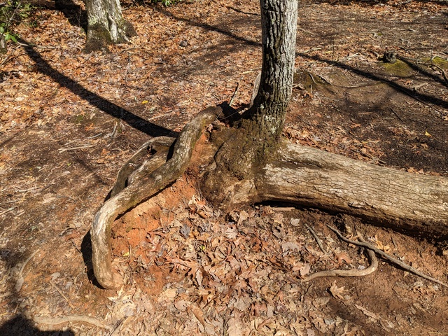
What, go off the trail? Here??
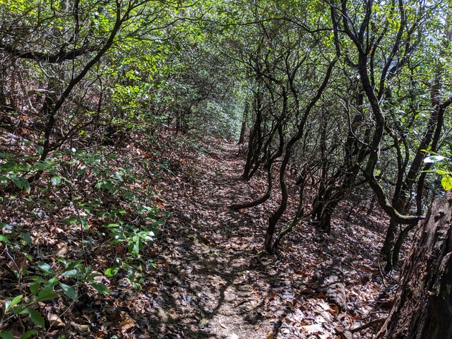
Again, there are places you could fall off the trail.
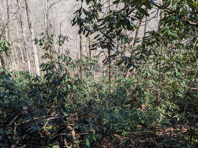
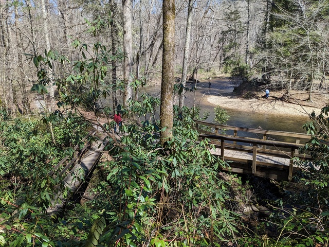
Finally, back down to the river. Whew.
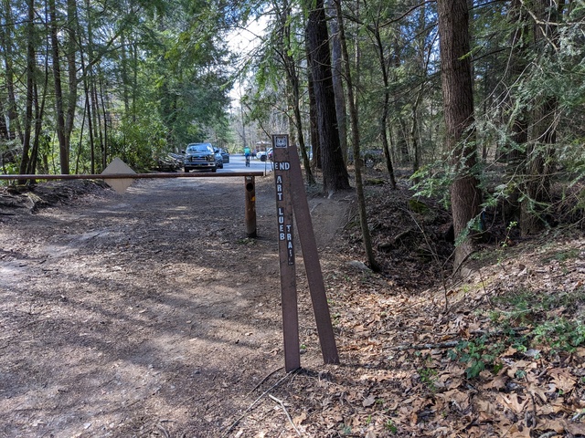
And the end of the Art Loeb Trail.
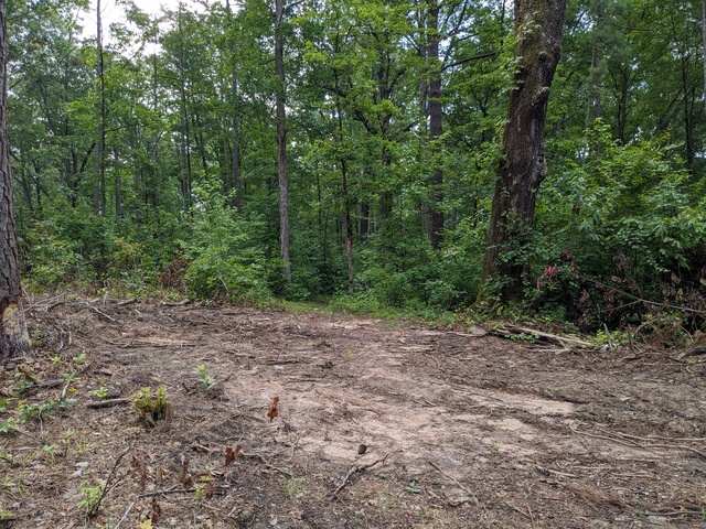
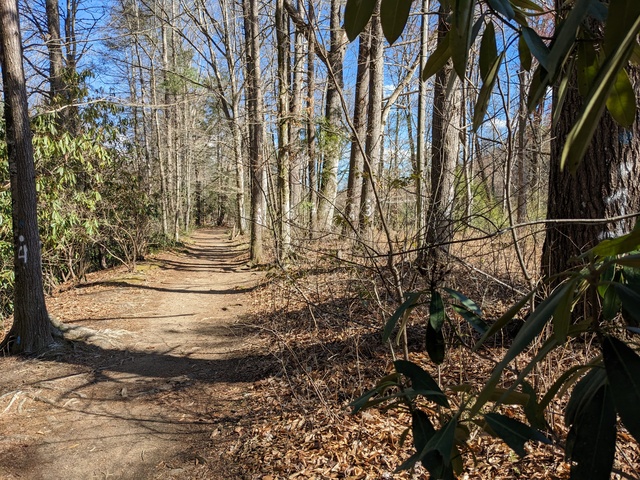
Of course, I’m still not back to the campsite. Most of the way from here is like this, no climbing to speak of, no tree roots to tiptoe over, no precipitous falls if you make a wrong step.
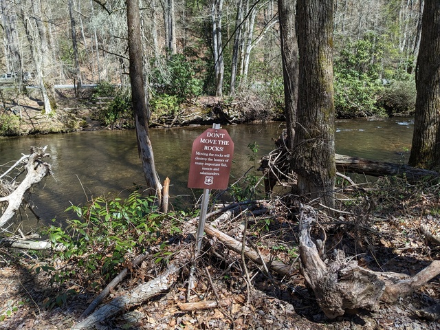
Nope, don’t move the rocks. That would be leaving a trace.
There’s a few places where the river has some little rapids.
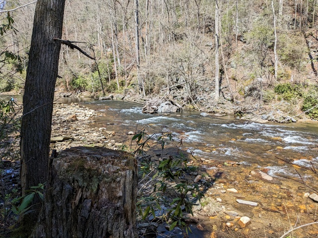
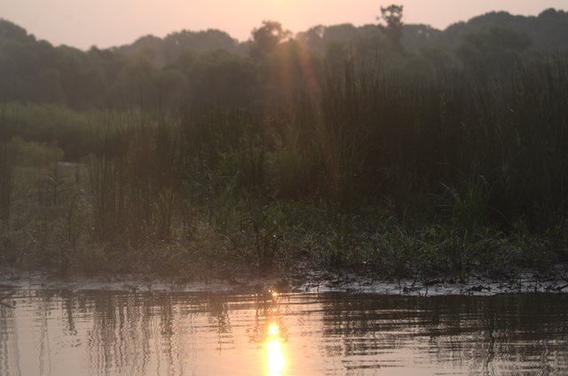
And finally, a day well done, and the sun about to close up shop behind a cloud and mountain.
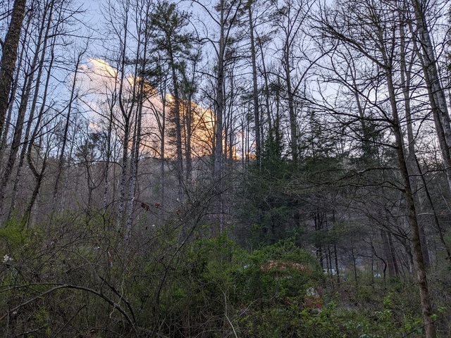
Until sunrise the next morning, and time to pack up and go back to “civilization”.
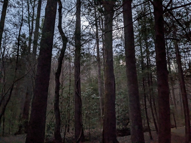
I didn’t head straight out of the mountains just yet however. REI was offering a class in “wilderness survival”, which I thought would have Useful Information to know as I approached that backpacking trip. And it did. Highly recommended if you might be in the wilderness. It won’t make you an expert, but will give you things to think about and a good idea what else you need to learn (for example, I need to work on my knot tying).

All in all, a good trip, met the objectives, a learned a good bit. I knew those trails would be a stretch for me, and they were, but at no point did I consider giving up. There were a few times, however, where I wondered “what have I gotten myself into??”

Strava links:
North Slope trail
North Slope/Art Loeb trail
Creature Feature 2023 #1

Well, everything else around here seems to be getting into spring early, so I figured I might as well join in and start using my new boat permit. (Reminder, since it’s been a while, you can click on the images here to get to a full-resolution version.)

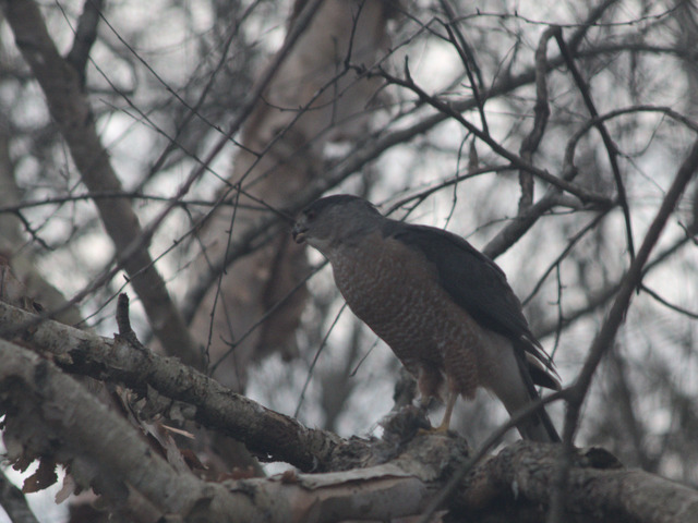
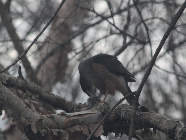
A little catch up, a few weeks ago I was about to go out the back door and stopped to see if I’d be disturbing anyone out there. I saw this Cooper’s Hawk in a nearby tree:

Turns out he stopped by for a late dinner (there wasn’t much light left). Later I looked around and found what looked like some Chickadee feathers below the dinner table.

Lots of creatures find a meal in my yard.

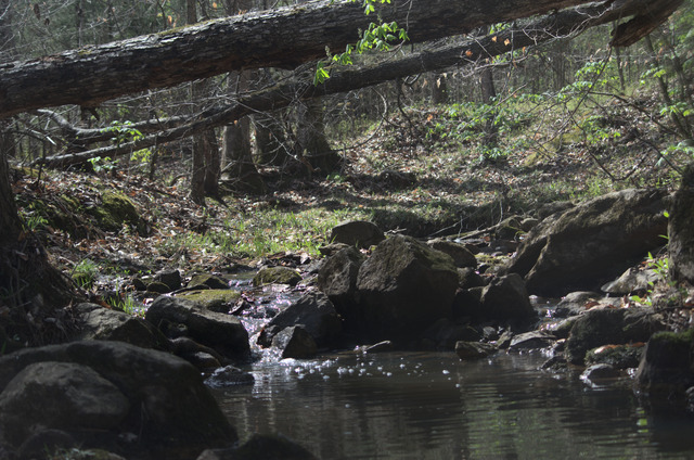
Anyway, like I said, things are greening up already:

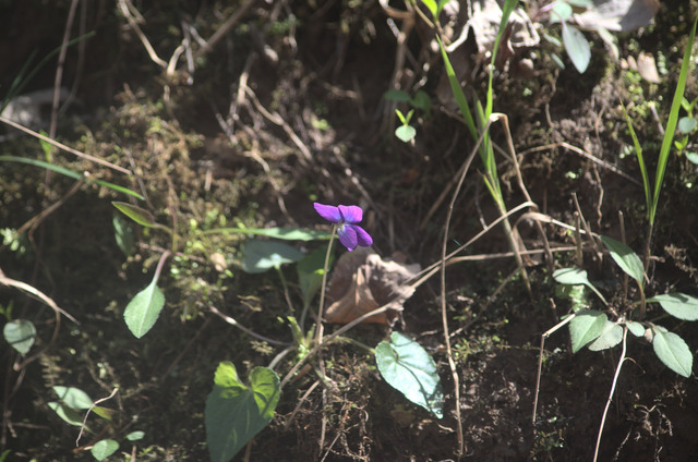
And there were a bunch of these little flowers popping up along the bank of that little feeder stream:

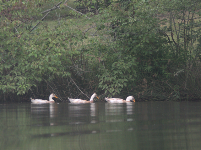
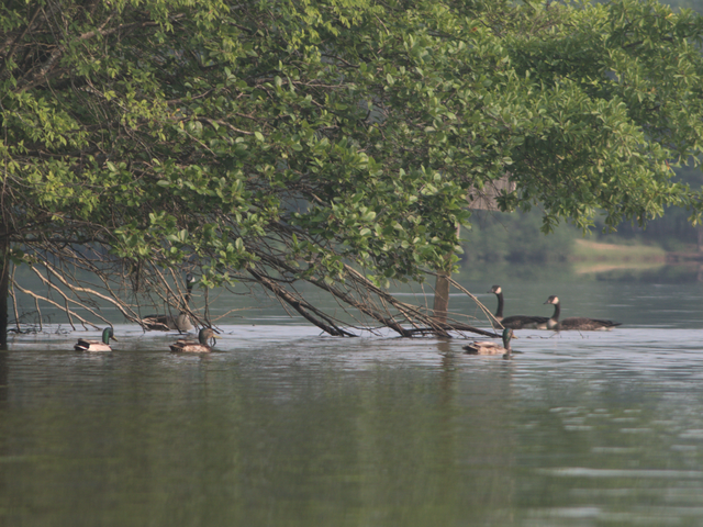
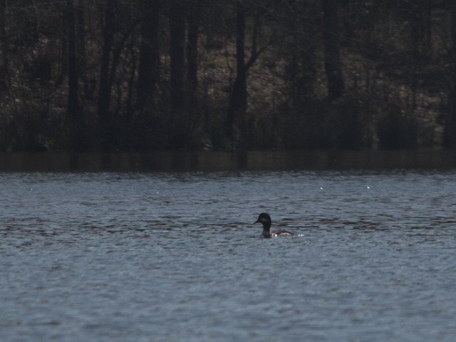
A few ducks were out and about:

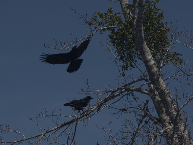
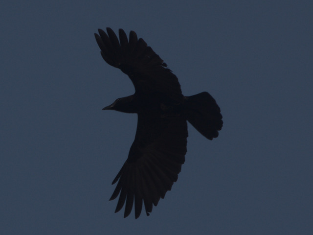
A group of my Corvid familiars were hanging out in some trees on an island:

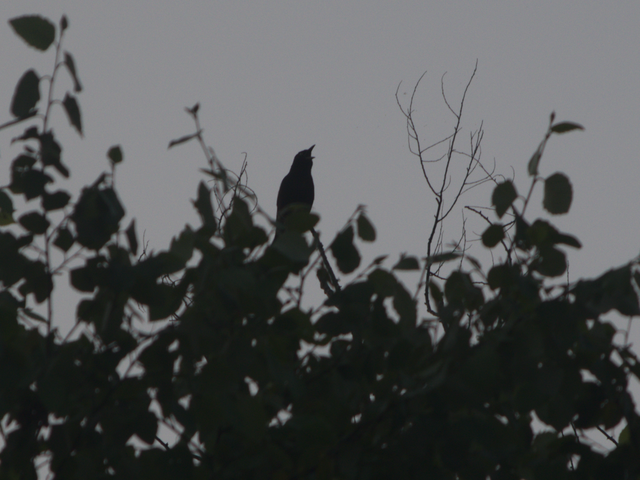
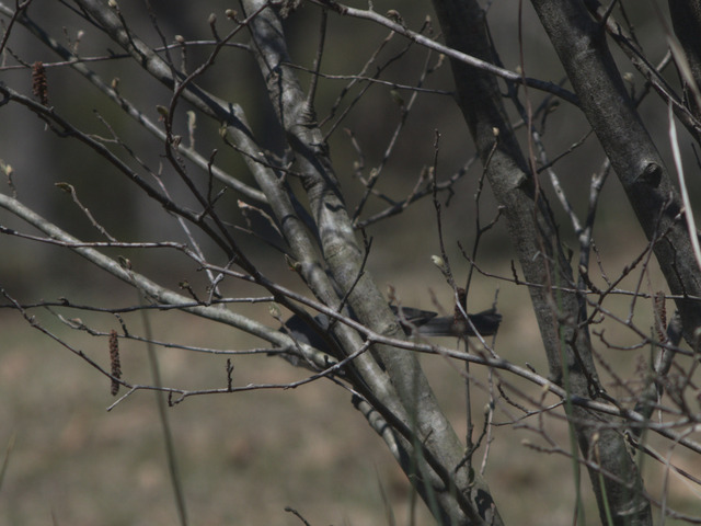
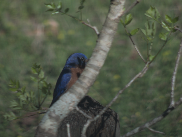
Motion caught my eye, and I was a bit surprised to be able to get a picture of this little Tufted Titmouse in a bush on the shore:

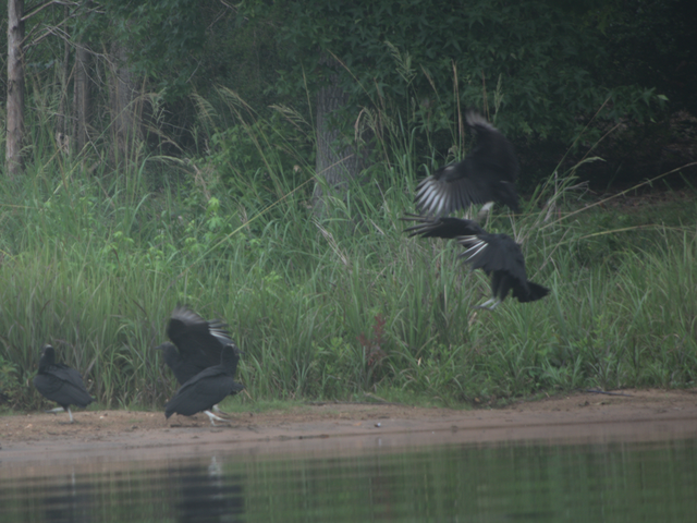
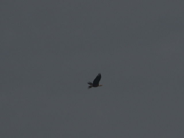
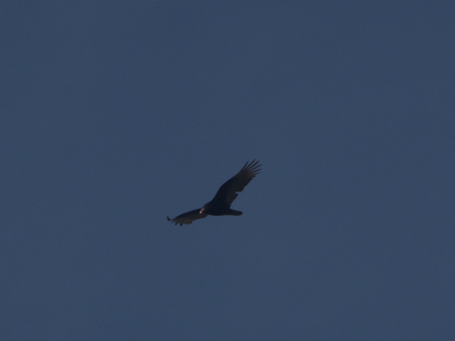
A Turkey Vulture was soaring up high, on patrol for a cleanup job:

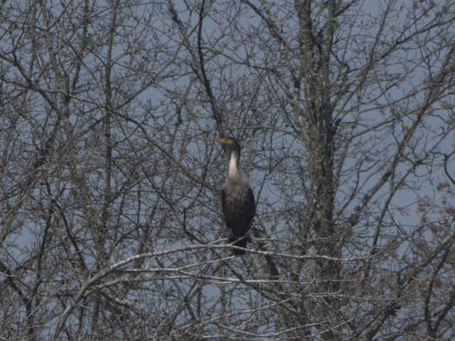
Cormorants are starting to gather in numbers here, getting ahead of the shad probably.

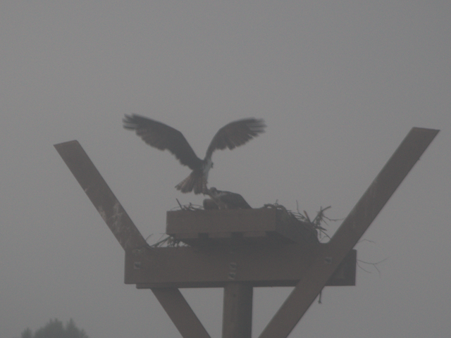
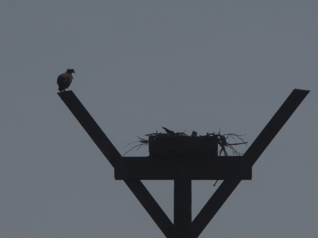
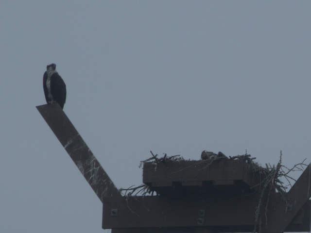
Not too early for the Osprey to be getting down to business:

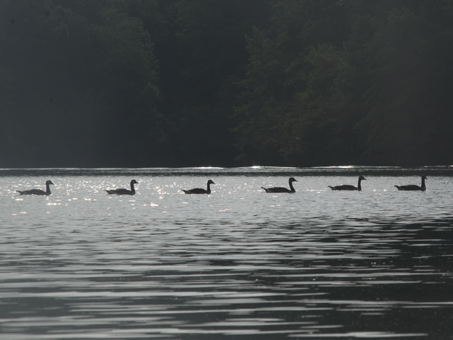
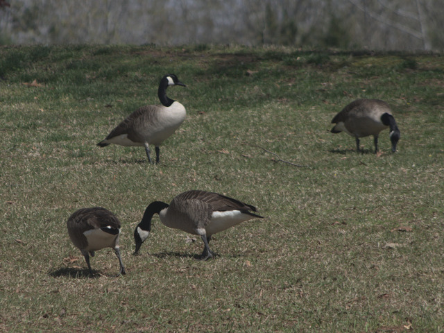
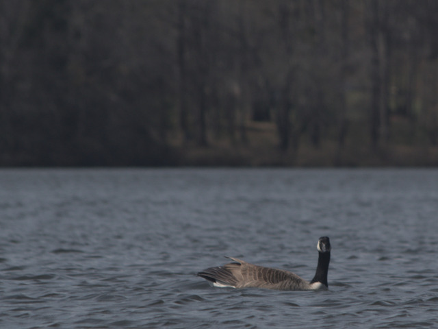
Didn’t see any Herons around, but of course the Canada Geese are here all the time (I hear ’em partying all night):

This guy let me get a bit closer than I would have thought, but she was also keeping a close eye on me:

Route on Strava

Vince Adametz, conclusion

I’m sorry the live stream didn’t work out, the videographer said they just couldn’t get the signal the needed out of where we were in the cemetery.

The recording is available for anyone who wants to see what went on. This will redirect to youtube:
https://my.anc.media/3ktdOpu

And, at this point, as they say, “mission accomplished.”

Arlington National Cemetery does something like (IIRC) 30 of these services per day, which necessitates a certain efficiency to keep things moving, however that efficiency does not impinge on the solemnity or dignity of these ceremonies in any way. At no point did anything seem rushed or like it was on a timeline. They do this Right. Everybody we encountered, from the guards checking IDs, people directing parking to the Honor Guard, Minister, and everyone else gave us complete respect and honor for our loved ones.

N.B. our videographer is not affiliated with Arlington National Cemetery. The Cemetery does not provide this service, nor do they even recommend videopgraphers.

Arlington live stream

For those who may wish to attend the ceremonies for my Parents at Arlington National Cemetery but are unable to Be There, we will have a live stream. You can test access and see a countdown at:
https://my.anc.media/3jb8GGb
This being the Washington ADIZ, sometimes the President or the Black helicopters cause communication interruptions, but we’ll do the best we can.
Ceremonies are scheduled for Tuesday, 2023-01-17, at 10:00 (am) EST.

Solstice at Croft

I thought the Winter Solstice might be a good time to pay a visit to my favorite place for a walk in the woods, Croft State Park. I know I was a day early, but, close enough!

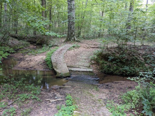
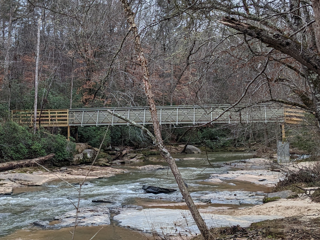
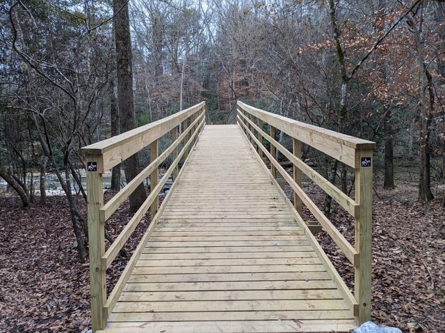
The good news is that the bridge across the Fairforest Creek, that was washed out some years ago, is back!

(as usual, click on the pictures for a full-resolution version) You can now cross the creek between the north and south part of the park (unless you have 4 feet):

With the bridge there, I decided to take a walk around the Southside Loop Trail.

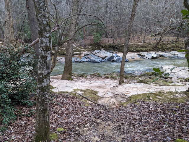
Contrary to the assertion of a friend, the Fairforest Creek is not a “babbling brook”. It was quite coherent and I understood its every word.

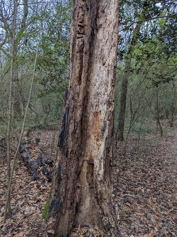
This old tree looks like it’s been a buffet for woodpeckers.

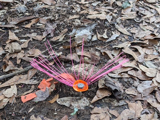
I came across this apparently late-blooming plant. The thin pink leaves caught my eye, and the round leaf with markings that look amazingly like “survey marker do not remove” probably gives this plant a survival advantage in areas frequented by humans.

Actually, there were a number of these in areas that looked like work had been going on. I know they’ve been trying to clear any Dangerous Things left over from when this was a World War II training base. In the meantime, stick to the trails and keep your eyes open.

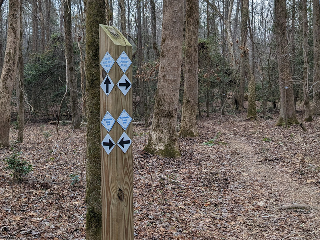
As is usual for Croft, the trails on the south side are well marked. Um…. yeah, I think I should go THAT way.

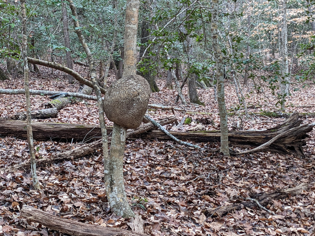
I’m not sure what caused this tree to grow a gall like this, must have been pretty irritating:

Along the trail I saw arrows pointing to the side, but no other markings. That little spur lead to the power line right-of-way and I figured that’s all that was. Oh wait, maybe that was the detour!
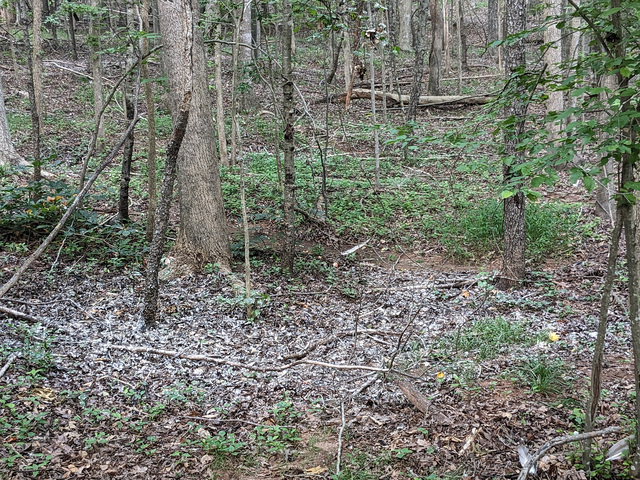
In some areas the trail gets a bit vague, but if you look farther ahead with a wider view you can make it out:
It’s a bit jarring when the trail suddenly gets hard and gray and Reeeally Wide:
but just past that point it’s all back to a normal, comfortable forest trail:

I took a side helping of Fern Gully Trail. I found the Fern Gully:

Which was also a good place to pause and lighten my backpack. N.B. lightning the backpack doesn’t necessarily lighten the total gross weight, it just moves the center of gravity a bit.

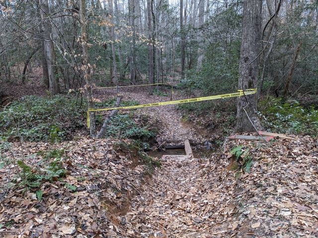
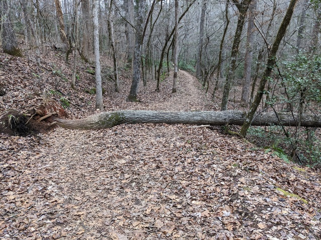
The south side trails are frequented by mountain bikers. I imaging this would give them pause:

The other side of that log had some rocks piled up to form a bit of a ramp, so I guess the bikers usually go around clockwise, while being my usual odd-ball self I was going counter-clockwise.

All-in-all a good day. The NWS was putting out special weather statements all day about sleet being mixed with the light rain across the area, but that all stayed south of the park and I just heard some light rain falling a few times.

Route on Strava, which also took in the Fairforest Loop Trail as I wasn’t quite ready to leave the forest after completing the Southside Loop Trail.
Forest fog

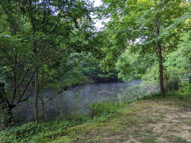
I awoke this morning to a thick fog over the lake and through the trees, and thought “What a great time for walk in the woods!”. The nearby Lake Rabon Park has a small network of trails in the woods, so off I went.

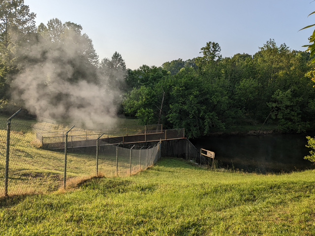
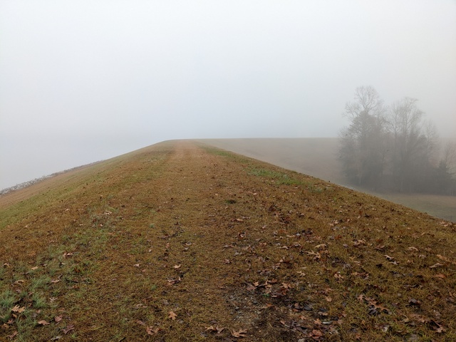
Not much to see from the top of the dam (picture taken from behind the fence with the “nobody allowed on dam” sign).

With the recent rains, there was a pretty good flow through the lake overflow and into the creek below.

Nothing coming over the spillway though. I don’t think I’ve ever seen the water high enough to hit the spillway.

A nice quiet walk along the creek.

Some of the trails involve some climbing.

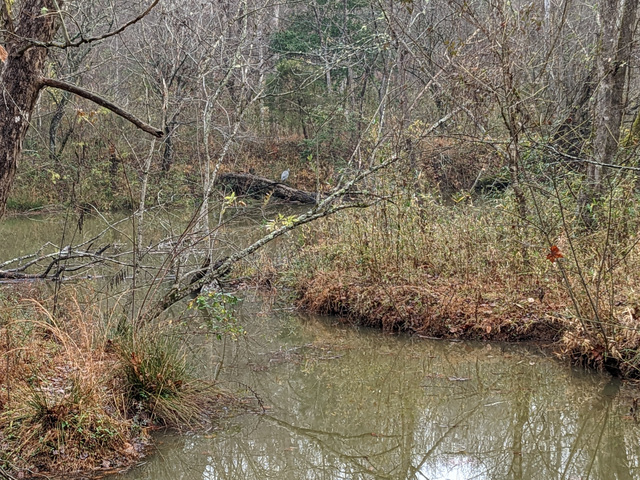
I was coming to the bridge when a Great Blue Heron flew by, giving me a good look. She landed a bit downstream, where the stream under the bridge meets the Rabon Creek.

I’m pretty sure I saw a Pileated Woodpecker too. No chance for a picture, and I only saw him for a second, but a large black bird with a flash of red narrowed it down.

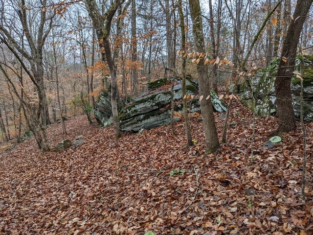
I wonder if some of these rocks would stil be there if not for the trees (which came first?).
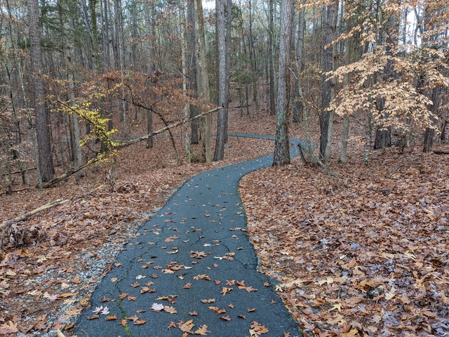
Not all the trails are as nice as the ones above, some are paved.
More at DuPont State Forest

If I’m going to travel a good ways, as I did for my stay at Ash Grove, I try to add something else to the trip to make the most of it.

In this case, I stopped off on my way up to take in a class on backcountry navigation put on by REI. I already knew a good bit about navigation, but it was helpful and interesting to put that knowledge to use in a different context. The class took us up to the old airstrip in what is now the DuPont State Recreational Forest in western NC, USA.

Afterwards I realized that, while I have a pilot friend who would be interested in what was still there at the old airstrip, I didn’t take any pictures. With some time to spare, I stopped off there again on my way back and took a little walk up there to get pictures.

The airstrip is long abandoned and I wouldn’t suggest anyone land there except in an emergency. Of course, in an emergency, you’ll land wherever you can.

The airstrip was used by DuPont when they built a plant there. The local lore is that they built there because they needed the pure water for whatever it was they were manufacturing. Eventually, as has happened so many other places, the plant closed down and the land was conveyed to the state to form the recreational forest, which is what the area is today. The area where the plant itself was is closed to the public, the story being that that’s because of industrial contamination. It’d be rather ironic that they built the plant there because of the clean environment and then left it uninhabitable.

There are also stories that this airstrip is where most of the illegal drugs coming into the eastern US in the 1970s landed.

Anyway, after getting my pictures, I started back and stopped at the fork: hmmm…. I think I’ll take the road that’s less of a road, the Mine Mountain Trail.

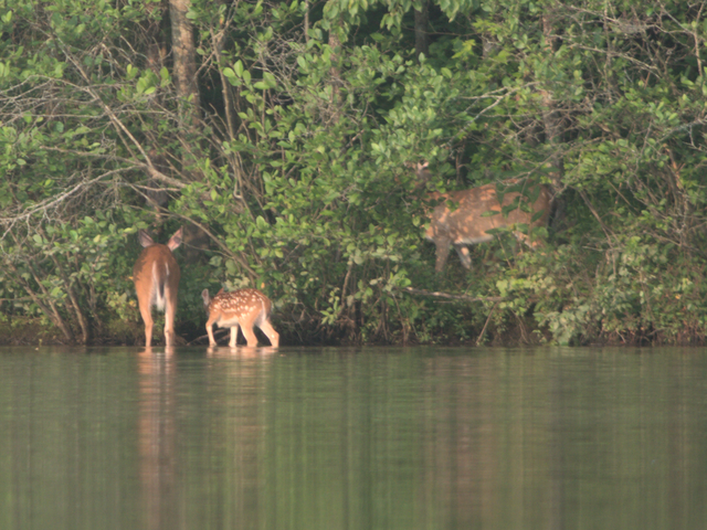
The trail offers a commanding view of Fawn Lake (I never did see any fawns there though):
The trail is also used by mountain bikers. This would be a Bad Place to run off the trail, on either side:
Nice view from the top:

Made for a nice little walk. Also on Strava

5-star accommodations, Ash Grove

I would rather sit on a pumpkin and have it all to myself than be crowded on a velvet cushion. I would rather ride on the earth in an ox cart, with a free circulation, than go to heaven in the fancy car of an excursion train and breathe a malaria all the way – Henry David Thoreau, “Walden”

I was looking to spend some time at a campground and pretend I was making a real backpacking trip so I could test out my logistics. I wanted some place with trails where I could “hike out” with my pack, and what they call “primitive” tent camping sites that actually aren’t too far from parking in case I forgot something or even needed to abort. I found such a place at Ash Grove in Brevard, NC, USA.

With the quote above in mind, it should be understood that I’m serious when I say my accommodations at Ash Grove were, to me, luxurious. We all have different needs and wants, and this place met mine perfectly.

The first thing you notice upon arrival, is that there is very little that’s flat (those who think the earth is flat take note).

(As usual, you can click on the pictures here for a full-resolution version.)

I met Mark and Ester, the owners. They were very helpful and easy to talk to, and they met all my needs and answered all my questions. As I began my 2-night stay there, I found that the campground was exactly as presented on their web site. All the policies and rules are clearly spelled out, and I get the impression that there would be little tolerance for violators. As these policies and rules were perfectly in line with what I was looking for and my values, this was fine.

One thing I asked about was if there was any concern about dangerous animals, like hunters or bears. At least at this time of year, the answer was basically no, although one of the trash cans suggested that there might be times to be more wary.

Aside from that, all the facilities I took advantage of (admittedly not many because of my objective) were all in good order.

Ester made sure I had what I needed and showed me to my campsite, or my 5-star luxury suite on the hillside.

Spacious cooking and dining accommodations:

Holly berries for decor (don’t eat them, they’re for the birds, a few of which visited while I was in residence)…

Hey, now we’re cookin’ with gas! I like this little burner that just screws on top of the fuel canister. Packs up small and weighs little.

The view from the living room was one I could just sit and watch, and listen to the creek at the bottom of the hill (and did).

In the evening mood lighting was available.

The bedroom was more than ample for my hammock. I tossed my heavy coat over the ridgeline for a little extra insulation during the expected cold night.

and had a nice sunrise view.

The late-day sun showed up what, at first, I was sure was a large spider web:

but upon investigation turned out to just be an alignment of pine needles that caught the light just right.

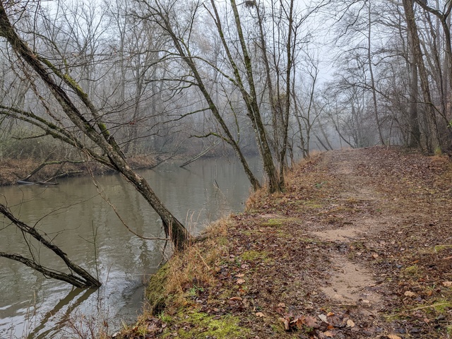
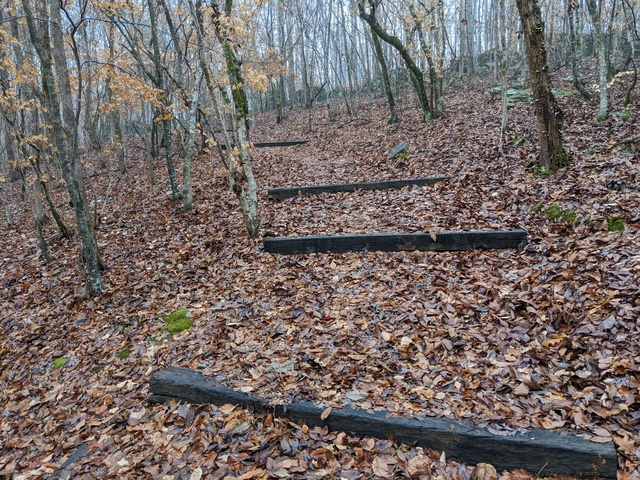
There is a network of trails on the hillside that comprises most of the campground. The trails leading to the tent camping sites are well manicured for ease of travel with gear (wheelbarrows are available if needed), but the rest are kept as natural as practical. Some might find some of the trails difficult, but this woodland bird was perfectly happy with the climbing (remember: when you go down a hill, sooner or later you’re going to have to go back up) and being careful with the footing, especially with a backpack. I suggest stopping often to look around, but watch the trail when in motion.
I found some ice crystals on one of the trails early in the morning (-4.7C/23F, according to a Weather Underground station near by):

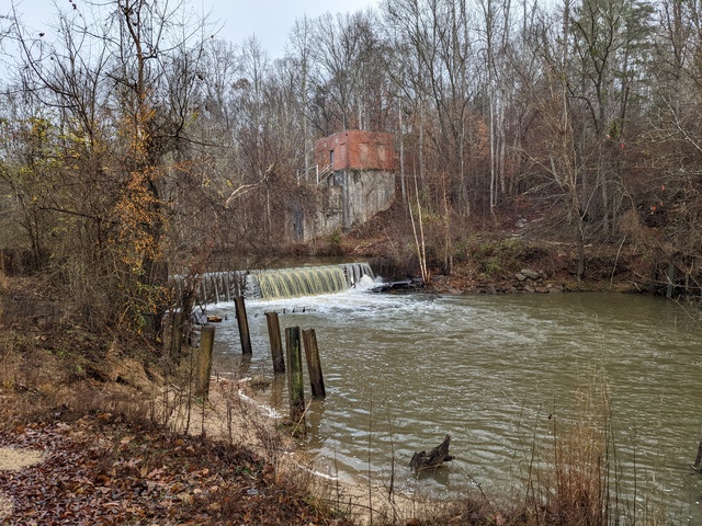
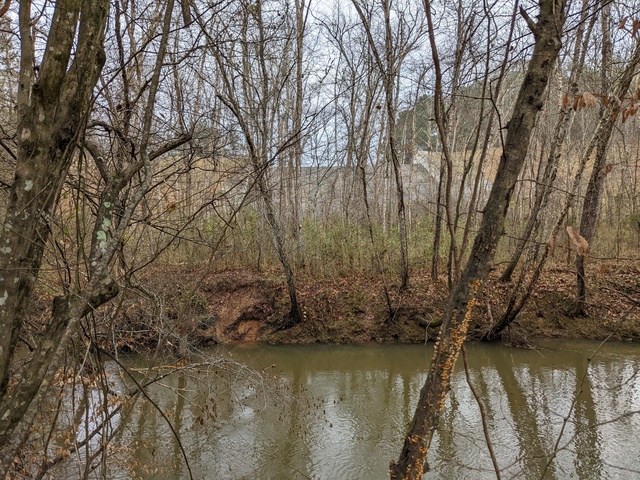
There are places, especially along the creek, that are just, well, beautiful.

I came across this tree that reminded me of a question mark, and it was in one of those places where it’d be good to just stop and think about deep questions like, What is really important? How did the tree get this way?

There is also a small waterfall. It’s not spectacular like you might find in other nearby locations, but the intimate beauty of the spot had me just sit and watch for a while. A good place to just Be.

If there was one thing I might find fault with, it’s the same thing I’ve run into at many other places, both public and private: accuracy of the trail maps. I found a couple of intersections that were not as mapped. The chance of getting really lost on these trails, however, is remote (just head uphill, you’ll come to something), so this is a minor nitpick to prove I’m not just reporting only the good stuff :).
All-in-all this was a wonderful almost-48-hours spent outdoors. In my admittedly-limited experience with campsites, I think Ash Grove is rather unique with the natural areas and tent sites that are spread out, and not parking-lot-style as I’ve seen in some places.

Two wingtip primaries up! (what, you were expecting a bird to have thumbs??)

Oh, and my logistics worked out pretty good, with no significant issues. I have some notes and will make some adjustments for the next adventure. That won’t be until after the Arlington trip.
Going to Arlington

My parents, Vincent Adametz, and his Wife, Margret, will be laid to rest together with military honors at Arlington National Cemetery, Arlington, VA, USA on January 17, 2023, at 10:00 EST. Anyone wishing to attend is welcome, just drop me an Email at the address on my About page so we’ll have a count. I intend to have a videographer make a recording of the event that I will share afterwards.
Arlington National Cemetery information: https://www.arlingtoncemetery.mil

My Dad’s first-hand account of his war experiences is available in the World War II section of the menu in the right.

Creature Feature 2022 #5

I was planning a bike ride this morning, but there was just a bit too much fog in the area for my tastes, or risk analysis. A quick change of plans got me out on the lake instead.

Some Double-Crested Cormorants are still hanging around:

Great Egrets are around this time of year, but this isn’t one of them. This is actually a juvenile Little Blue Heron (fool me once…):

The Geese are, of course, here year-round:

These Geese might have been migrating, but I suspect they were locals out practicing migration formations:

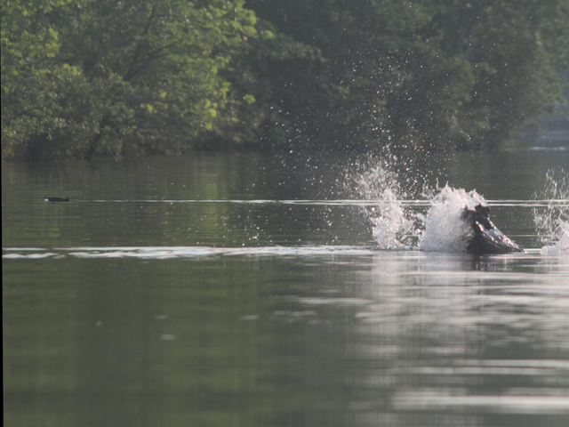
This Osprey seemed to be just playing around in the wind. I’m sure, though, that if he spotted a fish, play time would have turned quickly into lunch time:

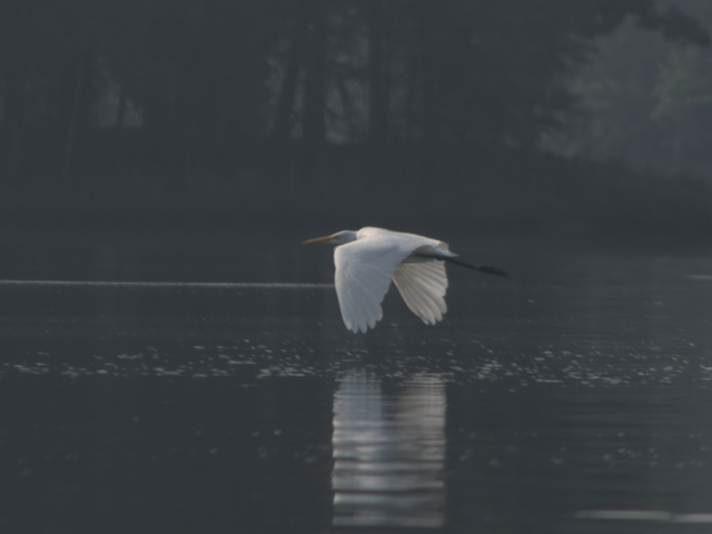
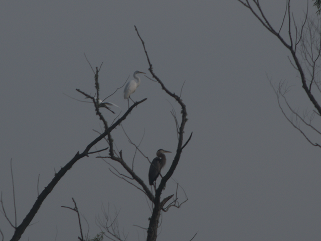
Now here’s the Great Egret:


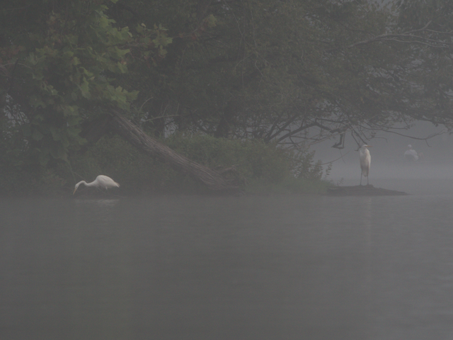
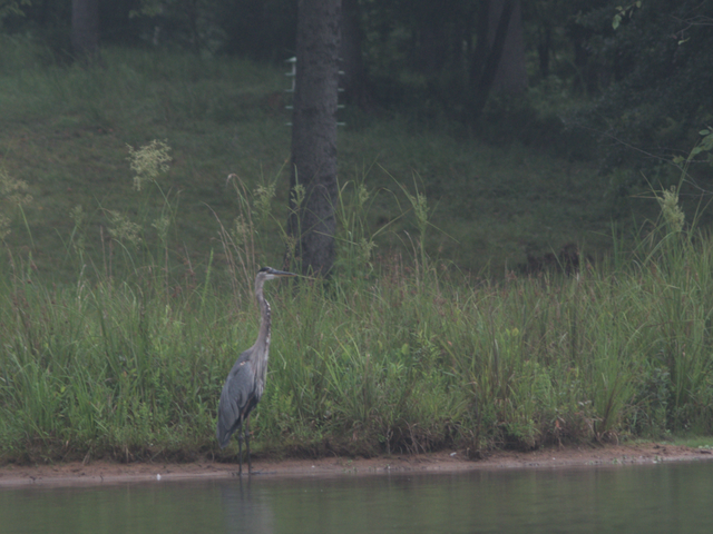
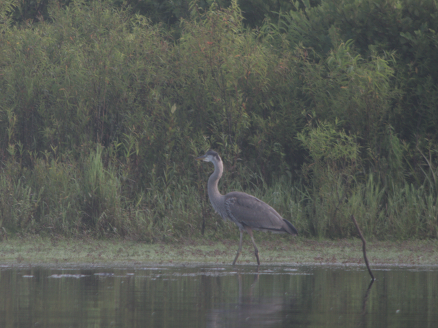
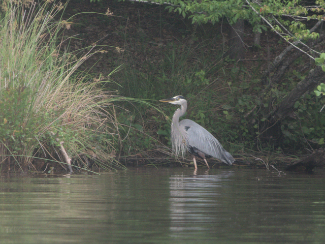
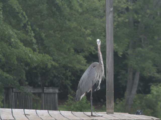
And, of course, the Great Blue Heron picture. This one was standing on top of a duck house at the end of a backwater and didn’t seem concerned at all about my approach.

This one was hanging out near the Cormorant and decided to head off into the fog: